
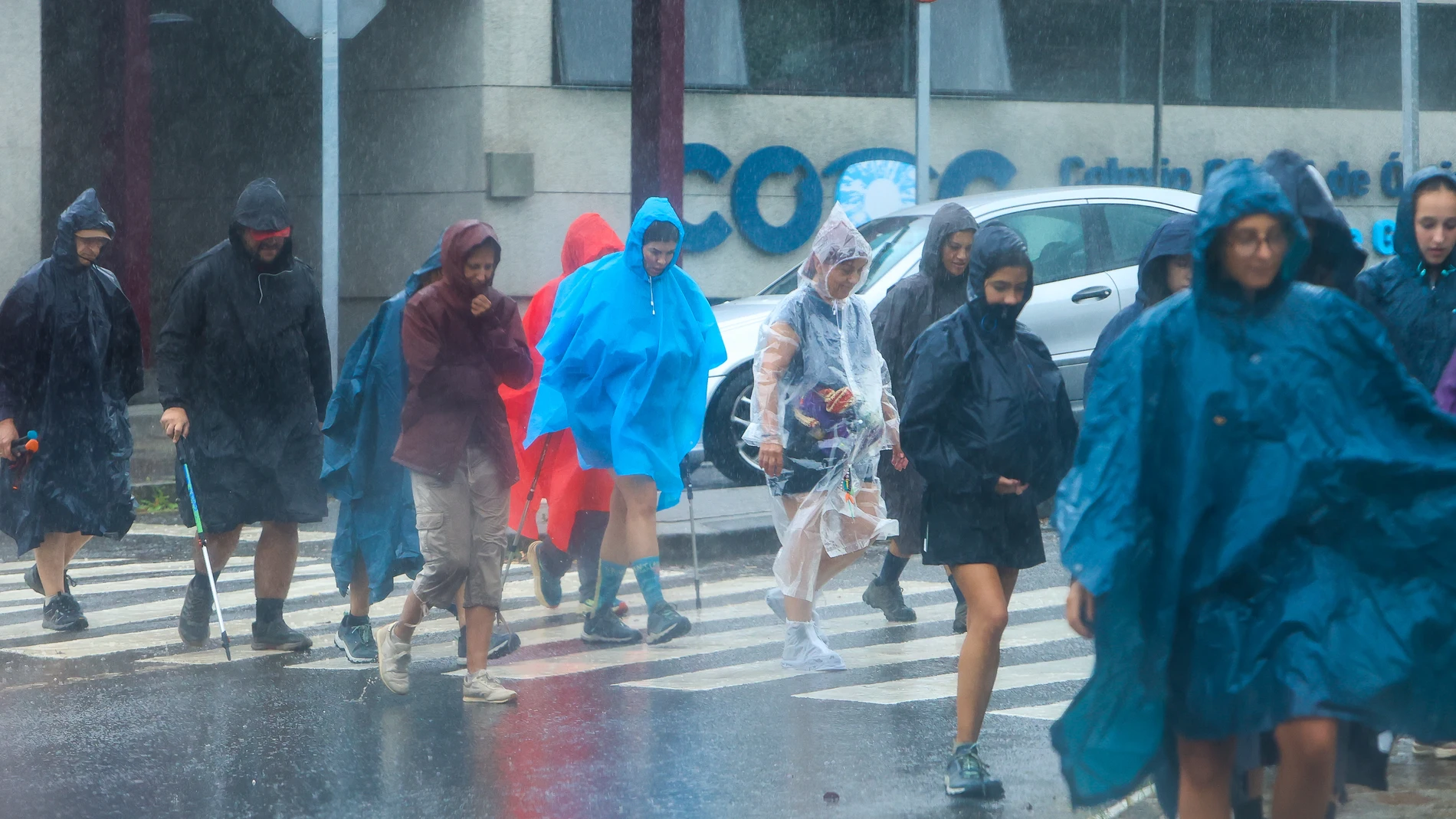
Catalonia will have a sudden change in weather this Wednesday, September 9. The day will combine very overcast skies, showers and storms in much of the territory, with a progressive improvement in the west and more instability in the eastern half. The episode will leave a much fresher atmosphere after several days with summer records.
The rain will not be distributed equally between the regions. The Pyrenees and the eastern areas will concentrate the most active nuclei, while the northeast of the Lleida Depression and the north of Tarragona may also receive intense rainfall. Hail is among the expected risksespecially where storms gain strength.
The front will also change the weather in the rest of Spain. During the first half of the day, weak or moderate rains are expected in the northern half and Extremadura, while in the afternoon activity will increase in the Balearic Islands and the southeast. Conditions will vary greatly between regionswith the Canary Islands under low clouds in the north and haze.
Rains by regions
The State Meteorological Agency (AEMET) predicts that showers accompanied by storms will affect the Pyrenees and the eastern half of Catalonia, with strong or very strong intensity in some points. In the northeast of the Lleida Depression and the north of Tarragona, intense irregular rainfall is also possible, with increased activity expected in the northeast and possibility of hail.
In the Pyrenees, the combination of rain and storm can complicate visibility and road travel in mountain sections. The prediction also contemplates that rainfall will reach other inland areas, although with less intensity. The front will lose strength in the afternoon in many areas, but the central coast will retain options for showers until the last hours.
Barcelona will be within the areas with the possibility of strong or very strong storms, while Girona will face showers and hail with greater probability in the interior. Tarragona is also among the territories that can receive intense rainfall, especially in its northern half. The risk will extend from the peaks to the coast, with clear differences between nearby regions.
The rest of Spain
In the rest of the Peninsula, the front will maintain cloudy skies in the northern third and leave rain in more parts of the northern half and Extremadura. In the afternoon, storms may appear in the Balearic Islands, the southeast, the south of the Iberian system, the south of Castilla-La Mancha and the east of Andalusia, with possibility of hail and very strong gusts. The most intense outbreaks will move towards the Mediterranean.
The maximum temperatures will drop across the Peninsula and the archipelagos, with notable or extraordinary declines in the northeast. Only 35 degrees will be exceeded in points of the Guadalquivir, Alborán, Murcia and the Canary Islands, with Murcia at 37 and Seville at 35. The wind from the north will dominate a large part of the map and the storm may strengthen in the Ebro valley. The drop will affect most of the country.
In the Canary Islands, low clouds are expected on the northern slope and clear skies in the rest, with trade wind and haze in the archipelago. In the northeast of the peninsula and the Balearic Islands, morning mists are also likely, while the north wind may leave very strong gusts in the Ampurdán.