
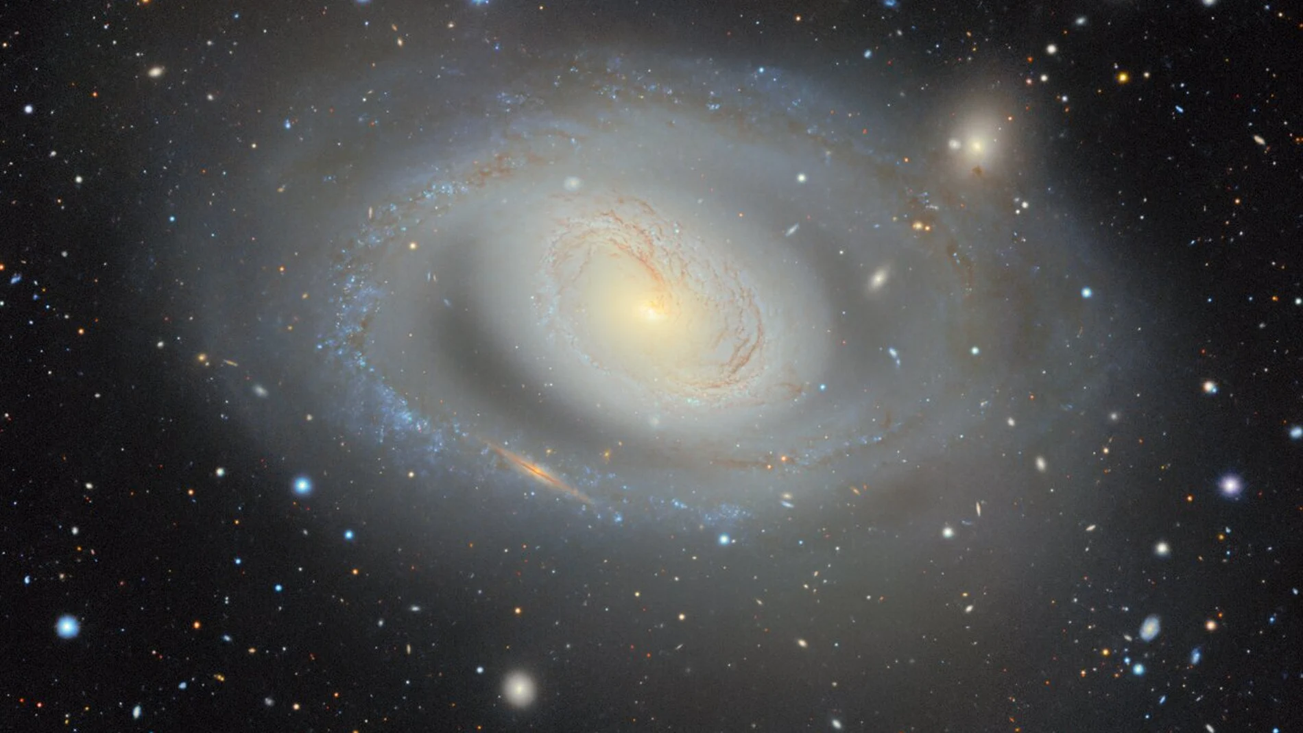
An international team of astronomers has completed the largest two-dimensional map of the skya mosaic of 5.6 trillion pixels that allows you to explore for free near 4 billion celestial objects. It mainly includes stars and galaxies and is available on a website that anyone can open from their browser.
Since last August, a new version of the map has been available, the result of 13 years of work and prepared by the project DESI Legacy Imaging Surveys. Is called DR11English abbreviation for ‘eleventh delivery of data’, and expands the previous images and catalogs until reaching the dimensions described. More than 160 scientists They participated in collecting the observations and a team of twenty people prepared the final data set, according to NOIRLab.
The images shown in the atlas come from observations made with different telescopes. Combine 263,407 exposures from three astronomical campaignswith contributions from the telescope Victor M. Blanco in Chili and telescopes Mayall and bok in Arizona. Víctor M. Blanco uses DECama camera 570 megapixels designed to study large areas of the sky.
The data is complemented by infrared observations from the satellite WISE from NASA. DR11 documentation details that this version incorporates additional DECam images obtained between August 2013 and September 2024, including those from other research projects. The different shots are processed and combined to build the mosaic and measure properties of the objects, such as their brightness and shape..
The result covers approximately three quarters of the sky seen from Earth. That 75% refers to the surface of the sky, not the volume of the universe. Among the regions left out are those where the dust and stars of the Milky Way They make it difficult to see what is behind them.
To explore the images, simply access the Legacy Survey Sky Viewer from your browser. The viewfinder allows you to pan across the sky and zoom into regions to examine your objects.
This atlas is related to another project, DESI’s three-dimensional mapwhich represents different information. Legacy Survey Sky Viewer shows where objects appear in the sky and what they look like. The three-dimensional map incorporates the distances of galaxies and quasars to locate them in space. To do this, it is based on measurements collected over five years by the Dark Energy Spectroscopic InstrumentDESI for its acronym in English, installed on the Mayall telescope.
The relationship between the two begins with the selection of the celestial objects to be studied. Astronomers use the images in the atlas to choose objectives and then DESI analyzes your light at different wavelengths to determine their distances. This information helps to investigate How the universe has expanded and what role dark energy plays.