
The El Niño phenomenon has already been consolidated and will continue to intensify during the coming months until reaching an intensity “very strong”according to the latest bulletin of the World Meteorological Organization (WMO). The United Nations agency warns that the episode will cause significant alterations in temperature and precipitation patterns in different regions of the planet and increase the risk of floods, droughts and episodes of extreme heat.
The WMO forecast also stands out for its high certainty: the probability that El Niño persists until February 2027 approaches 100%. The organization considers that this is an exceptionally high estimate and points out that it is the first time that one of its El Niño/La Niña Today bulletins offers such a categorical forecast, reflecting the broad consensus among specialized centers that follow the evolution of the phenomenon.
El Niño will reach its maximum intensity at the end of 2026
The extraordinary warming of tropic pacificHe is behind the strengthening of the episode. The waters of the central and eastern areas of the equatorial Pacific continue to register temperatures much higher than usual, conditions that favor the evolution of the phenomenon.
The models suggest that El Niño will reach its maximum intensity towards the end of 2026. However, the fact that the episode then reaches its peak does not mean that its consequences disappear: the influence on the global climate could be prolonged. until well into 2027.
“The El Niño phenomenon is taking on enormous proportions before our eyes”has warned the Secretary General of the United Nations, António Guterres, who has warned that the planet is in a “risk zone” due to the increase in extreme weather phenomena.
WMO Secretary-General Celeste Saulo has stressed that, despite its name, El Niño can have considerable consequences for communities and economies around the world. Faced with an episode that he considers exceptional, he has demanded equally exceptional measures of preparation and response.
The ocean registers extraordinary temperatures
The evolution of ocean temperatures helps explain why the WMO expects El Niño to continue strengthening. Between May and July 2026, the sea surface temperature in the central and eastern areas of the equatorial pacific was more than 1.5 ºC above the average.
In July, the anomaly exceeded 2ºC. Furthermore, between the end of July and mid-August, weekly temperatures reached between 2.2 and 2.6 ºC above normal and continued to increase.
Warming is also especially intense beneath the ocean surface. During July and early August, subsurface temperatures reached as high asexceed the average by more than 8 ºC in some areas.
For the WMO, the combination of these conditions clearly favors the persistence of El Niño and makes it possible for the episode to continue intensifying during the coming months.
More heat and changes in rainfall
A very strong El Niño episode can significantly modify temperatures, precipitation and atmospheric circulation in many parts of the world. Its effects, however, will not be the same in all regions and will also be conditioned by other climatic factors and the time of year.
WMO models suggest that between September and November 2026temperatures will likely be above normal in almost all land areas of the planet.
Regarding precipitation, experts expect patterns compatible with the intense atmospheric response that usually accompanies strong El Niño episodes in the Pacific.
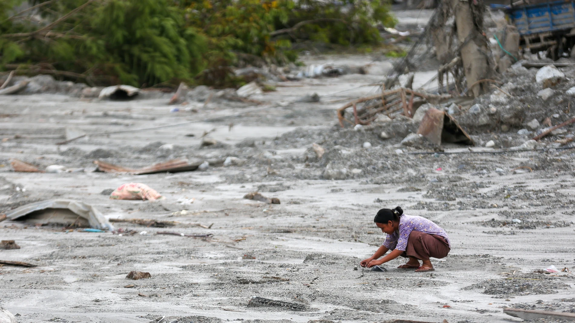
The outcome can be very different depending on the region: while some areas face droughts and water shortages, others could suffer torrential rains, floods and landslides. These changes may particularly affect weather-sensitive sectors such as agriculture, water resources, energy and health.
A phenomenon with effects throughout the planet
The Boy and The Girl They are the two opposite phases of the El Niño-Southern Oscillation (ENSO) phenomenon, one of the natural climate patterns with the greatest influence on the Earth’s climate system.
El Niño is characterized by an increase in ocean surface temperature in the central and eastern areas of the equatorial Pacific. The phenomenon usually appears every two to seven years and normally lasts between nine and twelve months, although its climatic effects can last beyond that period.
Its influence can be felt thousands of miles from the Pacific. In Central America, for example, altered rainfall can favor periods of drought and water scarcity, with consequences for crops. In India, the changes associated with the phenomenon can affect the behavior of the monsoon, while some areas of Africa, Southeast Asia and Australia may experience episodes of intense rain, flooding and landslides.
Agriculture is among the most exposed sectors. A reduction in agricultural production can result in crop failures, food insecurity and rising food prices.
The WMO reminds, however, that the intensity of El Niño alone does not determine the severity of its effects in each country or region. The consequences also depend on other climatic factors, including the conditions of the Indian and Atlantic oceans.
With El Niño still intensifying, the organization demands that governments and responsible organizations use the information available to prepare for its possible impacts. “There is no time to waste,” Saul warned.