
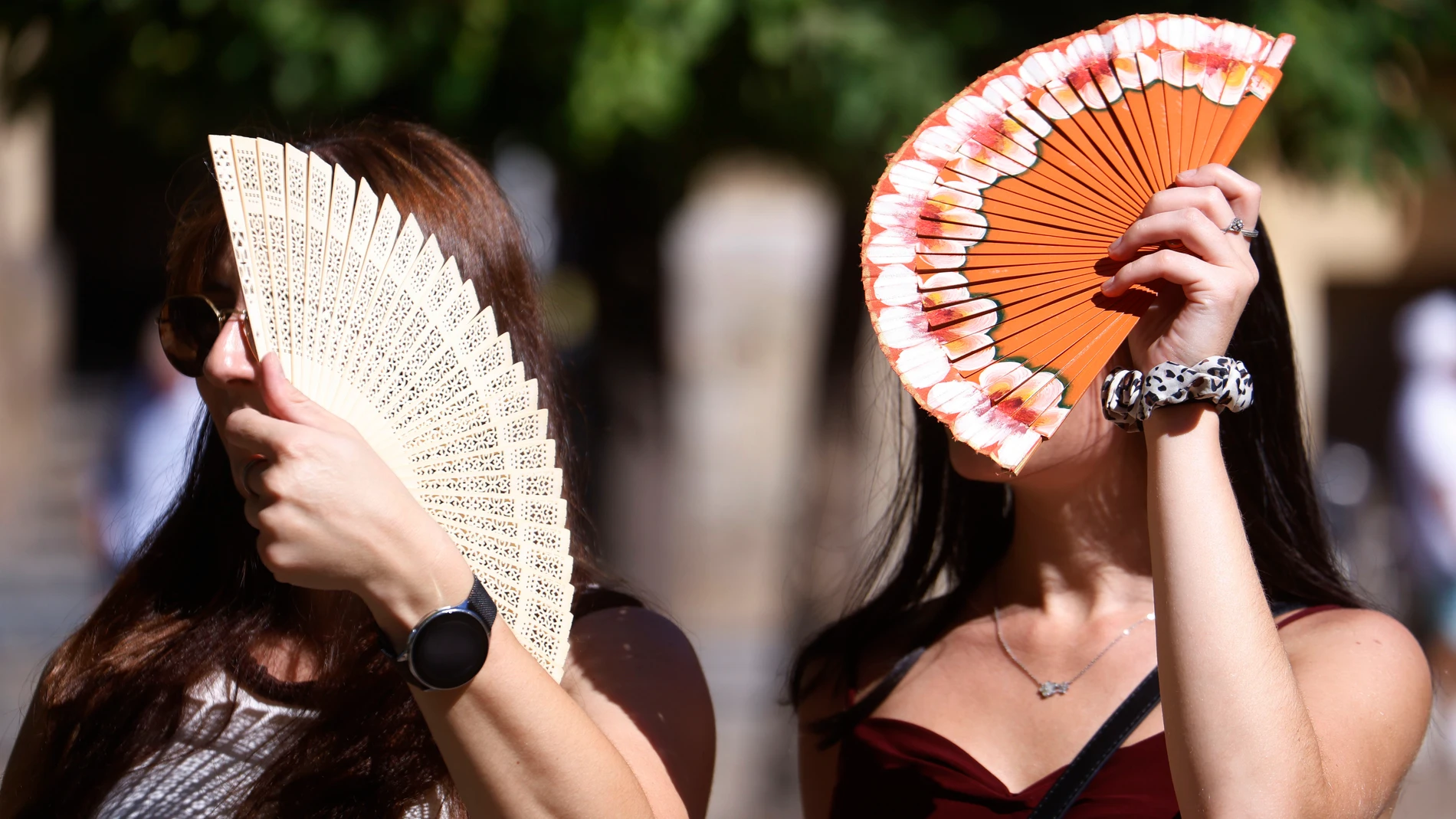
Spain prepares this week for the peak of an extreme heat episode which will leave the thermometers close to the 43 ºC in various parts of the interior and southern peninsula. The atmospheric stability will favor very high temperatures both day and night at least until Friday, with tropical nights and, in some points, minimum temperatures that may not drop below 25 ºC.
However, the situation could change ahead of the weekend, when the approach of a atlantic trough would increase instability and favor the appearance of stormsin addition to a drop in temperaturesespecially on the Atlantic slope.
The heat intensifies until Friday
Stability will continue tomorrow, Wednesday, in a good part of Spain, with the predominance of high pressures and slightly cloudy or clear skies in the Peninsula and the Balearic Islands. The State Meteorological Agency (AEMET) It only foresees cloudy or overcast skies, with low cloudiness and some drizzle, in the Strait, the coast of Alborán, Ceuta and Melilla.
In the north of the peninsula there will be low clouds during the first hours, although they will tend to dissipate in general. In the afternoon, evolving clouds will form in the interior of the eastern third and there could be some isolated shower or storm in mountain areas.
In Canary Islands Low clouds are expected on the northern slope of the islands and intervals of medium clouds on the easternmost ones. In addition, the prediction contemplates morning fog banks in parts of the north and northeast of the peninsula, as well as coastal mists or fogs in the Strait and Alborán. It is also expected haze in Alborán, the southeast of the peninsula and the Balearic Islands.
During the day, the maximum temperatures will rise in the Peninsula and the Balearic Islands, although the rise will be less pronounced on the coasts. Temperatures will continue to exceed 35ºC in large areas of Extremadura and western Andalusia, the southern plateau, the Ebro valley, the depressions in the northeast and Mallorca.
Minimum temperatures will also increase slightly, so it is expected tropical nightswith values that will not drop below 20 ºC, on the Mediterranean coasts and the Guadalquivir valley. In the Canary Islands, temperatures will also rise slightly.
Up to 43 ºC in several capitals
For his part, the Meteored climatologist Samuel Biener points out that a new heat dome It will settle over Spain between Wednesday and Saturday. Capitals like Badajoz, Córdoba, Seville, Toledo or Zaragoza could reach between 40 and 43 ºC during these days, while other inland areas will be close to these values.
In this context, they will be recorded thermal anomalies greater than 4 ºC with respect to the average values of the time in areas of the center, the eastern interior and the Pyrenees. The nights will also be especially warm, with tropical nights in large areas and temperatures that may not drop below 25ºC in some parts of Andalusia, the Mediterranean coast, the Balearic Islands and the Canary Islands.
In the Canary Islands, thermometers could exceed 35 ºC in Gran Canaria. Looking ahead to the weekend, Biener foresees a progressive decrease in temperaturesespecially on the Atlantic slope.
The trough will change the weather this weekend
The situation could also be accompanied by Scattered showers and storms during the week. According to Biener, they could appear in the north, the northeast, the Pyrenees and mountainous areas of the east. In the Canary Islands there could also be showers between Wednesday and Thursday.
Looking ahead to the weekend, a trough It could approach the northwest of the peninsula, according to the European model. This scenario would favor greater instability and could cause longer and more intense storms in interior and northern areas of the country.
Intense storms in the interior and north
For its part, Eltiempo.es points out that new showers and storms could occur on Thursday and Friday, first in areas of the southeast and later in the west, south and interior. The approximation of a small pocket of cold air Saturday could contribute to slightly increasing instability.
Thus, during the weekend there could be showers and storms intense in areas of Galicia, Castilla y León, Extremadura, Castilla-La Mancha, Madrid and Aragónwhich as the hours went by would extend to areas of La Rioja, Navarra and the Basque Country. These rainfall could be repeated on Sunday, although they would no longer affect the westernmost autonomous communities.