
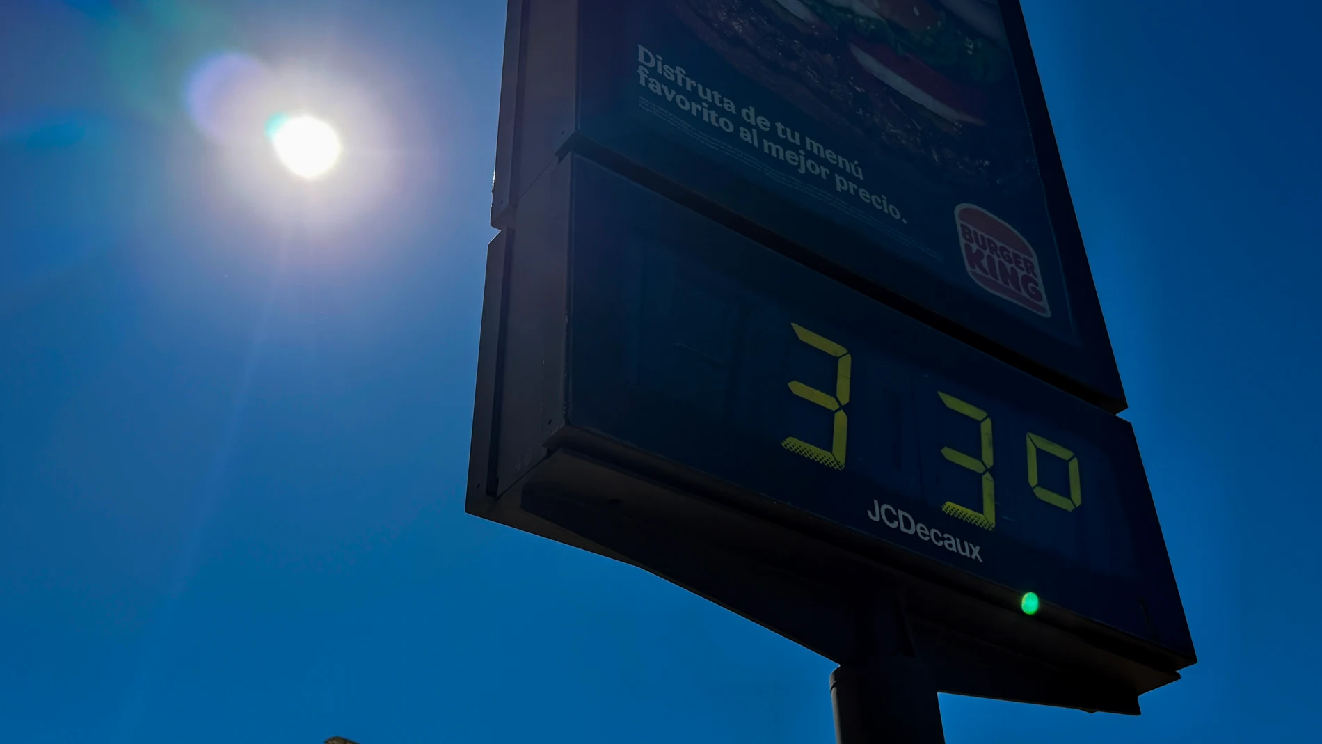
Spain will face Tuesday, September 1 with stable weather in much of the territoryalthough the distribution of clouds and temperatures will be very uneven. The Peninsula and the Balearic Islands will have slightly cloudy skies or high clouds, while Galicia, the Cantabrian Sea and several eastern areas will retain greater cloudiness. The day will leave clear contrasts between regions.
The heat will be intense in the southwest valleys, where temperatures may exceed 35 degrees. Ciudad Real, Córdoba, Seville and Toledo will reach 37 degrees, with maximums of 36 in Granada and Jaén. The minimum temperatures will remain high on the Mediterranean coast and Andalusia, with tropical nights in which the thermometer will not drop below 20. The nighttime atmosphere will continue to be demanding.
At the far end, A Coruña, Donostia/San Sebastián, Oviedo and Santander will remain at 24 degrees maximum, while Lugo will reach 25. There will be morning fog banks in the interior of the north and east, coastal mists in the Strait and Alborán and some haze in the southeast, Ceuta, Melilla and the Balearic Islands. Visibility will be more patchy at first.
Thermal distribution by capital
The AEMET prediction places the highest values in the southwest quadrant and in some points in the center. In addition to the 37 degrees in Ciudad Real, Córdoba, Seville and Toledo, Badajoz, Cáceres, Guadalajara and Madrid will move between 33 and 34. Zaragoza will reach 35 and Girona 34. The rebound is part of the episode of increased heat that the AEMET contemplates for the first days of the month. The rise will be more pronounced in the interior areas.
The maximums will drop in the south and east of the peninsulaalthough they will remain high in the interior capitals. Murcia will reach 34 degrees and Albacete at 33, Alicante and Almería at 31, and Barcelona will remain at 31. Palma will reach 34, while Las Palmas de Gran Canaria will have 28 and Santa Cruz de Tenerife, 30. The AEMET calculates that the minimum temperatures will rise slightly or remain unchanged on the Peninsula.
Clouds, mists and trade wind
In the north and east, the AEMET predicts cloudy skies for part of the day. Galicia and the Cantabrian Sea may register weak rainfallwhile the Alborán coastline and a good part of the eastern third will have light rains in the morning. In the southeast, storms are not ruled out, a risk that is also described in the southeastern storms of a recent prediction. The clearings will gain ground in the afternoon.
Showers or storms are also possible in southern Iberia and the Pyrenees. In the lower Ebro and the coast of the Valencian Community, drizzle could appear, with a tendency to clear during the afternoon. The AEMET predicts light haze in the southeast, Ceuta, Melilla and the Balearic Islands, while in Mallorca fog may form at dawn. Instability will be limited.
The wind will blow weak and variable in the interior of the peninsula, with moderate intervals on the coasts, the Ebro, the Balearic Islands and the northern plateau. In the Mediterranean and the Cantabrian the eastern component will predominate, and the southwestern quadrant will have westerly winds. The Canary Islands will be the exception: The trade wind will blow at strong intervals and will leave very strong gusts in the afternoon, especially in exposed areas. The AEMET places the main wind episode there.