
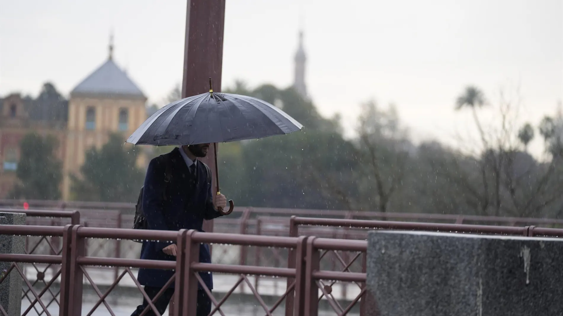
Spain will face Friday, August 28, with a very uneven distribution of cloudiness and rain. Galicia and part of the Cantabrian Sea will retain a more closed sky, while much of the interior will enjoy sunshine. The southeast will be the area with the highest risk of showers and lightning, although the episode will be irregular. The weather map will change a lot between regions.
In the northwest, early morning can be the most complicated stretch. Showers and storms could reach locally strong intensity in western Galicia before losing strength during the day. Asturias and León are also within the prediction, with the possibility of rainfall reaching nearby areas in isolation.
In the eastern Mediterranean areas, the Balearic Islands and Melilla, medium and high clouds will appear, with a tendency to open clearings. Occasional storms may be dry overall, but there is a chance they will reach local strength in places in the extreme southeast. In the rest of the Peninsula, slightly cloudy or clear weather is expected. The Canary Islands will maintain a different scenariowith weak and scattered clouds and precipitation north of the mountainous islands.
Rain, cloudiness and haze
The AEMET explains that stabilization in the Peninsula will advance when the low pressure system that has dominated the previous days recedes. Even so, the northwest and the Cantabrian Sea will retain cloudy or overcast skies. The pattern is reminiscent of other Atlantic storms, although this time the precipitation will be more concentrated. The front will lose activity as the hours go by.
According to the AEMET, the extreme southeast may register the most intense showers, sometimes with storms, while Galicia will have the highest risk at dawn. The agency also foresees morning fog banks in the northwest third and haze in the southeast, Melilla and the Balearic Islands. In other recent forecasts, rains and storms have had a similar distribution. The haze will limit the clarity of the sky in the areas where it appears.
Wind and thermometers by capitals
The maximums will rise in the western half, with locally notable rebounds in the extreme northwest. The eastern third and the Balearic Islands will lose degrees, with decreases that may be notable. AEMET places among the lowest minimums in the capitals the 7 degrees of Ávila, León and Salamanca, while Soria will mark 8. The distribution is reminiscent of a thermal decrease announced in another recent bulletin. The heat will continue next to the Mediterranean: Barcelona and Tarragona will reach 34 degrees, while Palma and València will reach 32.
As for the wind, it will blow from the west in the Peninsula and the Balearic Islands, with the south in Galicia and the Cantabrian Sea and the north in the southwest. It will be moderate in coastal areas and weak in the rest, although Galicia and Asturias could have strong intervals and very strong gusts. In the Canary Islands, the trade wind will dominate, with strong intervals and a greater risk of intense gusts in exposed areas. The episode joins other recent warnings of intense wind. The Canary Islands will concentrate the most demanding gusts.
The predicted values show marked differences: Córdoba, Granada and Seville will reach 32 degrees; Madrid will remain at 26; A Coruña, León and Lugo will not exceed 23, 21 and 21, respectively. On the Mediterranean coast, Alicante will reach 30, Murcia at 30 and Barcelona and Tarragona at 34. The minimums will not drop below 20 on the Mediterranean coasts or in the lower Ebro. The AEMET prediction leaves a Friday with regional contrasts, and The decisive detail will be where the storms gather.