
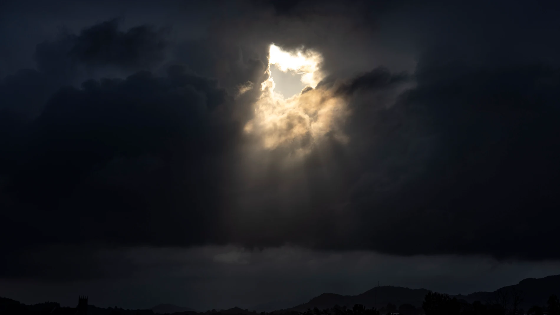
Spain is preparing for a significant change in weather caused by the arrival of a storm and several fronts that will have a strong impact on the north and west of the Peninsula. This scenario will leave locally intense rain, showers and thunderstormsin addition to a practically generalized decrease in maximum temperatures.
He northwest peninsula will concentrate most of the accumulated rains during the next few days. The AEMET places Galicia as the epicenter of this episode of instability, which will lose strength towards Friday as the Azores anticyclone gains ground over the peninsula. The scenario will be radically opposite in the center and east of the country. There the combination of strong wind and high temperatures will increase the risk of forest fires to “very high or extreme” levels.
Orange alert and strong winds this Wednesday
This Wednesday’s day stands out for abundant rains in Galiciawith special intensity in the west of A Coruña, where the orange warning responds to accumulations of up to 30 liters per square meter accompanied by storms and hail. The storm will also hit the Pyrenees of Navarre and Huesca with hailstorms and gusts of wind that will reach 80 km/h in the Arán Valley.
While temperatures remain low in the northwest, thermometers will rise in the Ebro valley, Guipúzcoa, Vizcaya and Navarra, potentially reaching temperatures 38 degrees in Granada, Almería and the center of the Ebro, added to the entry of Saharan dust into the Balearic Islands and the southeast.
Thermal drop in the interior for Thursday
During Thursday Precipitation will persist in the northwest and afternoon storms in the Pyrenees, and may spread more dispersed to the southwest and northeast coast. In the Balearic Islands the “rissagues” next to one haze weak.
Regarding temperatures, the interior of the peninsula will experience a notable decrease in the maximumalthough thermometers will continue to exceed 35 degrees in low areas of the southeast, pre-coastal areas of the Levant and Mallorca. The wind will occasionally blow very strong in mountain areas of the northern plateau and Cantabria.
The anticyclone gains ground on Friday
The panorama will begin to change from Friday thanks to the advance of high pressures, that the rains will subside in Galicia and the skies will clear in most of the country. Only weak showers will remain in the Cantabrian Sea and possible locally strong storms in the southeast of the peninsula.
The arrival of the anticyclone will not prevent, however, the entry of a colder air mass, favored by the displacement of the polar jet. This irruption will cause a drop in night temperatures in much of the interior of the peninsula, leaving an unusually cool environment for the end of August.
Minimums of 7 degrees in the interior and tropical nights in the Mediterranean
According to Meteored, the minimum temperatures could fall to 7 ºC in Ávila and León, while waiting for records of 8 ºC in Soria, Segovia, Burgos and Salamancaand values of 3 to 4 ºC at high levels of the Central System, where frost is not ruled out.
In contrast, the Mediterranean will maintain tropical nights above 25 ºC in cities like Barcelona, Valencia or Palma.
As the specialized portal advances, the irruption of polar air will leave a unusually cool atmosphere for the time insideenforcing the refrain of “August, cold in the face” with lows in the single digits in large areas of the northern half.
However, the episode will be temporary. The consolidation of high pressures for Saturday will allow temperatures to recover quickly, returning stability and usual values to the peninsular map.