
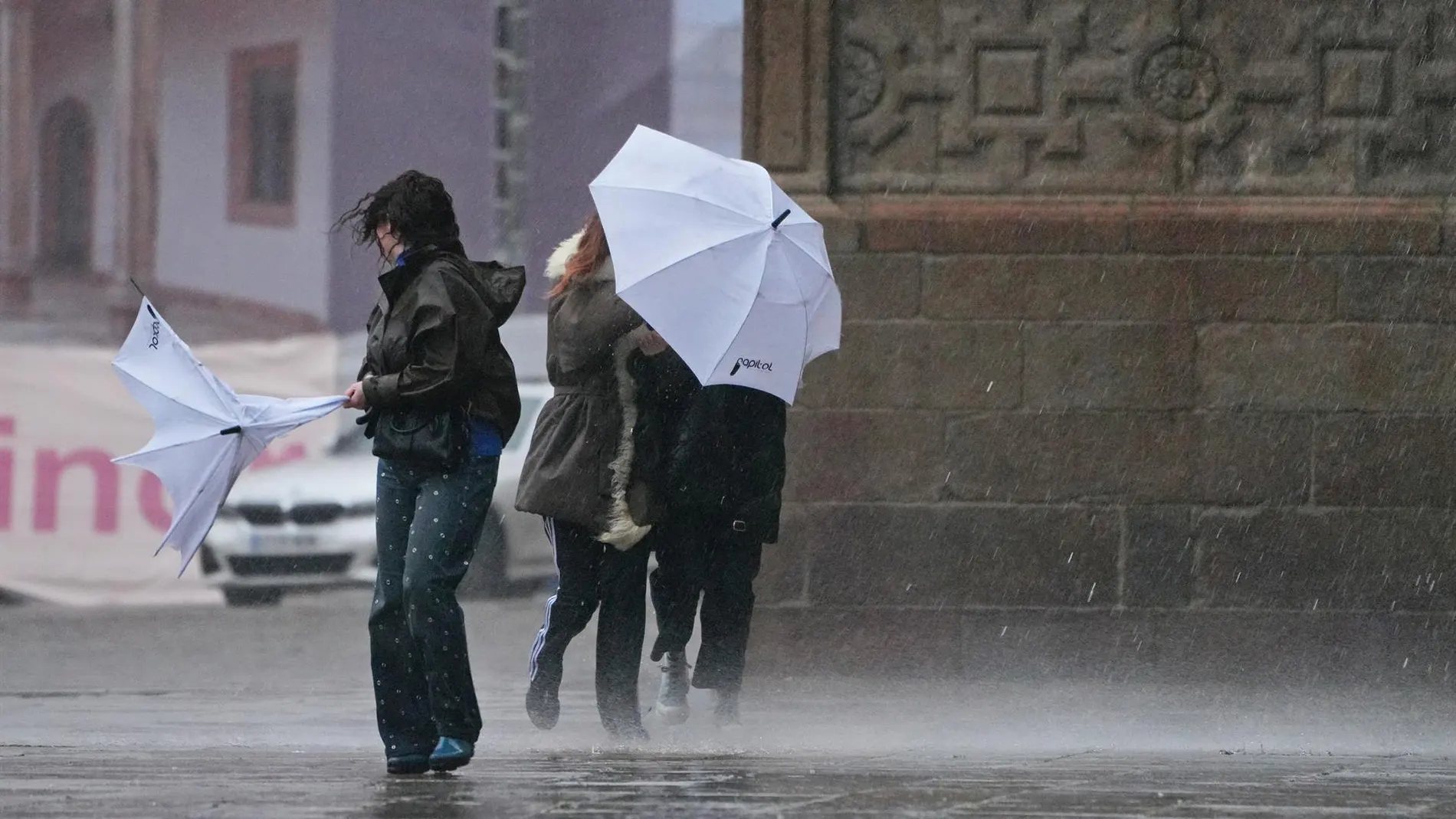
Thursday, August 27 It will leave a very uneven weather map in Spain. The arrival of Atlantic fronts will distribute rain across the northwest, while several areas in the east will maintain summer records.
The day will be conditioned by a low located around the British Isles. Their fronts will advance towards Galicia, Asturias, the west of Castilla y León and Extremadura, with increasingly overcast skies.
The contrast will also be noticed in the thermometers. The interior of the peninsula will lose degrees, although the Ebro valley, the Mediterranean pre-coastal areas and some parts of the Balearic Islands will continue above 35 degrees: the thermal contrast will be notable.
Where will the rain concentrate?
The State Meteorological Agency (AEMET) places the episode within an unstable situation associated with an Atlantic low. The fronts will leave rainfall in Galicia, Asturias, the west of Castilla y León and Extremadura, with cloud cover that may remain for much of the day. The scenario is related to the advance of another Atlantic storm described on August 21. The fronts will advance from the west.
The AEMET predicts locally strong showers or persistent and that may be accompanied by storms, especially in the southwest of Galicia. They could also extend to the rest of the Cantabrian Sea and the two Castiles. In the Pyrenees, the diurnal evolution can generate strong storms, a pattern similar to other storm and hail episodes.
The southeast, Melilla and the Balearic Islands have a lower probability of recording light showers during the afternoon. In the Canary Islands, the tail of a front will cover the northern area with clouds and could leave moderate rain on the mountainous islands. The prediction adds mists in elevated areas of the northwest and weak haze in the Balearic Islands.
Temperatures by capitals
The AEMET predicts a decrease in maximum temperatures in almost the entire Peninsula, with notable decreases in inland points. The movement will be different along the Mediterranean, where the values of the coastal and pre-coastal strips will rise. Lleida and Murcia will reach 37 degrees; Castelló de la Plana, Girona, València and Zaragoza will reach 35. The distribution of this thermal decrease will, therefore, be irregular, with more heat next to the Mediterranean.
Among the capitals, Madrid will have a minimum of 15 degrees and 24 maximum. Ávila will start at 10 and will not go above 21, while León will score 8 and 18. In Galicia, Lugo will stay at 11 and 16, Ourense at 13 and 21, and A Coruña at 16 and 22. At the warm end, Granada will reach 32, Alicante and Barcelona 32, and Jaén 28, within a more pronounced thermal relief in the interior.
The minimum temperatures will also drop in almost the entire Peninsula, except in the Guadalquivir Valley and Catalonia, where they may remain or rise. In the archipelagos they will continue without major changes, and in the Balearic Islands they will not drop below 20 degrees. The AEMET also points out that the southwest wind will be moderate in general, with strong intervals in northern mountains.
The most delicate wind source will be in Cantabria, where the southerly flow could leave very strong gusts. There is also a risk of similar searches in parts of Castilla y León. In the Alboran Sea and northern Galicia, the moderate west will dominate; The Canary Islands will have a north wind that will tend to the northeast. The prediction corresponds to Thursday, August 27 and can be updated with new newsletters.