
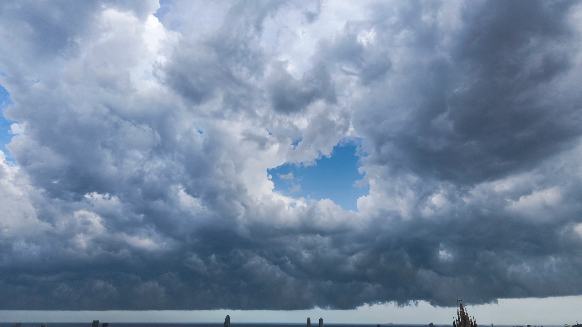
The forecast of the AEMET for Tuesday August 25 leaves two scenarios. High pressures will gain ground in much of the Peninsula and the Balearic Islands, but Asturias and the northeast of Galicia will continue to be under the influence of showers. The AEMET does not rule out that the rainfall will be locally heavy and accompanied by a storm.
The rest of the country will have a day with slightly cloudy and clear skies. In the western half, low clouds and mist will form early in the morning, while in the afternoon clouds will increase towards the northwest. In the Canary Islands, slightly cloudy or clear skies will predominate, according to AEMET data.
The difference between the north and the Mediterranean will also be noticeable in the thermometers. The maximums will drop in the Cantabrian Sea and Galicia, with a decrease that may be notable in the eastern Cantabrian Sea, while they will rise in the Balearic Islands, Andalusia and the Mediterranean coasts. The minimum temperatures will fall, especially in the eastern half of the peninsula, according to the AEMET.
The rains are concentrated in the northwest
The most active episode will be tight to Asturias and the northeast of Galicia. The AEMET predicts cloudy or very cloudy skies there, with weak or moderate and intermittent rain that may gain intensity. An August storm has marked the last few days; the rest of Spain will tend to stabilize.
Morning mists may also appear in Galicia, the southwest, the Strait and the northeast coasts. Visibility may be reduced early in the morning in mountain areas of the western half, where this phenomenon is not ruled out either. In the Alboran Sea there will be weak haze, while in the rest of the Peninsula the prominence will be for high clouds and clearings.
The wind will blow from the southwest in the Peninsula and the Balearic Islands, weak or moderate, with the possibility of strong intervals in the northern half. The gusts will lose strength in the late afternoon. On the Mediterranean coast and the Balearic Islands, winds from the south will enter from the central hours; in the Cantabrian it will be from the west and in Alborán a moderate west is expected. The trade wind will remain moderate in the Canary Islands.
The thermometer shoots up in the Mediterranean
The AEMET places the highest values in the pre-coastal areas of Valencia, the Segura plain and the Balearic Islands, where temperatures can exceed 35 degrees. Murcia will reach 37 degreesthe highest maximum among the capitals, followed by Girona and Granada, with 36. The contrast with the thermal decrease of previous days is added to what was stated in another notice.
Valencia will reach 35 degrees; Alicante, Albacete and Zaragoza will mark 34, and Barcelona, Palma, Córdoba, Lleida and Tarragona will remain at 33. The heat will be concentrated next to the Mediterranean and in points in the south, a distribution different from that of the heat wave episodes recorded this summer.
On the other hand, the capitals of the northwest will have much more contained maximums: León will reach 22 degrees, A Coruña, Lugo and Pontevedra at 23, Santander at 24 and Oviedo at 25. Bilbao will remain at 27. The decline will be visible in the Cantabrian stripwhile the minimum temperatures will drop in much of the country, far from the nighttime heat records of June.
The Canary Islands will hardly notice any changes: Las Palmas de Gran Canaria will have between 23 and 27 degrees and Santa Cruz de Tenerife, between 24 and 30. The prediction of the AEMET maintains a moderate trade wind in the archipelago and a slightly cloudy or clear sky, a situation far from the storms expected for the northwest of the peninsula.