
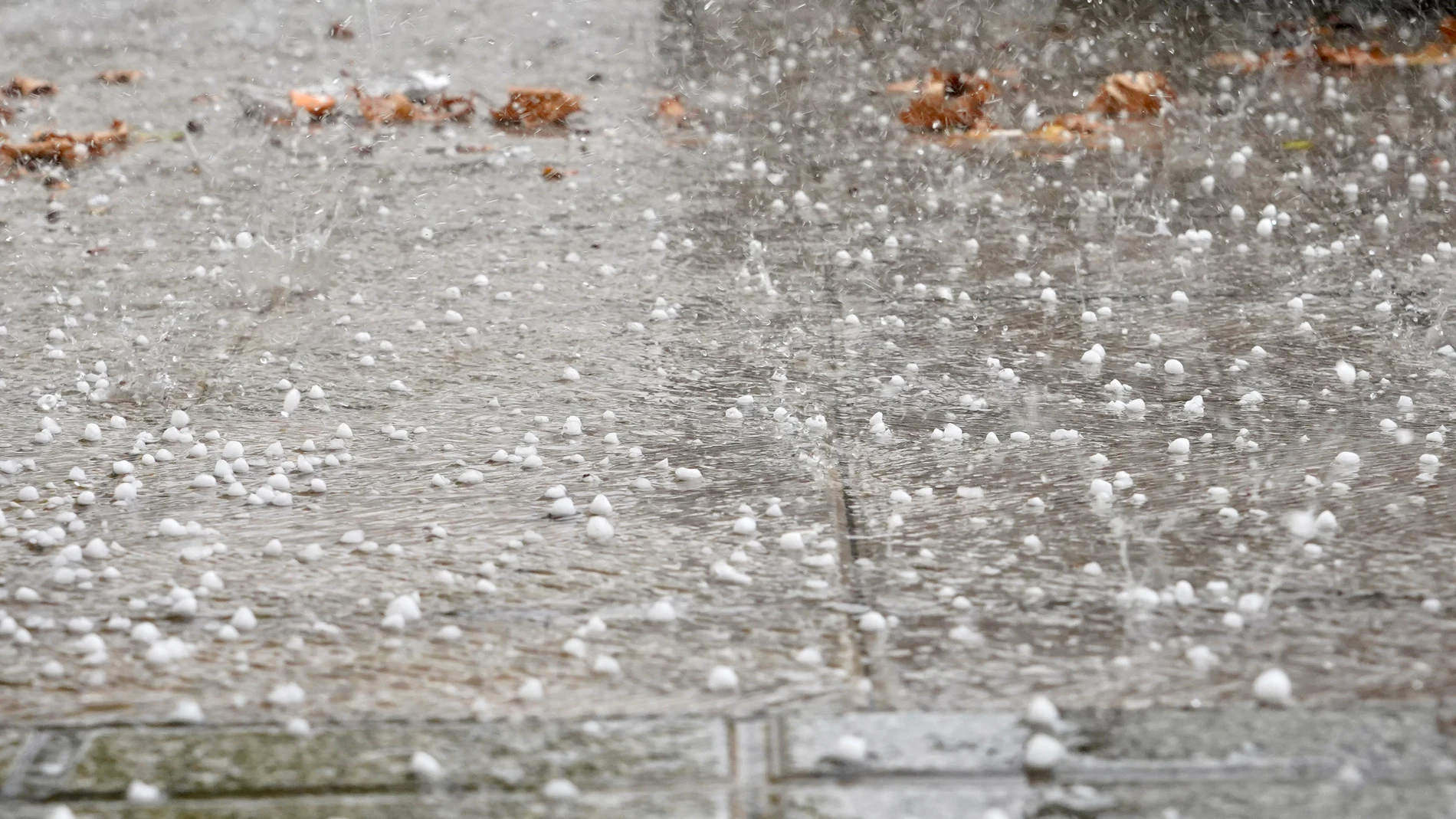
The weather will take a turn in much of the north and east of Spain during this Sunday August 23. The State Meteorological Agency (Aemet) predicts a day marked by the arrival of a front associated with a storm located to the west of the Peninsula, which will leave rain, intense storms, strong gusts of wind and risk of hail at different points.
The most adverse episodes are expected during the afternoon. He Iberian system, the Ebro valley, Navarra, the Basque Country, the Pyrenees and the east of Castilla-La Mancha There may be strong or very strong showers and storms, accompanied by very intense gusts of wind and hail that, occasionally, could be large.
The situation will begin earlier in the Mediterranean. During the early morning there is a probability of heavy showers on the coast of Tarragona and the Valencian Communitywhile in Murcia precipitation could also occur, although with less probability.
Strong storms in the afternoon and temperatures that will rise in the north
Galicia will be another of the communities where instability will have a special role. The Aemet expects cloudy or very cloudy skies and generally moderate rainfall on the Atlantic coast, which may also be accompanied by storms.
In the rest of the eastern third there will be intervals of medium and low clouds, while in a good part of the Peninsula and the Balearic Islands clear skies or with some high clouds will predominate. They may also appear morning mists in Galicia, interior areas of the Cantabrian Sea, the upper Ebro, the southeast and the Iberian system.
Temperatures will have an uneven evolution. The maximums will rise especially in the Cantabrian, the northern plateau, the northeast and the Balearic Islandswhile they will descend in Galicia and the southwest. The rise will be especially prominent in the eastern Cantabrian Sea and the upper Ebro.
The heat will continue to be intense in some areas. The interior of the Basque Country and the Guadalquivir valley may reach 34-35 degreeswhile 35 degrees are also expected in cities such as Zaragoza, Logroño, Palma, Ciudad Real and Toledo.
These are the temperatures expected in the capitals
Among the highest maxims are the 35 degrees from Zaragoza, Logroño, Palma, Ciudad Real and Toledo. Madrid will reach 33, while Pamplona will reach 34 and Bilbao will remain at 33 degrees.
In Andalusia, Córdoba and Jaén they will reach 34 degrees, while Granada will reach 34. Seville will have a maximum of 31 degrees and Malaga 29.
In the north, Bilbao will reach 33 degrees and Oviedo 27while Santander will remain at 26. A Coruña will have a maximum of 25 degrees and Pontevedra 24.
In the east, Valencia and Tarragona will reach 30 degrees, Alicante 32 and Murcia 34. Barcelona will have a maximum of 30 degrees.
The wind will blow mainly from the south, weak or moderate, in much of the Peninsula. In the eastern third, the Balearic Islands, the Ebro valley and the Cantabrian coast, easterly winds will predominate.