
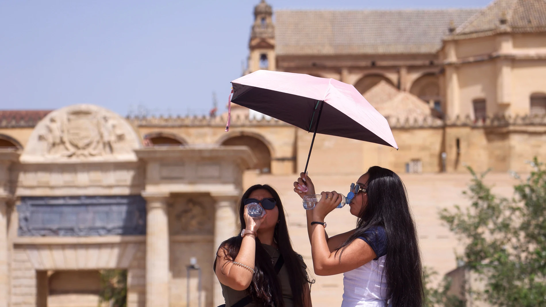
The approach of a new heat wave this Sunday will draw Spain divided into two thermal halves. According to the AEMET prediction for July 19, 2026, a period that covers Galicia, the Cantabrian Sea and the upper Ebro It will be left out of the severe heat, with maximum values that will range between 26 degrees in Oviedo and Santander and 30 in Bilbao.
At the end oppositethe interiors of Andalusia and the Region of Murcia will once again be around or touch 40 degrees, in a day that will serve as a prologue to a heat wave that promises to worsen in the following days. The gap between both scenarios will exceed ten degrees in many cases.
The south and the Mediterranean, trapped between the daytime oven and the tropical nights
The AEMET warning leaves no room for doubt: temperatures will remain the same “significantly elevated” in most of the peninsular territory and in the Balearic Islands. The 35 degree barrier will be easily overcome in all communities, except in the northwest quadrant and the Cantabrian coast.
In the Guadalquivir valley and in the depressions of the southeast, the mercury will rise to extreme values: Córdoba and Granada will have a maximum of 40 degrees, Murcia will remain at 39, Jaén at 39 and Seville at 38. The Balearic Islands will not be spared from the suffocation either, where locally it could reach 40 degrees in Mallorca, while in points in the northeast of the peninsula such as Lleida or Zaragoza 38 are expected.
The punishment will not be limited to the central hours of the day. The minimums will experience few changes and will once again leave tropical nights (above 20 degrees) in large areas of the southeast half and the Balearic Islandss. In areas of the Mediterranean coast and the Guadalquivir, thermometers will not drop below 25 degrees, which will make it difficult to rest and will maintain the feeling of sultry during the early morning hours.
The hazepresent in the southeast half of the peninsula and in the Balearic archipelago, will add extra environmental discomfort and could leave some mud rain in the extreme southeast.
Storms with hail in the southeastern interior and humid relief in the Cantabrian Sea
While the south burns under slightly cloudy skies or with intervals of high clouds, the extreme north will experience a reality very different. In the north of Galicia and throughout the Cantabrian area, cloudy or directly covered skies will predominate, with the probability of weak and scattered rainfall, and some fog banks that will keep the atmosphere cool. The maximum temperatures in A Coruña will be around 27 degrees, in Pontevedra and Lugo 28, and in Ourense the 35, The latter being the exception in a community that will breathe a sigh of relief.
At the other extreme, atmospheric instability will be felt strongly in the eastern third of the peninsula. starting in the afternoon.
The AEMET foresees the formation of evolving cloudiness with showers and storms that could be locally strong, accompanied by very intense gusts of wind and hail. The areas most exposed to these stormy episodes will be the interior of Murcia, the south of the Valencian Community, the southeast of Castilla-La Mancha and the north of Catalonia.
The wind, meanwhile, will blow with intensity in Canary Islands (trade wind with strong intervals) and in the Gulf of Cádiz and the Strait, with a moderate west, while in the rest of the country it will be weak, with the western component predominating except on the eastern façade. The day, in short, will leave a Spain divided between the umbrella and the fan.