
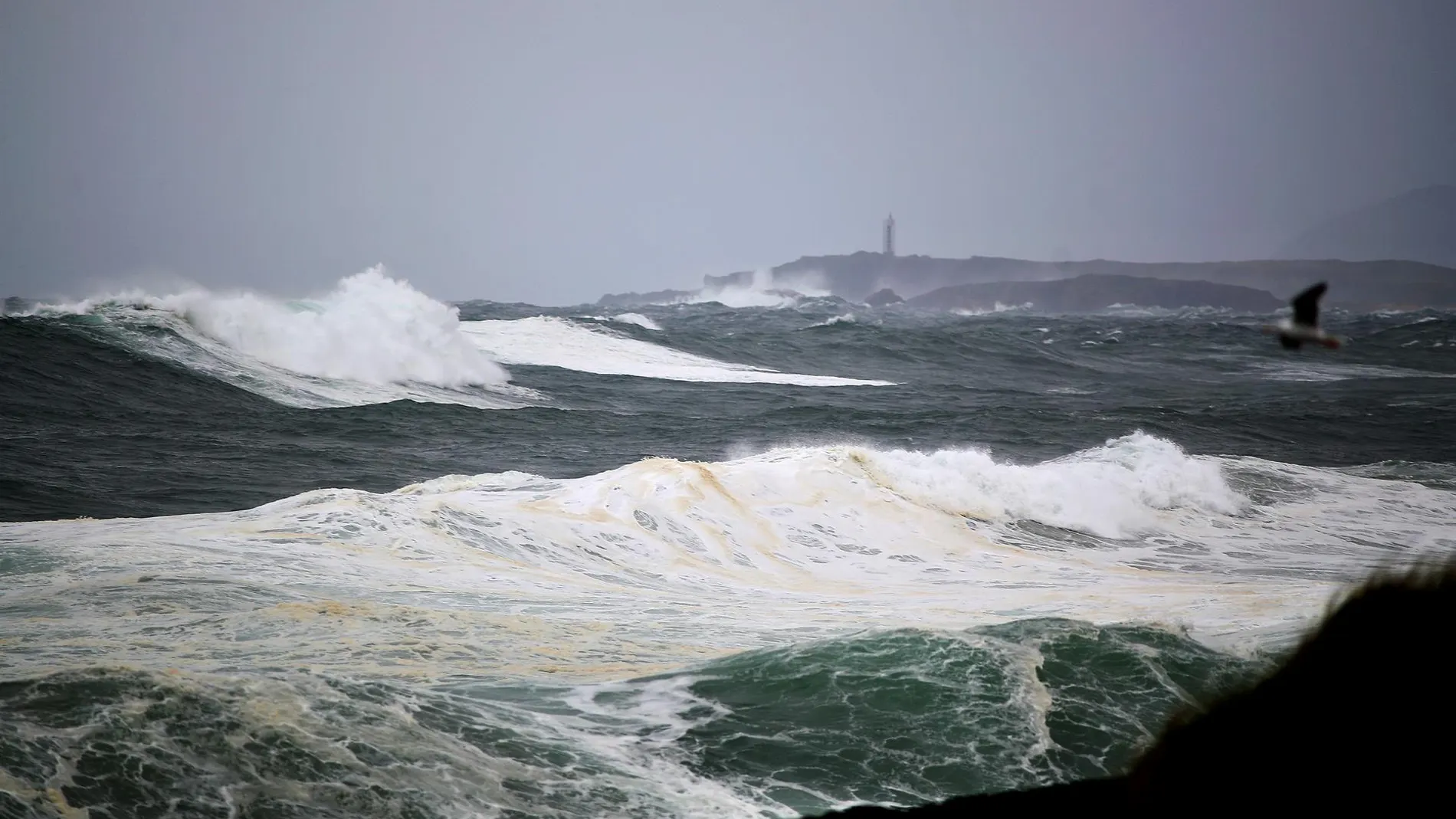
The State Meteorological Agency predicts that Sunday, May 24, will not bring a truce for the north of the peninsula. The DANA, which has been punishing the northwest quadrant on Friday and Saturday, will continue to be anchored to the west of Galicia, and its influence will be felt from the early morning.
The showers that wait During the first hours of the day they could individually prolong Saturday’s storms in the south of the Galician community and in the west of the northern plateau. However, the bulk of the instability will arrive in the afternoon, when the daytime heat generates abundant evolutionary cloudiness and showers and storms are organized “accompanied by very strong gusts of wind in the northwest quadrant and, more isolated, in other points of the center, the Iberian system and the Pyrenees”.
The afternoon storms will be especially intense in the interior of Galicia, where “they could leave abundant hail“, a phenomenon that is not ruled out either on the Galician coast, the northwest of Castilla y León or the Cantabrian mountain range. AEMET It maintains active warnings for strong storms and hail throughout the northwestern part of the country, and warns that the wind gusts associated with these convective cells could be very strong in the affected areas.
The heat is hot in the southwest, the Ebro valley and the eastern Canary Islands
While the north deals with water and hail, the south and the archipelagos will experience a fully summer day. High pressures will continue dominating the rest of the country, with clear skies in the Balearic Islands and the Canary Islands and little cloudiness or intervals of high clouds in the Peninsula. The temperatures, which “they will continue at high values for the time”will once again exceed 34 or 36 degrees “in large areas of the southwest quadrant, the valley of the Ebro and the Canary Islandss oriental”, maintaining the trend already present during Saturday.
In the Canary archipelago, the maximum will ascend notably in the easternmost islands, while on the Peninsula they will rise in the northwest quadrant, the Basque Country and the precoastal mountain ranges of Catalonia. The minimum ones too will rebound in the southern plateau and Andalusia.
The haze It will persist in the west of the peninsula and in the Canary Islands, mainly affecting the eastern islands, and morning mists are expected on the coasts of the Cantabrian Sea, Galicia and the northern Mediterranean, as well as around the upper Ebro.
Very strong gusts in the Strait and easterly winds in the Peninsula
The chapter of winds will require attention at several points. The eastern and southern component will predominate in the Peninsula, with intensity moderate on the coasts of Galicia and the south, as well as in the interior of Málaga and Cádiz. Very strong gusts of wind are expected around the Strait, so the AEMET recommends caution in navigation and coastal activities in the area.
In the rest of the country, the wind will be lazy in general. In the archipelagos, it will blow from the north, weak in the Balearic Islands and moderate in the Canary Islands.
Sunday is, therefore, emerging as a day of contrasts: umbrella and jacket in the northwest, and fan and shade in the rest of the country.