
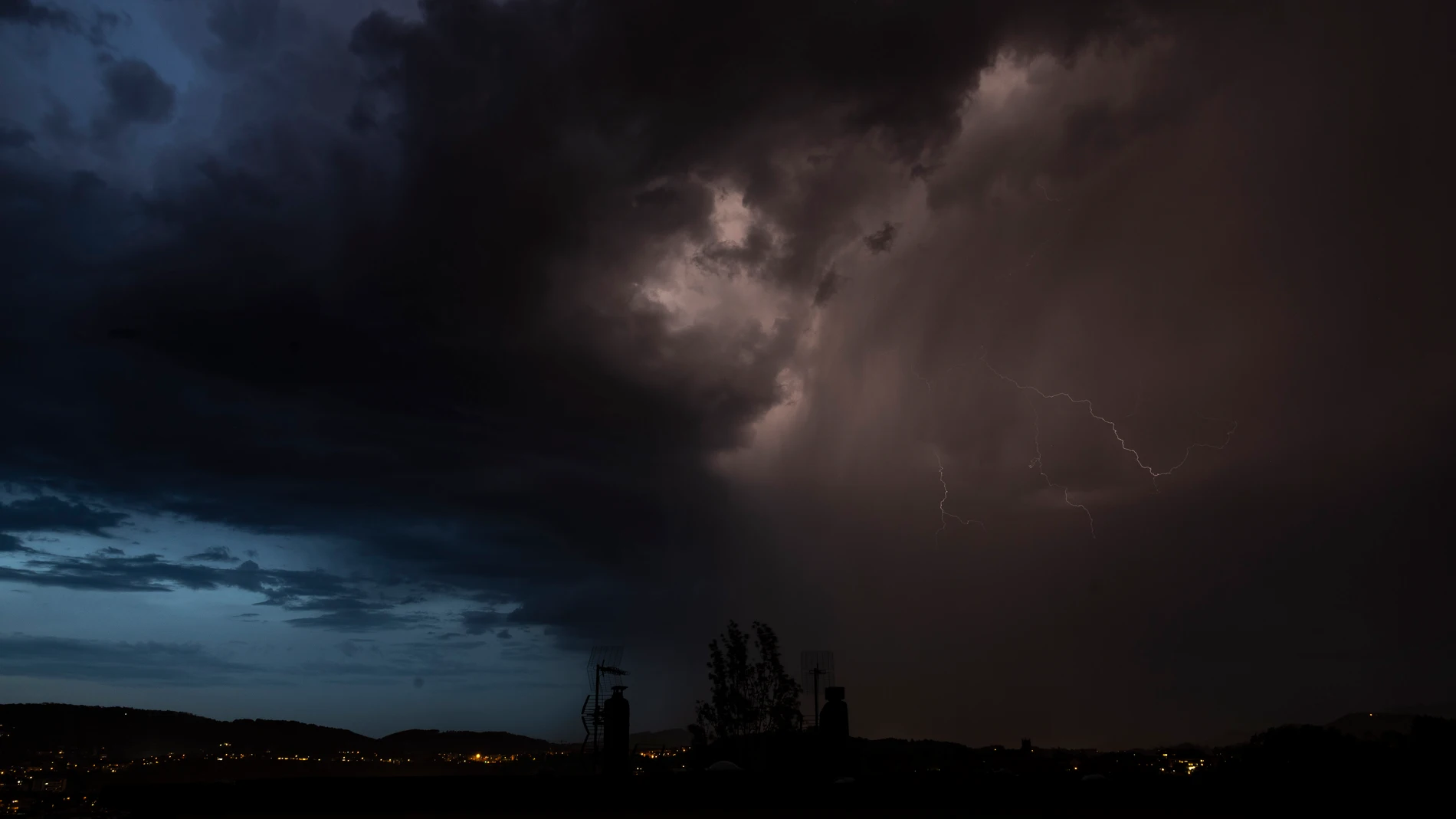
Spain is preparing for a closing of the month marked by atmospheric instability. The passage of a trough will cause a general increase in the probability of showers and thunderstormsespecially in the center, the southeast and the interior of the northern peninsula. This episode of instability will be accompanied by hail and intense gusts of wind in various communities.
“We have a few days ahead of us with a more unstable atmosphere, which will translate into the possibility of showers accompanied by storms on the peninsula, especially this Friday and Saturday, although they will also occur in some places on Sunday,” he says. Ruben del Campospokesperson for the State Meteorological Agency (AEMET).
Six communities on yellow notice this Friday
The most intense activity begins to be noticed this Friday. Six autonomous communities –Andalusia, Cantabria, both Castiles, Community of Madrid and La Rioja– The yellow warning is activated due to strong storms or rain with accumulations of up to 15 liters in one hour.
Meteorological activity will be especially intense in Castile and Leónwhich keeps all its provinces on alert due to storms accompanied by hail and very strong gusts of wind. In Andalusiathe notices are concentrated mainly in the provinces of Almeria, Granada and Malagawhile in the Community of Madrid The alert affects both the Sierra and the metropolitan area, the Henares Corridor and the south of the region.
For its part, in Cantabria and Rioja The danger is concentrated in the areas of Cantabria del Ebro and Iberian Rioja. Finally, in Castile-La Mancha There are warnings for rain and storms in Ciudad Real, Guadalajara and Toledo. The AEMET specifies that the notices in all communities will be active in a time slot between 16:00 and 22:00 peninsular time.
Despite the rain, the atmosphere will continue to be warm for the season. This Friday temperatures will drop noticeably in the interior and southeast, but will remain high in the north, with maximums of 27°C in Ourense or Lleida. In contrast, Santander will barely exceed 18°C.
Thermal ups and downs: from soda to 30 degree heat
Looking ahead to Saturday, instability will continue, and storms will form again, although more dispersed and, in general, less intense than on Friday, reports Servimedia. The areas with the highest probability will be east and south of Andalusiaas well as the environments of the Central and Iberian systems and the Pyreneeswithout ruling out that some storms may occur in parts of the plateau, Extremadura or central Andalusia.
Temperatures will not experience major changes or will rise slightly. They will be high for the season in the north, with 28 degrees in Ourense, Zaragoza or Lleidaand more typical of the time in the southern half, with 26 degrees in Seville.
On Sunday and Monday stability will gain ground. although without ruling out that showers with storms may occur in areas of Castilla y León, the Cantabrian Mountains, the Pyrenees, the Central System and points in the southeast. “Some of these showers, as in previous days, can be strong,” warns Del Campo.
Temperatures will drop on Sunday during the early hours, but will rise during the day on both days. “We will talk again about a warm atmosphere for the time of year, especially on Monday, when thermometers will reach values between 5 and 10 degrees above normal for these dates. In the valleys of Ebro, Guadiana and Guadalquivir can be achieved or exceeded 30 degrees“, he advances.
Forecast for next week
On Tuesday and Wednesday, scattered showers may appear over large areas of the peninsula, being more intense and frequent on Wednesday, especially in areas of the eastern peninsula. In addition, on Wednesday a pronounced thermal drop throughout the countrywhich would return the thermometers to values typical of the end of April.