
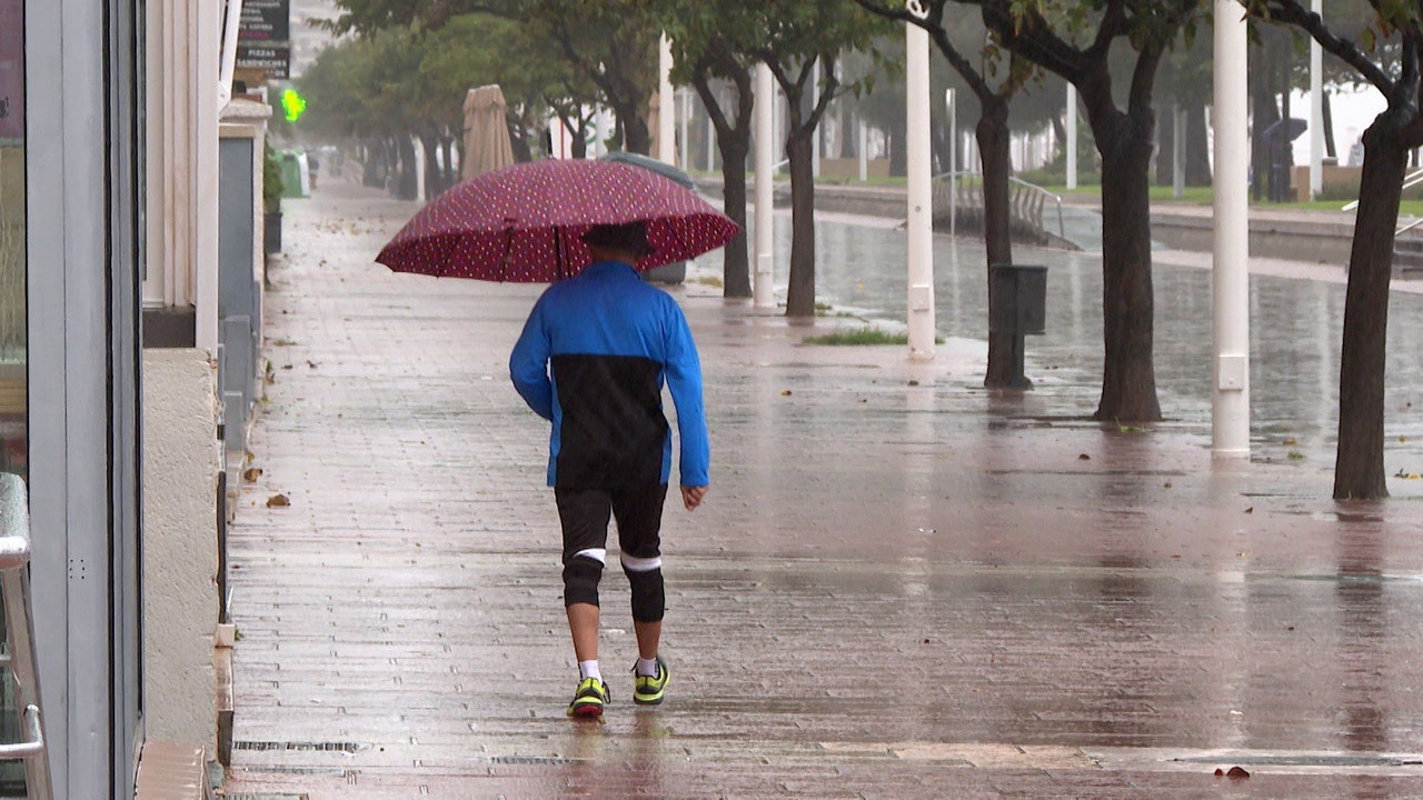
February says goodbye with a increased instability just before the start of the meteorological spring, which starts this Sunday, March 1. The weekend arrives with rains in the northwest peninsular and a gradual decrease in temperatures Maximum temperatures in the interior, which will be between 14 and 17ºC heading into Sunday, according to eltiempo.es. In addition, the formation of a dana on Monday and Tuesday which will mainly affect Andalusia.
For its part, the State Meteorological Agency (AEMET) points out that this Friday will be a more unstable day, with a dnotable drop in temperatures up to 6 degrees in the northwest peninsulary a dana in the Canary Islands that will leave possible mud rains and very strong gusts of wind of up to 100 kilometers/hour.
Wind, waves and haze will activate warnings in Canary Islands, Cádiz and Mallorcaon a day in which vSeveral islands will reach the orange level due to the wind. Specifically, Gran Canaria, Lanzarote, Fuerteventura, La Palma, La Gomera, El Hierro and Tenerife are under warning due to wind, waves and suspended dust. In the case of Gran Canaria, La Palma, La Gomera, El Hierro and Tenerife, the wind warning is orange. In addition, Mallorca is at risk due to fog.
The AEMET has reported that a front will affect the northwest third of the peninsula this Friday, with cloudy skies and rainfall in the Cantabrian Sea and Galicia. During the morning, the rains will generally be of low intensity and the front will move inland, progressively weakening. In the rest of the Peninsula, generally slightly cloudy skies will predominate, with low morning cloudiness and fog banks in the northern half of the Mediterranean coast and the Balearic Islands, where they will be more extensive and persistent.
Showers on the weekend and thermal drop
Looking ahead to Saturday, eltiempo.es anticipates that the front could reactivate at dawn, leaving rainfall in areas of Castilla-La Mancha and Aragon. In the afternoon, new showers in the east of the peninsula, where some storms are not ruled out, especially in Castilla-La Mancha, Aragon and Catalonia. Precipitation may also be recorded in areas of eastern Andalusia and interior of Murcia and the Valencian Community. . In the early hours of Sunday, instability will continue in the northeast and, starting at noon, evolving cloudiness will grow in areas of the south and east, with generally weak showers.
Regarding temperatures, eltiempo.es has indicated that the maximum temperatures will progressively drop in the interior of the country during these days and will remain below 14 to 17ºC heading into Sunday. However, the south wind will favor a new rise in the north, where values of between 15 and 20 ºC can be reached. Frost will return to inland areas, especially in the early hours of Saturday, with greater probability in large areas of Castilla y León, especially in the most northwestern side.
A new damage could affect Andalusia
The meteorological portal indicates that a trough will descend in the west of the peninsula. In this process, it would be isolated and formed a dana between Monday and Tuesday. Although uncertainty is still high, everything indicates that on Monday there will be showers and storms in large areas of the west, which will extend inland and some points in the east throughout the day. After this, the dana would move south, towards Africa, so instability would be restricted to areas of the southern peninsula. In this scenario, eltiempo.es points out that Andalusia could be the most affected autonomous communityalthough showers would also continue to occur in other areas, more dispersed and less persistent.