
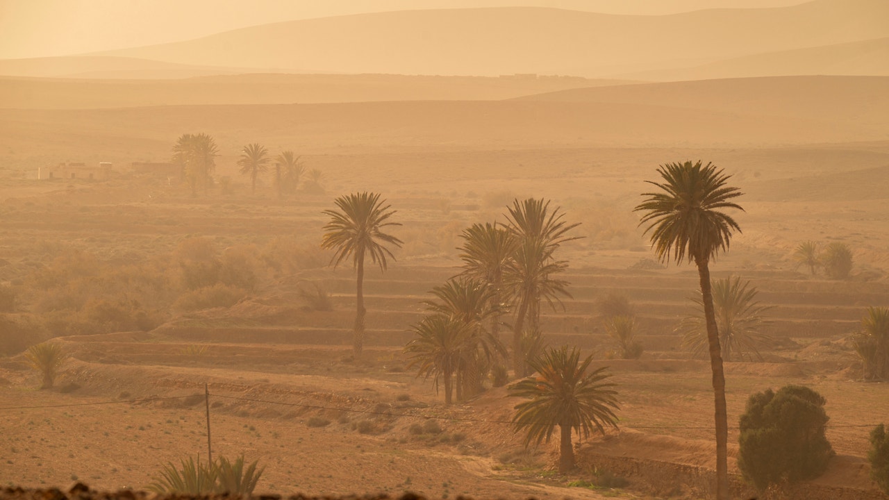
The anticyclone on the surface and the ridge in the middle and upper layers will mark the time in Spain during the next few days, configuring a panorama marked by stability and temperatures more typical of spring than the end of winter, according to eltiempo.es. This Tuesday only some weak rainfall could reach areas of western Galicia, while in the rest of the peninsula, as well as in the Canary Islands, the most notable thing will be the haze.
In Canary Islands The haze will be dense, with warnings issued by reduced visibility. The situation will tend to improve in the eastern area during the afternoon. The intrusion of air laden with Saharan dust will increase throughout Tuesday. According to tiempo.es, The haze will spread across large areas of the countrybeing more notable in the west and in the center of the peninsula. On Wednesday it will continue to be present and could even intensify at certain points.
As reported by eltiempo.es, the reason for this haze advection will be found in the approach of a cold front at the end of the dayassociated with a trough that will fall and form a DANA on Wednesdaybut without clearly affecting us. This front will leave rain on Wednesday in areas of Asturias and Castilla y León and again in Galicia. Weak and isolated showers cannot be ruled out in Extremadura and western Andalusiawhich could be mud due to mixing with the dust in suspension.
On Thursday, the DANA It will move quickly south. According to eltiempo.es, this will prevent significant instability from being generated in the peninsula, although it will favor rains and greater instability in the Canary archipelago.. Looking ahead to Friday, a new front could approach with somewhat more significant rainfall, but stability will continue to be the dominant trend in most of the territory.
Spring temperatures through Thursday
Regarding temperatures, eltiempo.es emphasizes that They will remain high for the season in almost the entire country until Thursday included. In the south of the peninsula, between Tuesday and Wednesday, the maximum temperatures will range between 22 ºC and 24 ºC, while in inland areas they will be around 20 ºC. In the north, values will be between 18ºC and 20ºC until Wednesday, a day in which there will be a decrease in the west before a subsequent recovery. Mild daytime values will also continue in the Mediterranean, with records close to 20 ºC in many areas. In Murcia they will easily overcome it, being able to reach a maximum of 26ºC.
On Thursday, a slight temperature drop is expected in the north, while in the south and in the interior the thermometers will rise again, approaching the 25 ºC in Seville and 22 ºC in Albacete and Teruel. The lows, for their part, will rise and will generally be milder, but still cool in the morning. Although in the interior they will still drop below 10 ºC, the frosts will be restricted to mountain areas, especially between Tuesday and Wednesday.