
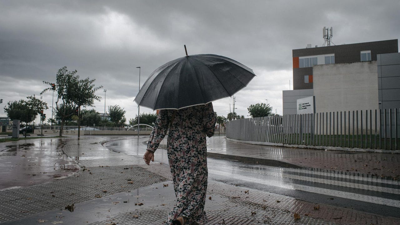
He South interior of Valencia is this Thursday in Orange storm alert that can be accompanied by Large hail, according to the forecasts of the State Meteorology Agency (Aemet). Heavy rains are expected throughout the Valencian Communitywith accumulations of up to 30 liters per square meter in an hour.
Besides, OTHER EIGHT AUTONOMOUS COMMUNITIES ARE UNDER NOTICE, although yellowfor these inclement weather: Andalusia, Aragon, both Castillas, Cataluña, Madrid and Murcia and Galiciathe latter just for rains.
The rains will be especially intense in the southern interior of Valencia, where up to 30 liters per square meter will accumulate in an hour. It will rain strongly in the Valencian Community with accumulations in large areas of up to 20 liters per square meter in an hour. Those amounts will also be collected in other Mediterranean areas such as the Coast of Barcelona and Northern Coast of Tarragona, in Catalonia.
Other regions affected by significant rainfall are Murcia and the Community of Madridwhere up to 15 liters per square meter could be collected in an hour. Similar amounts of precipitation will be collected in points of the interior of Galicia, in Gúdar and Maestrazgo (Teruel), in the Valle del Almanzora and Los Vélez (Almería), in Castilla-La Mancha in the province of Cuenca, La Alcarria (Guadalajara) or areas of Albacete. Also in Castilla y León in the province of Zamora, near Portugal.
The unstable time will continue on Friday, with the possibility of showers in most of the Peninsula and the Balearic Islands, especially in the center and north, where they can be locally intense and accompanied by hail. In the Balearic Islands, strong rains are also expected, while in the Canary Islands, rainfall will be concentrated in the mountainous islands. In Andalusia, however, rains are hardly expected.
Temperatures will rise in much of the territory. The 22 degrees will be exceeded in the Ebro Valley and other areas of the Peninsular Center, and the 25 degrees in the south of the Valencian Community, Murcia and the Guadalquivir Valley.
On Saturday the thermal ascent will continue until reaching temperatures of this time of the year. The increase will be remarkable in the Cantabrian For the influence of the winds of the south and the environment in that area it may even be hot, because Bilbao and San Sebastián could be around 25 degrees. This value will also be reached in the Ebro Valley, areas of the Southeast and Guadalquivir.
Precipitation will return on Saturday afternoon, with showers and storms in much of the country, less likely on the Mediterranean facade. In the northern half they could be intense and hail. In the Canary Islands, it will rain in the north of the most mountainous islands.
He Sunday The unstable time will continue, with Chubascos again in much of the Peninsula, without ruling them out in the Balearic Islands. In addition, temperatures will lower. Next week could start with precipitations limited to the north end and mountain areas, along with an ascent of temperatures.