
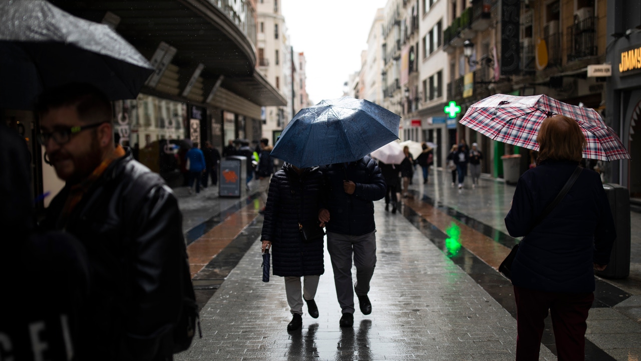
The powerful ivo storm that Spain has swept these days will move away during the next few hours. However, instability will persist in some areas due to the proximity of a new area of low pressures that advances from the peninsular north. In addition, the arrival of a small Dana to the Mediterraneantogether with a Front that will affect Galiciawill prolong the rains throughout the weekend.
Rubén del Campo, spokesman for the State Meteorology Agency (Aemet), advances that the anticyclonic time will gain prominence and the rains will be restricted to the Balearic Islands and to the peninsular north end, while the wind will calm down in most of the territory, except except In the Peninsular Northeast. Temperatures will be cold during the early morning and the early hours of the morning, with frosts in large part of the peninsular interior, especially intense in mountain areas. However, from the signal field that this situation is relatively normal for the time and It cannot be described as a cold wave.
On Friday, rainfall and snowfall will continue at the north, although they will decrease. In Balearic Islands, however, the rains may be intense, and showers are not ruled out on the Mediterranean coast. The winds will continue to blow strongly in the northeast peninsular, especially in the depression of the Ebro and in the Balearic Islands, with Rachas de Cierzo and Tramontana. Frosts will continue to affect the north and east of the country, with temperatures that can lower -3 ° C in cities such as León and Teruel.
Where will it rain this weekend
During the weekend, it will rain in Galicia and the Cantabrian, and the showers will persist in the Balearic Islands, which can be locally strong. Precipitation is not ruled out at the northeastern end of Catalonia and the western third of Castilla y León.
For its part, Eltiempo.es indicates that On Saturday a small Dana will be formed that could arrive by the Northeast and reach the Balearic Islands. This new Dana will leave showers and storms in the archipelago, as well as on the coasts of Catalonia and Valencian Community. Sunday could also register specific rainfall in the Canary Islands.
Night temperatures will rise slightly in the west and remain stable in the rest, with frost in the center and this peninsular. Cities such as Burgos, Soria, Cuenca or Teruel can register temperatures between -3 and -4 ° C, while Madrid will be around 0 ° C in its center. During the day, 10 ° C will be exceeded in much of the Peninsula, reaching between 17 and 19 ° C on the Mediterranean coasts.
Time forecast for next week
Next week it will begin with stable time and frost in the north and this peninsular, although the daytime temperatures will recover slightly. On Monday there will barely rainfall, except in southern Andalusia, Ceuta and Melilla.
On Tuesday and Wednesday, a front will touch the north end, leaving rains in Galicia and Cantabrian communities. In the rest of the country, clear skies and night temperatures will predominate can descend to -4 ° C on the north and interior plateau of the east peninsular. During the day, temperatures will exceed 10 and 12 ° C, reaching 18 ° C on the Mediterranean coast.