
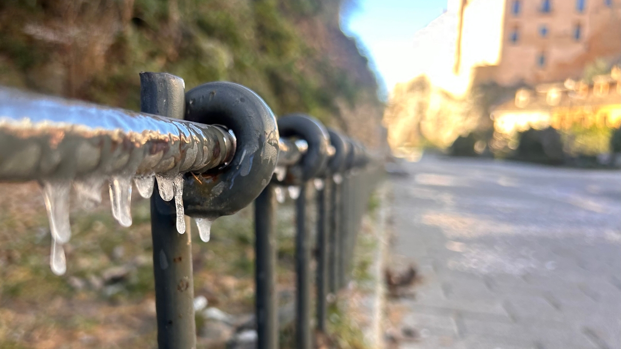
The next few days will be marked by the arrival of a very dry and cold air mass from northern Europe. This phenomenon, driven by an anticyclone located in the north of France and a storm in the south of Italy, will bring with it a notable drop in temperatures throughout the country, especially in the interior of the peninsula. Rubén del Campo, spokesperson for the State Meteorological Agency (AEMET), has warned that “the early hours of Tuesday will be even colder than this Monday,” probably becoming the coldest winter so far. Minimum temperatures They could drop to 8 degrees below zero in areas of the northern plateau and central moors.
In the central hours of the day the feeling will not be so cold because the sun will shine and there will not be too much wind. Regarding rain, Del Campo has pointed out that this type of air masses that come from the interior of the continent tend to be dry, so in general terms Precipitation will be scarce and is only expected in parts of the Balearic Islands and the Mediterranean area, with greater probability at the end of the week due to the possible approach of an area of low pressure from the east.
This Monday the thermal decline will continue, with frosts that have affected a good part of the interior of the country. The minimum temperatures will drop to 4 and 6 degrees below zero in Teruel, Lleida, Huesca, Cuenca, Ávila and Albacete among other provincial capitals. During the day, thermometers will rise to 17-16 degrees in Almería, Cádiz and Huelva. The wind will blow strongly in the east of the peninsula and in the Balearic Islands, although with a tendency to subside. At the same time, also It is possible that there will be some showers in the Balearic archipelago and in isolated points in southern Andalusia.
The coldest day of the week
Tuesday morning will be even colder. Del Campo has advanced that there will be frost in most of the interior of the peninsula. On the northern plateau and central moors It can be lowered to -6 or -8ºC. Even in coastal areas of the Mediterranean, in ccities such as Tarragona, Castelló or Valencia, will drop below 2ºC. The skies will generally be slightly cloudy and this will help temperatures rise in the central hours of the day, although in much of the northern half they will remain below 10ºC. During this day, the forecast does not call for rain except in Melilla.
Although temperatures will rise somewhat on Wednesday, frost will continue in large areas of the interior. On the northern plateau, the minimum temperature will be around -5ºC, as well as in the central moors. Meanwhile, in areas near the coast and in the interior of Mallorca there will be milder frosts. The AEMET spokesperson has indicated that The atmosphere will also be warmer than the previous day in the early afternoon, although still below 10ºC in areas of the northern half.
Earrings from a DANA in the Mediterranean
The situation will be similar on Thursday. There will be widespread frosts, perhaps somewhat less intense than in previous days. During this day, instability will increase due to the arrival of DANA from the Mediterranean, but in this case without serious consequences. In isolated parts of the Mediterranean there could be stormy showers, as well as in the Balearic Islands. Looking ahead to the final days of the week, Del Campo has indicated that Mediterranean rainfall could extend a little further towards inland areas of the extreme eastern peninsula on Friday. In fact, there are even chances of them registering snowfall in mountains in that sector.
The DANA It will move away during the weekend and stable weather will prevail in most of the country, with temperatures that will drop somewhat on Friday and rise during Saturday and Sunday. In any case, the frosts will continue in much of the interior of the peninsula and It will drop below -4ºC in points of the northern plateau.