
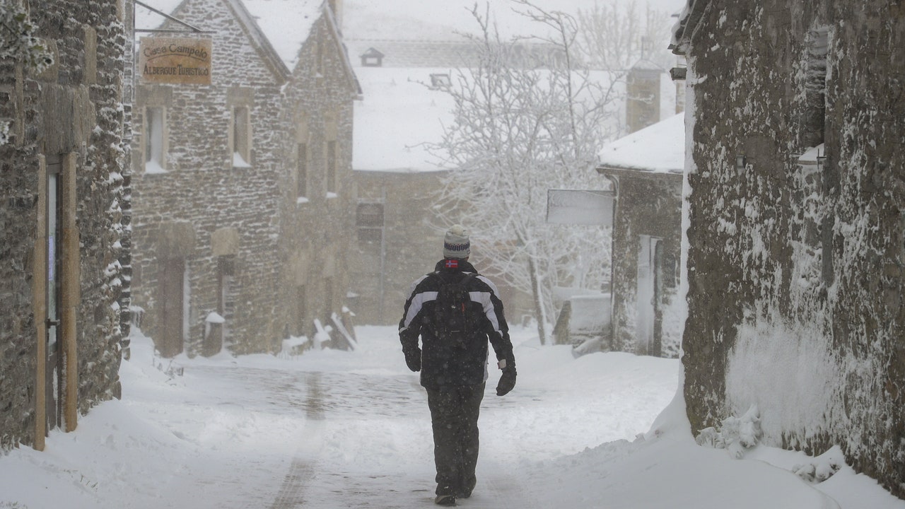
Time change in Spain. A front, which will enter Galicia this Wednesday, It will cross the peninsula on Thursday, leaving rainfall in much of the territory. The rains will be more abundant in the Cantabrian communities and the Pyrenees, while the Mediterranean area and the Balearic Islands will be left out of the rainfall, according to the forecast of the State Meteorological Agency (AEMET). As for the snow, the level, which will initially be very high, will decrease as the day progresses, reaching between 700 and 900 meters, which will cause copious snowfalls in the Pyrenees and the Cantabrian Mountains.
In addition, intense winds are expected, which will give rise to a maritime storm, with waves of up to three or four meters in the Cantabrian Sea and the Balearic coast. These winds will change direction after the front passes, rolling towards the north and northwest, and will be cold, which will cause a sharp drop in temperatures. According to Rubén del Del Campo, spokesperson for the AEMET, it is likely that the lowest temperatures of the day will be recorded at the last minute, although in areas with persistent fog in previous days they could rise slightly. In the southeast of the country, the environment will remain warm, with temperatures above 25 degrees in cities such as Alicante, Almería and Murcia. On the other hand, the Canary Islands will continue to be under the influence of an intense haze, although with a tendency to dissipate.
He Friday It will begin with frost in large areas of the interior of the peninsula, and more stable weather will be established as the Azores anticyclone begins to exert its influence. However, this anticyclone will drive humid northerly winds towards the north of the peninsula, which will cause rains in the Cantabrian Sea and the Pyrenees, with snowfall above 900 to 1,000 meters. TIt is also possible that light rains will be recorded in some mountainous areas of the interior of the peninsula. In the Canary Islands, the haze will decrease, although the appearance of some light rains is expected in the north of the archipelago. As for temperatures, they are expected to drop in much of the country, especially in the center and northern half, where maximum temperatures will barely exceed 10 to 13 degrees.
New DANA in sight
He first weekend of winterwhich will begin on Saturday at 10:21 (peninsular time), will maintain the anticyclonic situation and the arrival of northerly winds will bring clouds and rains in the Cantabrian Sea and the Pyreneesbeing somewhat more abundant on Sunday. In the rest of Spain, the skies will be practically clear. It is possible that a DANA will be positioned in the southwest of the peninsula, but its impact will be limited, causing only some showers in southern Andalusia and areas of the Canary Islands. In the Canary archipelago, these showers could be locally intenseespecially on the islands of greatest relief. However, according to Del Campo, “a particularly adverse situation is not expected, since not all DANA cause extreme torrential phenomena.” Temperatures will rise on both Saturday and Sunday, although night frosts will be recorded. During the weekend, 22 degrees will be reached in parts of the southeast of the peninsula.