
The weather forecast for this weekend he pointed out that, due to an anticyclone, the weather situation in Spain would be stable in most of the territorywith clear skies and many hours of sun and cold in the northern half of the peninsula. All this while, in addition, they register frost during the early mornings, especially in the interioras well as fog in areas of the plateau and in the valleys of the large rivers, especially in the north.
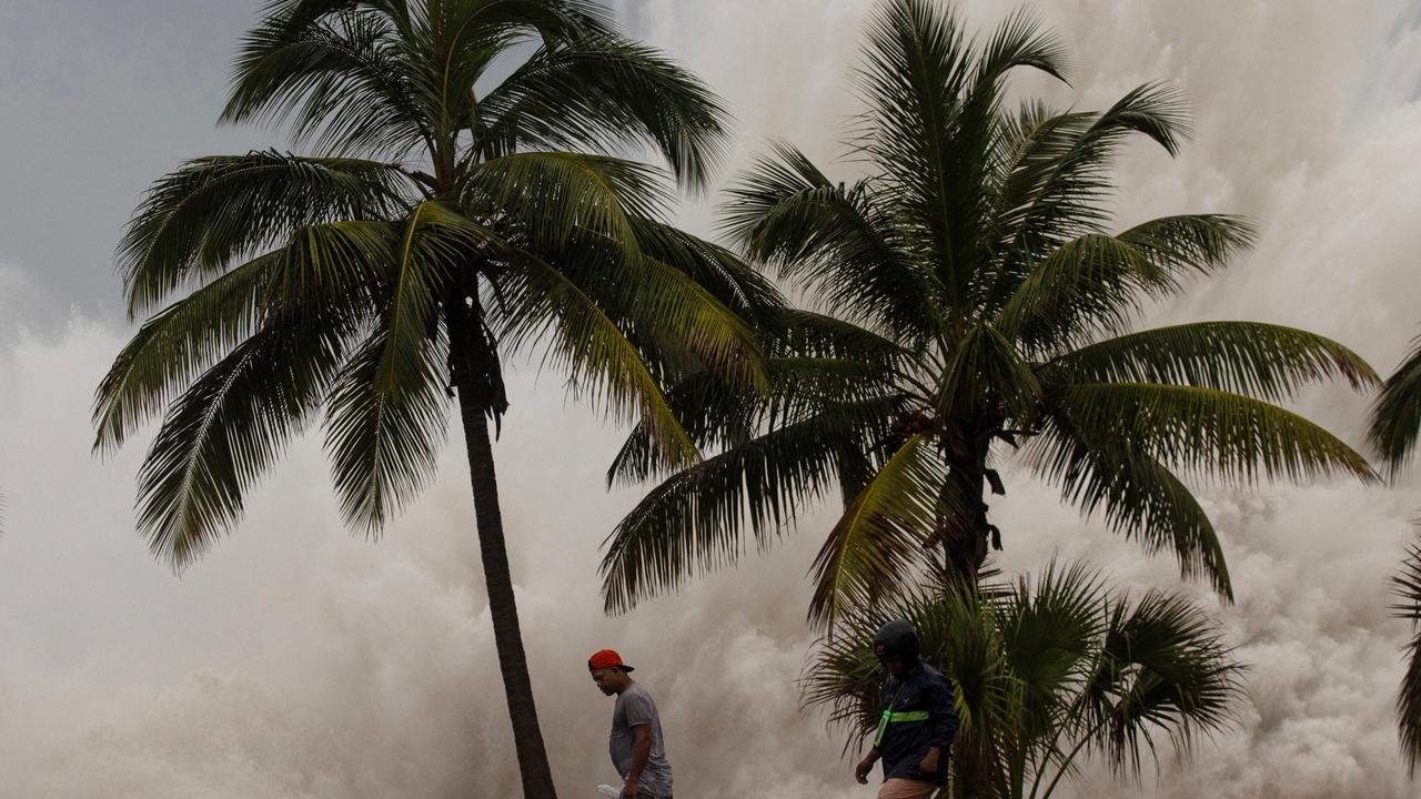
In this way, the State Meteorological Agency(AEMET) stands out as significant phenomena the probability of snowfall on the north face of the Pyrenees. Furthermore, as a consequence of the storm Dorotheathe AEMET points out again, strong intervals with “very strong” gusts of easterly winds in the Canary Islandsespecially in the West, where they could become hurricanesat dawn in the under the Ebro and the Tramuntana in Ampurdán.
Temperatures remain the same, although minimums rise
The AEMET predicts a rise in maximum temperatures in the Canary Islandswhile, for its part, They will descend in the mountains of the northeastern third of the peninsula and without changes in the rest. However, the temperatures Minimum temperatures will rise in the Canary Islands and in the extreme north and southern third of the peninsulawith decreases in the rest. Likewise, it is planned Frosts, which will be weak in most of the interior areas of the northern half of the peninsula, east of the Southern plateau and southeastern mountainsand what can be forts in mountains of the extreme north.
As for the windthey are expected to blow north and northwest winds in the Balearic Islands, and the northeastern third of the peninsulawhile Those from the east and northeast will predominate in the rest of Spain. Thus, strong intervals of wind are expected with “very strong north wind” gusts in Ampurdán, gales in the lower Ebro and east in the Strait.
Furthermore, the AEMET points out that there will be “intense” winds from the east and southeast in the Canary archipelago, with intervals of “strong” wind and “very strong” gustswhich in the western islands can become hurricanes.
The anticyclonic situation persists: clear skies are expected
For today, the AEMET indicates that Yesterday’s anticyclonic situation is expected to persistso the “little cloudy or clear” skies throughout the territory. It is only expected that there will be cloudiness in the Cantabrian environment, upper Ebro, Pyrenees and north of the Peninsulaas well as in the extreme south of the peninsula.
In this sense, it is expected that there will be precipitation affecting the eastern Cantabrian Sea and the Pyreneesalthough they are not ruled out in the rest of the areas of the extreme north of the peninsula, as well as in areas of the Strait and Alborán. Some rainfall that, in the Pyreneesare provided in the form of snow at levels of around 800/1200 meters (not ruled out in the northeast and points of the northern plateau).
Likewise, the AEMET anticipates that it will be abundant low morning cloudiness in other areas of the northern half of the peninsulawith probable fogs in the interior of Galicia, depressions in the northeast and points of the Northern plateau. Furthermore, they are expected cloudy intervals in the Balearic Islands with probable showers in the north of the archipelagowithout occasionally being discarded in the rest.
For its part, The Canary Islands will be under the influence of an Atlantic storm, named Dorothea, that will leave cloudy or covered skies with precipitation in the western islands, unlikely in the eastern ones, and with light haze that will affect the entire archipelago.