
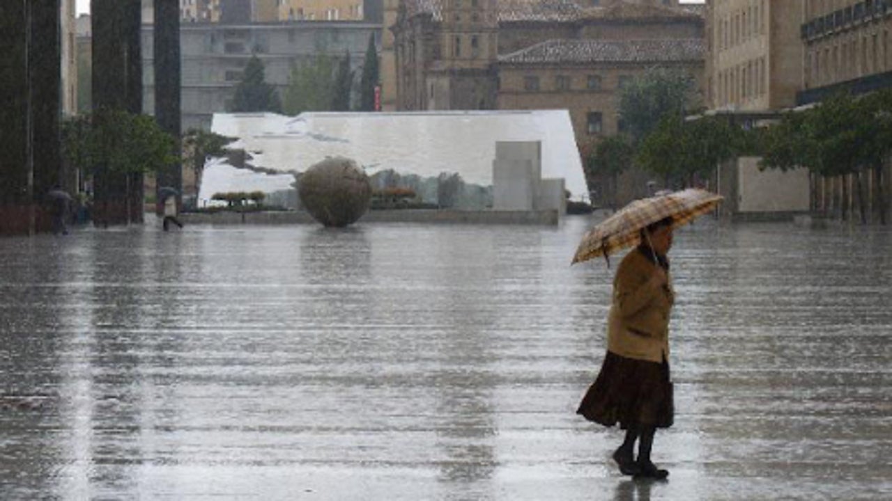
The meteorologist Mario Picazo a few days ago: Autumn is stomping. And his words will come true this Saturday and throughout this weekend and next week. The arrival of an Atlantic trough will make time take a turn this Saturday with instability in much of the Peninsula: the day will be marked by locally very strong storms in the north and a notable decrease in temperatures in the northwest, while the south and the Canary Islands will continue to support the heat and calim.
The entrance of the Atlantic Front It will obscure the heavens from western to east throughout the day. Generalized rainfall is expected in the northern half and in Sierras del Este, with special intensity in the Cantabrian and the Western Pyrenees, where they can be very strong and persistent. In the Upper Ebro and the Iberian, showers and intense storms are also planned, which could be accompanied by strong winding. In the rest of the northern third and in the Mountains of the East, rainfall will be stormy, although less intense.
In the Balearic Islands and the Peninsular Southwest, rains are not expected, although the morning will start with low cloudiness, mists and fog banks in areas of the Mediterranean, the Ebro Valley, Alborán and Mallorca.
The State Meteorology Agency (Aemet) keeps active Several weather notices for rains and storms In nine autonomous communities. Asturias, Cantabria, Castilla y León, the Basque Country and La Rioja will have yellow notices, while Aragon and Navarra will have orange notices. All notices will be activated in the afternoon and will remain until almost the end of the day.
Temperatures in descent in the northwest
In the rest of the peninsula, Temperatures will descend in a generalized waywith an especially remarkable setback in the northwest, where the change will be more noticeable. However, in Levante and Balearic Islands there will barely variations. The minimums will continue to be high: they will not lower the 20 degrees in the Mediterranean, under Ebro and Atlantic valleys of the southwest, and even the 25 in regions of the Canary Islands, prolonging the sensation of night embarrassment.
The wind will also accompany this episode. In the coastlines of the southern peninsular, Cádiz and South of the Balearic Islands will blow from this component with strong intervals, especially in the Strait, where very intense gusts are not ruled out. However, in the afternoon they will tend to west. In the northwest and the Cantabrian, winds of the West will predominate, with strong intervals on the coast. In the Canary Islands, the flow will be from the east and northeast, while in the Mediterranean it will remain from the east. In the rest of the Peninsula, lazy winds will predominate, with a certain tendency to west component.