
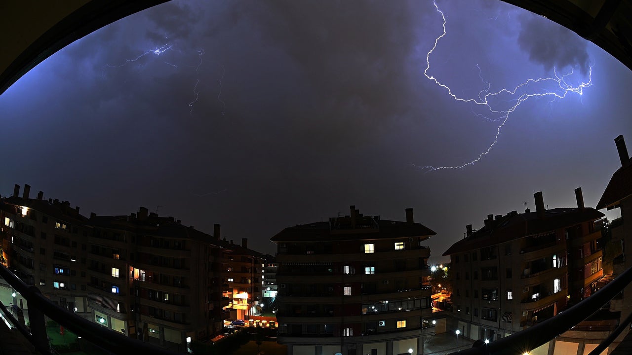
After several days of suffocating heat with very high temperatures in most regions, time will begin to change from the end of the week with the Arrival of an Atlantic trough and the subsequent step of a cold storm through the surroundings of the French Brittany. According to Samuel Biener, Meteored expert, this will cause the arrival of several fronts and lines of instability that they will distribute Locally strong rains and storms between Friday and Sunday. In addition, temperatures will fall in many areas.
Rains and occasional storms are expected in Galicia, Asturias, Cantabria, Basque Country, Navarra, La Rioja, Northern Castilla y León, Los Pyrenees, Northern Aragon and Catalonia, as well as in areas of the Iberian System. The thermal descent will begin with the west peninsular and will extend during Saturday, although the heat will continue to tighten in the Mediterranean area.
The contrast between cold air in height and the heat accumulated on the surface, together with the convergent winds and the high temperature of the sea, could favor the formation of severe storms. Biener does not rule out the appearance of supercells, turbonada lines and organized convective systems. Friday could be the most adverse day, especially In Basque Country and Navarra, where storms could leave large hail and very strong wind gusts.
The weekend will continue instability in the north third, with more rainfall and storms. On Saturday it will rain in Galicia, Cantabrian communities, Navarra and even in the Iberian Norte. In the afternoon, tormentous showers will grow in the Aragonese Pyrenees and in points of Cataloniawhich will locally download intensity, without ruling out that much more isolated and weakly appear in other northeast places, warns the expert.
During Sunday, the northern regions will continue under the influence of this Atlantic decline that will advance through the north of the Cantabrian Sea. Biener points out that a front associated with this depression will cause Locally strong rains and storms in Galicia, Cantabria and Asturias, and that will be transferred through the north of Castilla y León, Navarra and the Basque Country. Also in the morning some chaparrons could be registered in Aragon, Catalonia and north of the Valencian Community. Although there is still some uncertainty in the forecast, Biener warns that storms could gain strength in the last hours of the day in Navarra and Aragon,