
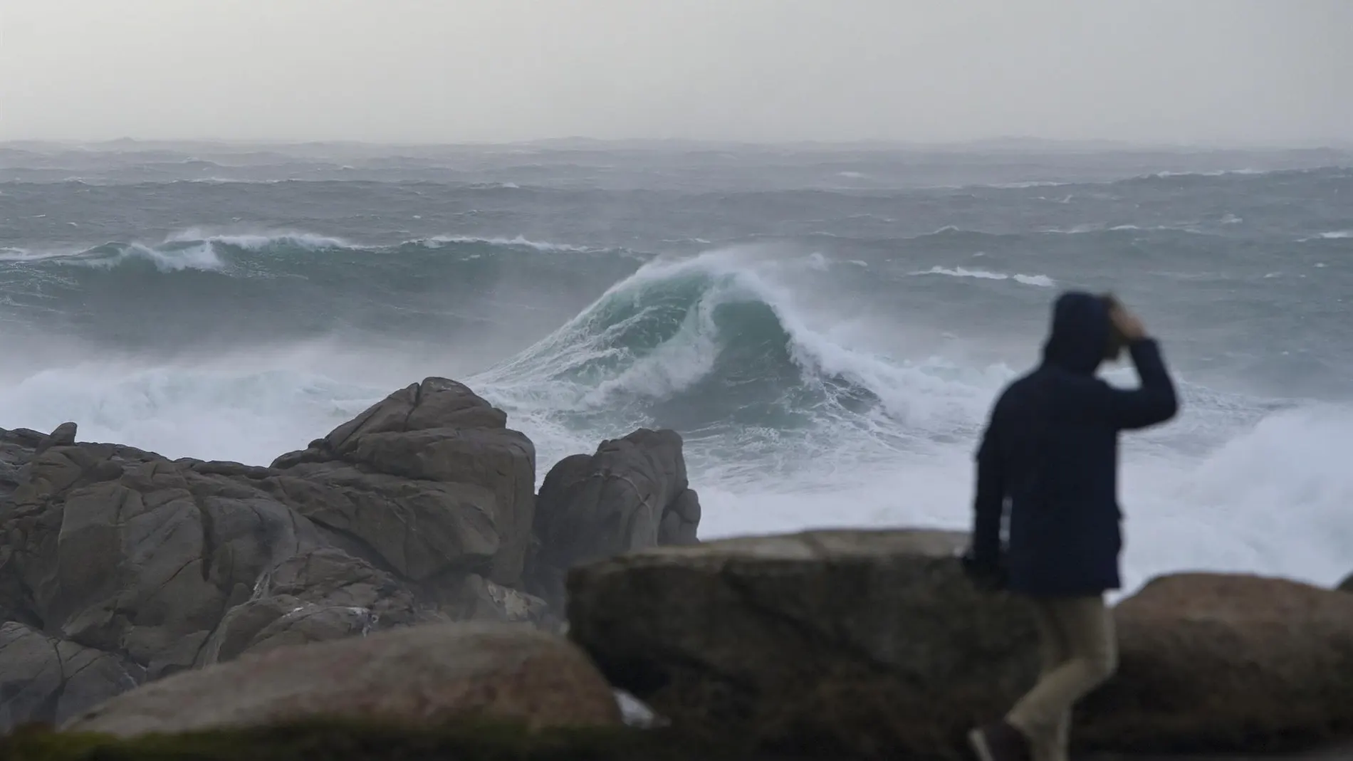
The week begins under the influence of an intense storm. Ten autonomous communities are on alert this Monday due to strong gusts of wind and the poor state of the sea. As reported by the State Meteorological Agency (AEMET)the situation is especially delicate in the east of the peninsula, where Balearics and Cataloniamaintains the orange notice, which represents a significant meteorological risk.
Major risk in the Mediterranean
Minorca It is the critical point of the Balearic archipelago. The orange warning responds to adverse coastal phenomena with waves that could reach 5 meters and north winds of up to 60 km/h. In Majorcathe level drops to yellow, although waves of 3 meters are expected.
In Cataloniathe province of Girona It is also under an orange warning due to a maritime storm with north and northwest winds of 60 to 70 km/h (force 8) and waves of 4 meters. He Empordà It also remains on yellow alert for wind gusts of 90 km/h.
In addition, the northwest wind will especially punish the south of Tarragonawith gusts that will also reach 90 km/h.
Snow in the Pyrenees and gusts of 70 km/h
While the east suffers from the maritime storm, other areas of the country deal with persistent winds and the first snow of the day. In the province of Lleidathe yellow warning for snowfall has been activated. Thicknesses of about 5 cm are expected in 24 hours at an elevation located at 1,100 meters.
Various provinces in the interior and the south of the peninsula are under warning for gusts of up to 70 km/h. This situation affects Teruel and Zaragoza in Aragón, Albacete in Castilla-La Mancha, and Castellón in the Valencian Communityto. These intensities are also expected in Almería, the Region of Murcia and Melilla, with predominant northwest winds.
Stabilization in the Cantabrian Sea
In the north of the peninsula, Cantabria and the Basque Country have started the day with warnings for combined seas and waves of up to 5 meters. However, the AEMET forecast indicates that the situation in this area will tend to stabilize throughout the morning.
The rains will irrigate much of Spain
Instability will remain in the northern third of the peninsula and in the Balearic Islands, with cloudy or overcast skies and precipitation that, in the early hours, will also affect the extreme southeast, with the probability of being strong in areas of Murcia, Albacete and the south of the Valencian Community. Throughout the day there could also be some locally strong shower in the Cantabrian Sea and northern Galicia.
In the rest of the Peninsula, slightly cloudy skies or with cloudy intervals will predominate, increasing during the afternoon with abundant evolving cloudiness that will leave occasional showers in mountain environments and points in the southeast, and may affect both plateaus in isolation.
Temperatures drop again this Monday
Temperatures will continue to drop this Monday in much of Spain. It is expected a decrease in maximum temperatures in the southern half of the Atlantic slope, Alborán, Balearic Islands, Pyrenees and northeastern Catalonia. The minimum temperatures will also drop in the southern half of the peninsula, the northern plateau and Catalonia.