
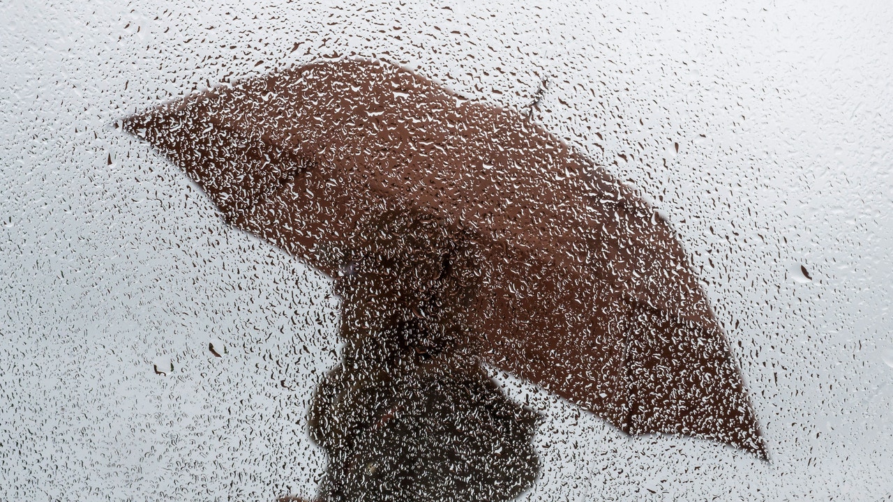
The week has started with a significant temperature drop in the north of the peninsula of up to 14 degrees less in the maximum temperatures. But not only are temperatures dropping, they are also expected rains and storms for the next few days.
A northern wet flow This Tuesday, it will leave skies covered in the north of Galicia, the Cantabrian slope, the upper Ebro, the north of the Iberian Peninsula and the Pyrenees, with weak rains in the eastern Cantabrian Sea and the Pyrenees. According to the State Meteorological Agency (Aemet), it is likely that there will be snowfall in the Pyreneeswith an elevation above 1,600 meters, dropping to 1,000/1,400 meters.
In it eastern Catalonia cloudy skies are also expected with showers that could extend throughout the afternoon to the east of the Balearic Islands, where a gradual increase in cloudiness is expected. In the rest of the country, stability will prevail, with clear skies and some intervals of high clouds in the Canary Islands, in addition to morning fog banks in the northern mountains and persistence of haze in the Balearic Islands in the early hours, and not ruled out in the Canary Islands.
The Maximum temperatures will decrease in the northern half of the peninsula, notably in the northeast, and in both archipelagos, while they will rise in the southeast of the peninsula, Alborán and around the Guadalquivir. The minimums will increase in Ceuta, Melilla and the southern third of the peninsula, decreasing in the northern and northern half of the Balearic Islands. They will continue at high values for the season in the southern half of the peninsula and the Canary Islands, with weak frosts only in the Pyrenees. The hottest capitals could be Seville (33 degrees), Córdoba and Murcia (32), and Badajoz and Granada (30), while it will be colder in Vitoria (12); Burgos, Oviedo and Pamplona (13), and Bilbao (14).
Finally, winds from the north will predominate in the northern half of the peninsula, with strong intervals and very strong gusts on the coasts of western Galicia, around the middle and lower Ebro and Ampurdán. Variable light wind in the southern half tending towards a west, north and east component in the Balearic Islands, and trade winds, generally weak, in the Canary Islands.
Starting Wednesday, the north wind will drag clouds to the north of Galicia, the Cantabrian Sea and the Pyrenees leaving rain and snowfall above about 900 to 1,200 meters and showers in the east of Catalonia and the Balearic Islands. In the rest of the country, in general, the skies will be slightly cloudy or clear, but with intense winds especially in the northeast and the Balearic Islands.
That day we expect a general drop in temperatures in the northern half, the Mediterranean, the Balearic Islands and in central areas of the country. Cities like Valencia, Alicante or Palma will remain below 20 degrees and around 15-18 degrees in the provincial capitals of the northern half. Even so, in the south Seville and Córdoba will exceed 30 degrees.
Starting Thursday and Friday, the peninsula will most likely remain under influence of high pressures, but already weakened, which will favor a slight increase in instability with some shower and storm, more likely in the interior of the southern half. The mornings will be cold and there could even be frost in mountain areas in the northern half and nearby areas.
Looking ahead to the weekend, temperatures will generally tend to drop in the southern half and rise in the northern half, with a generally mild environment. Furthermore, Aemet does not rule out the possibility that a DANA or a storm in the south of the Peninsula that would leave rains that could be accompanied by storms especially in the southern and western thirds of the territory.