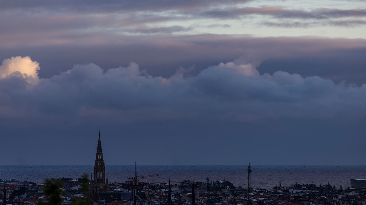
The week has started with a pronounced thermal drop in the extreme north of the peninsula, which as of this Wednesday will extend to more areas. The tsnight temperatures will plummet on Thursday and the frost will return not only to the mountains. All this will be accompanied by light rains in the Cantabrian Sea and some storms in Catalonia and the Balearic Islands. Looking ahead to Friday and the weekend, a DANA will predictably form in the vicinity of the southwest of the peninsula.
Temperatures will drop this Wednesday in most of the country on a day in which hot spots Balearic Islands, Catalonia, Galicia and Valencian Community They will be on notice for wind and waves, according to the prediction of the State Meteorological Agency (AEMET). Specifically, the warnings for coastal phenomena will be in Menorca (Balearic Islands); in Tarragona and forts in Girona (Catalonia) and in A Coruña and Pontevedra (Galicia). On the other hand, wind warnings will be registered in Tarragona (Catalonia) and Castellón (Valencian Community).
In general, temperatures will drop in most of the country, a decrease that will be especially noticeable in the peaks of the southeast of the peninsula, Malaga and Mallorca. Meanwhile, in the extreme north and in interior areas of the southern third there will be no major changes. So, The highest values that will be recorded throughout the country will be 31ºC in Córdoba and Seville, 30ºC in Granada and 28ºC in Badajoz and Jaén. It will be cooler especially in Vitoria (12), Oviedo and Pamplona (13), and Burgos (14).
On the other hand, the AEMET predicts cloudy or overcast skies in the extreme north of the peninsula, with precipitation in the eastern Cantabrian area and the Pyrenees. These rains will be less likely and will be more dispersed in the rest of the Cantabrian Sea, northeastern Galicia, upper Ebro and northern Iberia, which in general will tend to decrease throughout the day.
At the same time, the state agency also reports low morning cloudiness in other areas of the northern third, around the Iberian and Levante regions, with a tendency to clear up. Likewise, it foresees cloudy or overcast skies in the east of Catalonia and the Balearic Islands that They will leave showers that will affect the peninsular territory and Mallorca, with less probability to Menorca. Meanwhile, the sun will shine in the rest of the country, with some intervals of high clouds in the Canary Islands and the southern half of the peninsula, and evolving cloudiness also in the interior of the southern third.
It is possible that snow in the Pyrenees from 1,000 to 1,400 meters, without ruling out some flakes in the western Cantabrian and northern Iberian regions from 1200/1600 m. In addition, weak frosts will occur in the mountains of the northern peninsula.
He Thursday and Friday The country will still continue under the influence of high pressures, although somewhat weakened. This will favor a slight increase in instability. In the mornings, cloudy skies will generally predominate, but from midday evolution clouds will begin to grow that could give rise to showers accompanied by storm. These showers will be more likely in the interior of the southern half, although on Friday they will also They will extend to parts of Galicia and the northern plateau. Temperatures will tend to drop in the southern half and rise in the northern half, with a generally mild environment. Even so, the early mornings will be cold and there could even be frost in mountain areas in the northern half and nearby areas.
Also, starting Thursday a little DANA will tend to approach the surroundings of the Gulf of Cádiz and North Africa and could leave irregular, scattered and stormy showers, especially in the southern and western thirds of the territory. According to the meteorological information website Meteored, locally stormy downpours could occur on Friday, which will be more likely in Extremadura and Andalusia. It is not ruled out that weaker and more dispersed showers may form in other parts of the south, around the Strait or on the Mediterranean coast. During the weekend, precipitation will be more likely in the south of Andalusia, Strait sector and Melilla. They can also occur in a more isolated and weaker way in other places in the southern half and on the east coast.

