
The next few days will be marked by instability in the north of the Peninsula, with rains and showers that will extend to the east during this weekend. Temperatures are going to recover a little but will be cool for the season.
This Friday Instability continues in the north of the peninsula, with a predominance of cloudy skies and precipitation, more intense in the afternoon and accompanied by occasional storms that could be locally strong in Catalonia.
The prediction of the State Meteorological Agency (Aemet) indicates that there will be cloudy intervals in the southern half of the peninsula, without ruling out some weak and isolated showers, except in the southeastern third and the Balearic Islands, where the sun will shine.
In the Canary Islands, cloudy skies or cloudy intervals are expected, and probable precipitation in the north of the most prominent islands, without also ruling out some weak showers in the rest of the archipelago.
Temperatures will rise slightly in large areas of the peninsula. It will be warmer in Murcia (31 degrees) and Córdoba, Seville and Valencia (27), and colder in Lugo and Segovia (16), and Ávila, Burgos, León, Oviedo, San Sebastián and Soria (17). There will be weak frosts in the Pyrenees.
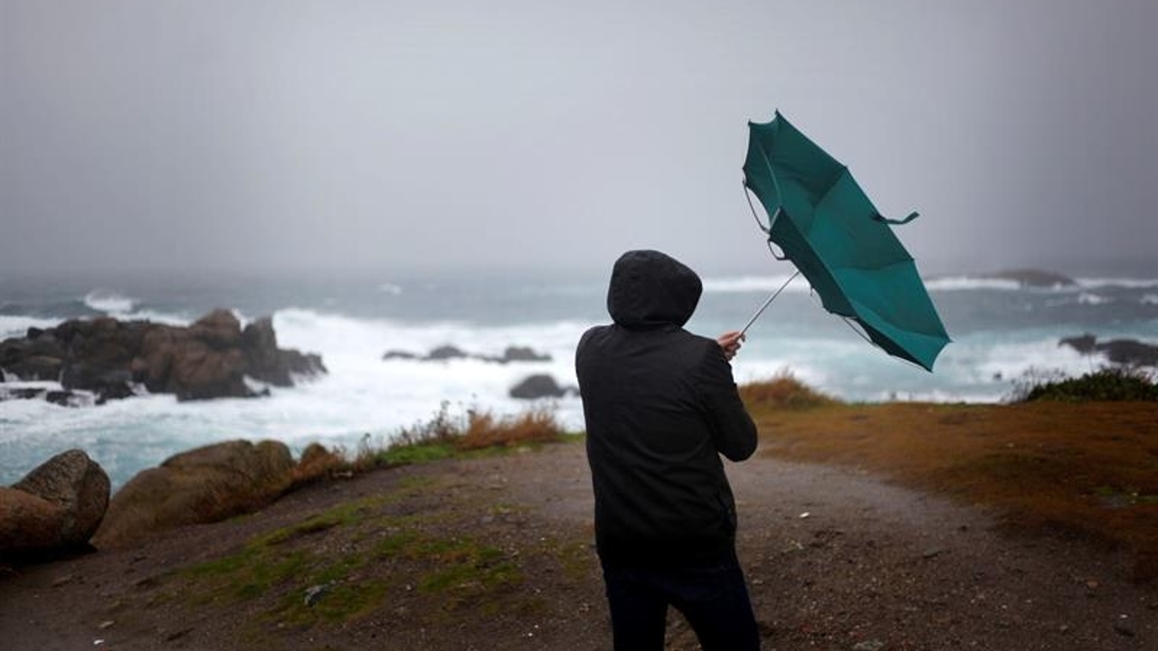
Finally, this Friday light to moderate winds from the west will blow on the peninsula, except in the northeast, where they will be of variable direction. There will be southerly winds in the Balearic Islands and moderate northeasterly trade winds in the Canary Islands.
Where will it rain on Saturday and Sunday?
He weekend Instability will also spread to the east. In these areas, expect evolution clouds to grow on Saturday and Sunday from midday and leave showers.
The areas most likely to experience showers on Saturday will be Galicia, Cantabrian Sea, northern Castilla y León, Navarra, La Rioja, Aragón, Catalonia and northern Valencian Community.
On Sunday the rains will also extend to east of Castilla y León and east of Castilla-La Manchawithout ruling out some showers in the rest of the north and east of the Peninsula and even also in the downtown area.
Precipitation will be in the form of snow at high levels of the Pyrenees and occasionally in other northern mountain systems. Temperatures will continue to rise in general, although they will drop in the eastern third of the peninsula, especially on Sunday. Except in areas of the northern third, 20ºC will be exceeded in almost the entire country and 25ºC in the northeast and half of the south.
The week of May 20 to 26, the situation of instability is expected to continue at first and gradually subside throughout the period.
The AEMET expects that rainfall will lose probability, intensity and extent, so that From Tuesday they will be restricted to the extreme north. Temperatures will tend to increase progressively, although at first there may be drops in the Balearic Islands and the southern third.