
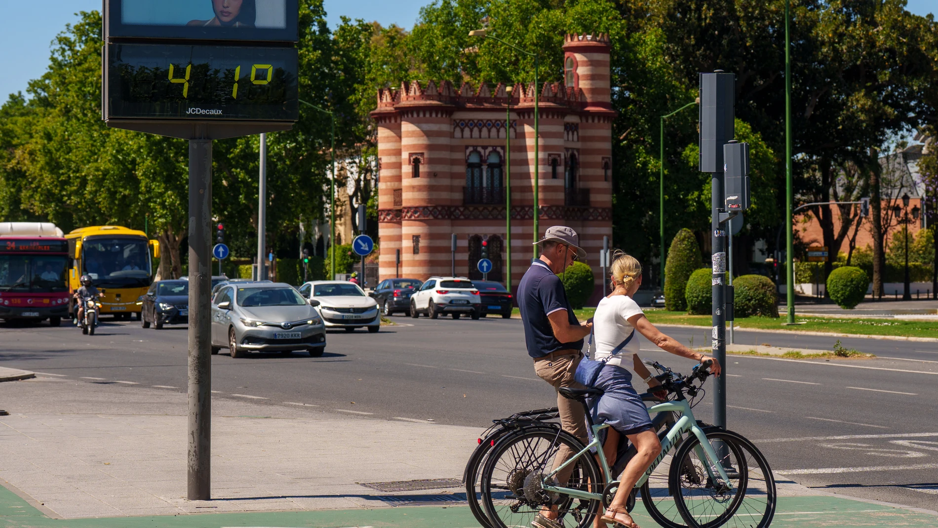
The State Meteorological Agency has issued a warning for this Thursday, May 28, which draws a map of Spain trapped in a mass of persistent heat, with temperatures that will soar well above usual for this time of year. The agency predicts that thermometers will exceed 34 to 36 degrees in a good part of the southwest quadrant and the northeastern third, and even reach or exceed the barrier of 36 to 38 degrees in the depressions of the Guadiana, Guadalquivir and Ebro.
The situation will also affect areas where extreme heat It’s not that common, such as the south of Galicia, the northern plateau and points in the Cantabrian Sea.
Atmospheric stability will be the note dominant in almost the entire territory, with mostly clear skies or little cloudiness. Only Galicia and the north of the Canary Islands will dawn with cloudy intervals.
However, the Agency warns of a change in the afternoon: daytime warming will generate evolving clouds in areas of the center and the northern half, which could translate into isolated showers or storms in mountain environments, with greater probability in the northwest of the peninsula. Mists or coastal fogs are also expected in Galicia and the Cantabrian coastwhile a light haze at altitude will settle over the Canary Islands and could extend to the western and southern ends of the Peninsula.
Tropical nights that prevent rest in the southwest and the Ebro valley
The episode will not give truce when the sun goes down. The minimum temperatures will remain above 20 degrees in the southwest and in the Ebro basin, a threshold that meteorologists consider tropical night and that prevents homes from cooling down at dawn. In the eastern half of the peninsula, the minimum temperatures will even rise compared to previous days, while in the Canary Islands they will experience a decrease.
He contrast thermal will come precisely from the archipelago canary and of Western Cantabrian and northern Galiciawhere the maximums will drop significantly. On the Mediterranean coast, on the contrary, daytime values will rise, amplifying the sensation of sultry. The rest of the country will register few variations, consolidating a suffocating environment that the AEMET describes as high for this time of spring.
East winds in the Strait and northern component in the Canary Islands
The regime of winds It will also show contrasts. In the Strait it will blow from the east with possible strong intervals, while the Galician coasts will register moderate winds from the north. In the rest of the peninsula the wind will be weak in general, although it will pick up during the afternoon. The southern half and the eastern façade will be under the influence of the eastern and southern components, and the Cantabrian will tend to the western component.
On the coasts the typical breeze regime. The Balearic Islands will have a light wind from the west and the Canary Islands will be exposed to a moderate wind from the north, also with possible strong intervals.