
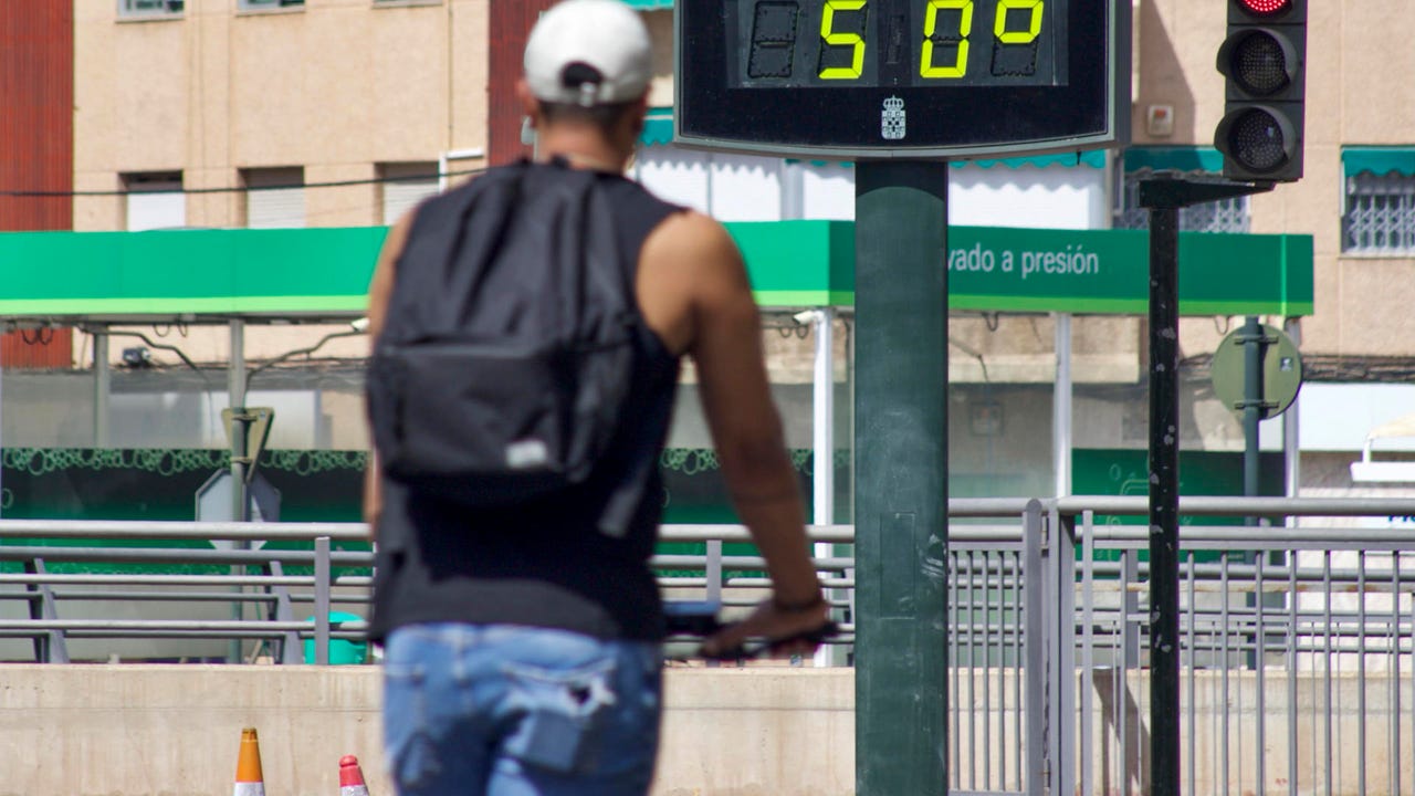
According to the last special notice of the Aemetthe mass of warm air that affects the Peninsula, Balearic Islands and the Canary Islands will begin dissipate progressively during the next few days, being the new date of completion provided Next Wednesday, August 13. This change in weather forecasts is a advancement Regarding previous estimates. Despite this phenomenon, the agency warns that South and interior areas They will keep maximum higher than 40 ° Cwith tropical nights in areas Mediterranean and of Guadalquivir Valley.
Pattern change
The transition process will be accompanied by Atmospheric instability in the northeast, where locally strong storms are expected with hail and intense wind gusts. These phenomena, although they will contribute to the decrease in temperatures, could cause incidents in areas of Catalonia and Aragon.
In Canary Islandsthe improvement will be more gradualwith Calima persistence and still high values in mediaías, especially in the Oriental Islands. The archipelago will experience a Slow thermal relief than the Peninsula, although with a tendency to normalization.
Health authorities recommend Maintain precautions until the transition is completedespecially in the regions where temperatures will remain very high for a longer time. The Aemet underlines that, although the episode is coming to an end, it is necessary to continue attentive to your notices before possible changes in the planned evolution.