
This weekend a small DANA will destabilize the atmosphere in some areas, with risk of locally heavy showers and storms, without ruling out hail. Temperatures will drop on Sunday pending a polar air eruption during the next week.
The weather this Friday will be stable in most of Spain, with temperatures rising up to seven degrees in the north, while in the afternoon storms are expected in the interior of the southern half of the peninsula.
Specific, The maximums will rise significantly in the northern half of the peninsular, while in the Balearic Islands they will remain stable and in the rest of the country they will decrease. The highest temperatures in the entire country will be recorded in Córdoba and Ourense (28ºC); in Huelva, Jaén and Pontevedra (26ºC) and in Badajoz, Ciudad Real, Santa Cruz de Tenerife and Toledo (25ºC)while it will cool in Santander (16) and San Sebastián (18).
Regarding the minimums, they will be decreasing except in the extreme southwest of the peninsula and in the west of Galicia. In this sense, the weak frosts will gain extension in the main mountain systems of the northern half of the peninsula and will be more intense in the Pyrenees. Furthermore, they are not ruled out in areas of the eastern part of the northern plateau.
On the other hand, the sun will shine in large areas, although low morning cloudiness is expected on the coasts of the Mediterranean, the Strait area, the eastern Cantabrian Sea, the upper Ebro and western Asturias.
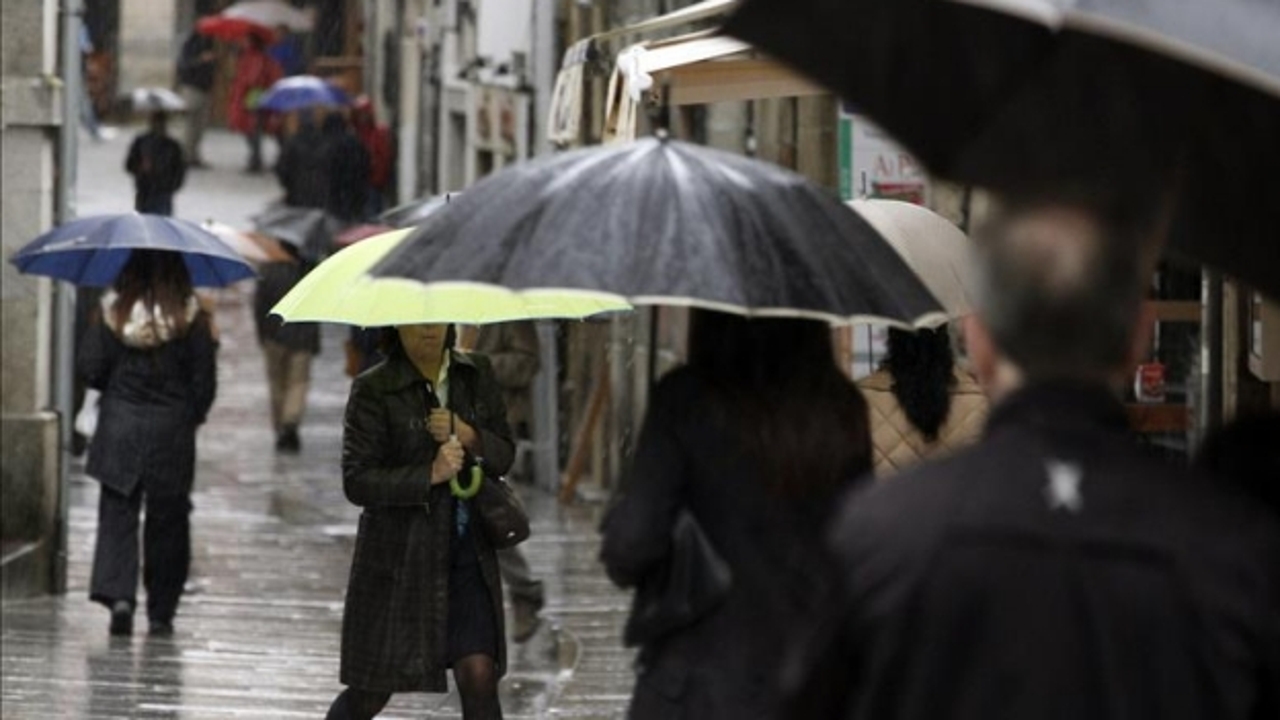
Likewise, the prediction includes diurnal cloudiness in large areas of the southern half of the peninsula and eastern Iberia, with probable showers that could be locally strong and occasionally accompanied by a storm in the south ofand Extremadura, northern Andalusia and western Ciudad Real. Some drizzle is not ruled out in the area around the Strait and the Mediterranean coast.
Meanwhile, the Canary Islands will have cloudy intervals with a low probability of weak and occasional rainfall on the mountainous islands.
Where is it going to rain on the weekend?
The weekend will continue to be marked by instability in the southwest of the peninsula. Thus, locally strong showers accompanied by storms, without ruling out occasional hail, are expected in Extremadura, western Andalusia and Castilla-La Mancha, and around the Sierra Nevada, more intense and widespread on Saturday.
Precipitation will also occur, less intense in the Strait and Melilla. In the rest of the Peninsula and the Balearic Islands, a predominance of stable weather is expected, with some weak rainfall in the Valencian Community and Murcia on Friday, and without ruling out weak and occasional showers in the interior of Catalonia and in eastern Iberial. Late on Sunday, cloudiness will increase in the northeast of the peninsula.
Temperatures will increase on Saturday and the south of Galicia, the Ebro Depression, the central area of the Peninsula and the southern half will exceed 25ºC in the afternoon, while the Guadalquivir valley will touch 30ºC. During this day, night frosts are no longer expected. On Sunday temperatures will drop slightly during the day. The maximum temperatures will be around 22-24 ºC in large areas, except in the north, the Mediterranean coast and the Balearic Islands.
Thermal collapse and rain until Wednesday
As for next week, the AEMET expects it to begin with the entry of a cold low in the northeast of the peninsula, that will destabilize the eastern and northern thirds of the peninsula and the Balearic Islands, with Precipitation in these areas until Wednesday.
Starting Thursday, it is more likely entry of Atlantic fronts that would leave abundant rainfall in the northern half of the peninsula, although without ruling out a smaller amount in the southern half and the Balearic Islands. Temperatures will drop sharply on Mondaynotably in the northern half, will continue to decline on Tuesday, and will tend to recover from Wednesday.