
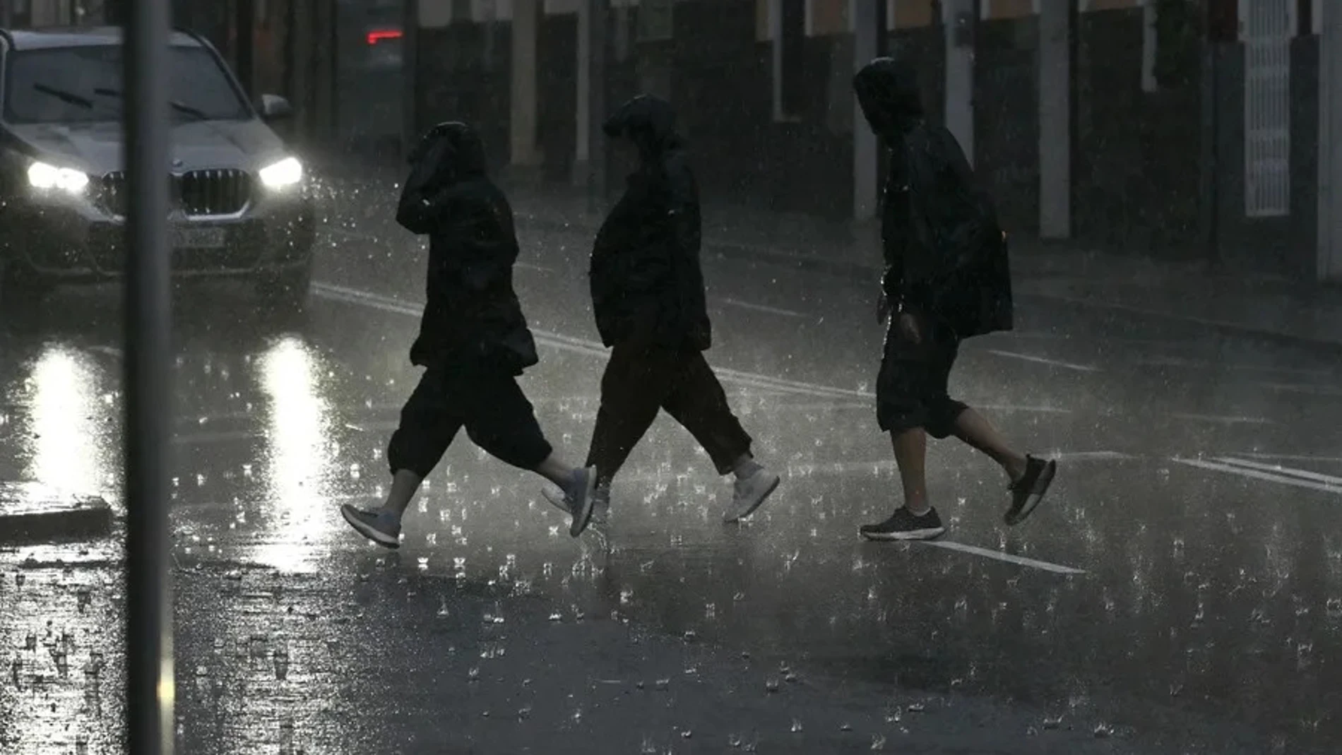
This week will be rainy in many areas of Spain. A succession of fronts associated with deep atlantic storms It will leave autumn weather, with precipitation, strong gusts of wind and sea storms in large areas of the Peninsula and the Balearic Islands. However, temperatures will continue to be exceptionally high for these dates, both day and night.
Rubén del Campo, spokesperson for the State Meteorological Agency (AEMET)points out that minimums of 20 degrees (tropical night) in the Mediterraneanand maximums of up to 30 degrees in the city of Murcia. Starting on Thursday there could be a thermal drop and a “normalization” of temperatures.
As for the rains, they will be “abundant” in areas of Galicia and the surroundings of the Central Systemwhile both the probability and the predicted quantities will be lower in the Mediterranean area and the archipelagos. The wind will also be the protagonist, with intense gusts in the north and east of the peninsula and in the Balearic Islands. In addition, maritime storms are expected on the northern coasts, Catalonia and the Balearic Islands.
The weather in Spain this Monday: heavy rains in Galicia and rising temperatures
The passage of fronts will affect especially the northwest of the peninsula this Monday. The rains will be abundant in Galicia, where they may be strong and persistent, especially in the western half. On the other hand, the further east and in the Mediterranean area clear skies will predominate. Precipitation is not expected in the archipelagos either. Temperatures will rise throughout the territory. The maximum temperatures will reach or exceed 20 degrees in cities such as Bilbao or A Coruña, while they will be around 25 degrees in Valencia, Alicante and Murcia.
AEMET forecast for Tuesday: more rain and a very warm atmosphere
A new Atlantic front will arrive on Tuesday that will extend the rainfall to more areas of the Peninsula. The probability of rain will continue to be lower in Catalonia, the southeast of the peninsula and the Balearic Islands, while Galicia and the surroundings of the Central System will once again concentrate the most intense episodes. Precipitation may be heavy and persistent, especially in the north of Extremadura and the south of Ávila.
Temperatures will continue to rise, except in some areas of southern Castilla-La Mancha and eastern Andalusia. The early morning will be especially warm for the time of year, while lMaximum temperatures will once again exceed 20 degrees in the Cantabrian Sea and 25 degrees in parts of the southeast, such as Alicante and Murcia.. The wind will blow strongly and a maritime storm is expected in parts of the north and east of the peninsula and in the Balearic Islands.
On Wednesday the rains will continue and temperatures will reach 30 degrees in Murcia
The situation will be similar on Wednesday, with the passage of fronts associated with Atlantic storms, with rain in large areas of the Peninsula, although with less probability in the Mediterranean area, especially in the southeast, where rain is unlikely. Rainfall will again be strong and persistent in Galicia and around the Central System, north of Cáceres and south of Ávila and in mountainous areas of Andalusia, the rest of Extremadura and Castilla-La Mancha.. Intense winds will blow in most of the peninsula and the Balearic Islands, especially in coastal and mountain areas.
It will be a very warm day for the time of yearwith minimum values of up to 20 degrees on the shores of the Mediterranean and maximum values that, in the afternoon, could even register 28 degrees in Alicante and 30 degrees in the city of Murcia. Cities like Barcelona and Girona will be around 23 to 25 degrees.
A change in weather arrives on Thursday with a notable drop in temperatures
Facing the Thursdayit is expected a change in weather due to the arrival of colder air to the Peninsula, which will favor a notable and generalized temperature drop. Temperatures will approach the values typical for this time of year, although they will still remain above normal in the Mediterranean area and the Balearic Islands. Additionally, they will register intermittent rains and showers in large areas of the country, less likely in the Mediterranean and more abundant in Galicia and in mountain areas of the west and center of the peninsula.
Friday will be a day of transition, with precipitation in Galicia and clearer skies in the rest of Spain. However, Starting on Saturday, new Atlantic fronts could arrive that will leave more rain, especially in the west of the peninsula. Temperatures will continue to drop, although they will remain at seasonal values or slightly higher than usual.