
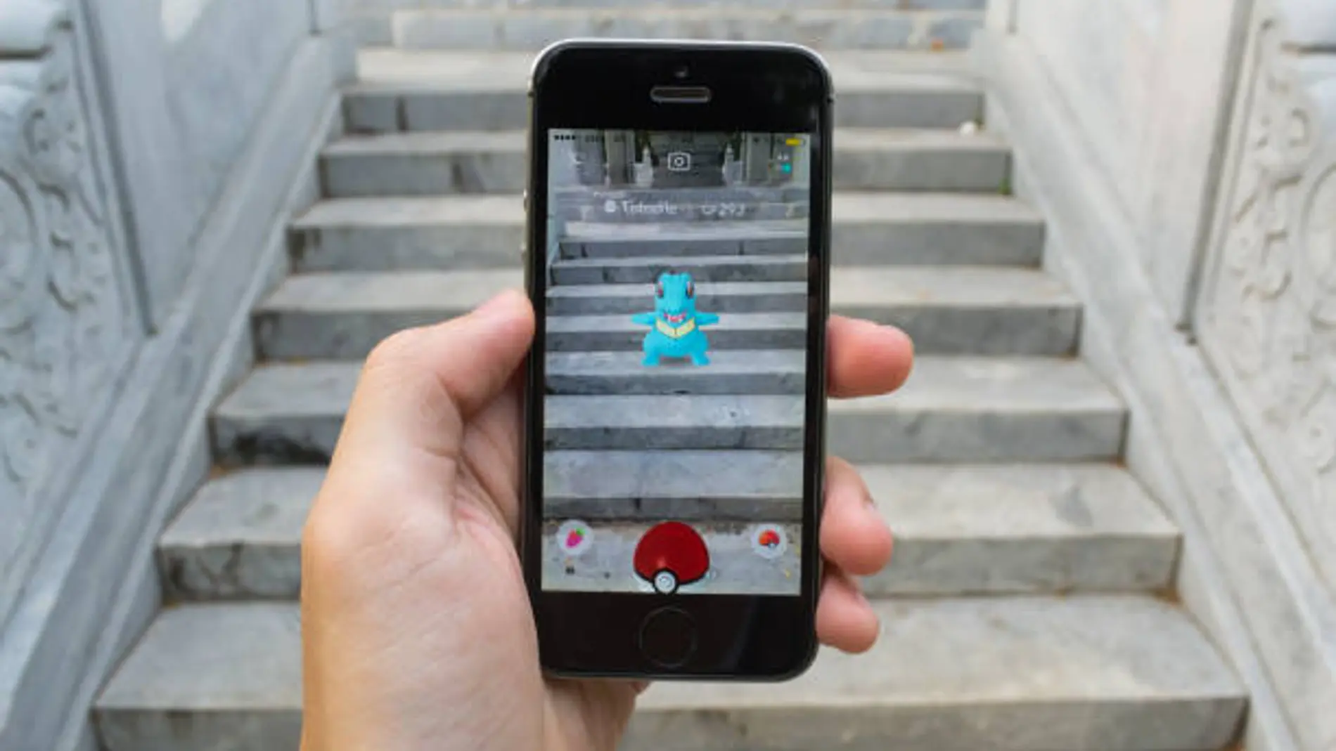
When Pokémon GO came to mobile phones in 2016its impact was immediate. In just two months it reached 500 million downloads, becoming one of the most notable technological phenomena of the moment. Millions of people began to walk through the streets, squares and parks pointing their mobile cameras at buildings or monuments to find virtual creatures and points of interest.
What then seemed like just a game based on augmented reality ended up generating something much bigger. As revealed by MIT Technology Review, the company Niantic, creator of the video game, has taken advantage of all this information collected by players to build an authentic “model of the world.”.
This initiative is developed through Niantic Spatialthe artificial intelligence division that was spun off from the company last year. The objective is for machines to be able to interpret and understand the physical environment thanks to the images captured by the users themselves while they were playing.
A huge invisible map created by millions of players
The data collected through Pokémon GO and its previous game, Ingress, have allowed Niantic to create the largest geo-anchored vision data set ever assembled.
The base includes 30 billion images taken in over a million mapped locations around the planet. Each of these photographs not only shows a specific place, but also contains very precise technical information.
Metadata includes elements such as the camera angle, the exact time the image was taken, weather conditions, or the orientation and speed of the device. All this information turns the file into a kind of extremely detailed visual dictionary of the real world.
Overcome GPS limitations
One of the reasons this system is so valuable has to do with the limitations of the Traditional GPS. Although it is an essential tool in today’s maps, its accuracy can be affected in urban areas with many tall buildings.
In dense cities, GPS signals bounce off facades and can cause location errors of up to 50 meters. For a user walking down the street, this may simply mean appearing on the wrong sidewalk within a mapping app.
However, for autonomous systems – such as robots or vehicles – this margin of error is too large and makes their operation difficult.
From capturing Pokémon to guiding delivery robots
To improve the precision, Niantic Spatial has begun collaborating with Coco Robotics, a company that operates delivery robots in cities such as Los Angeles, Miami or Helsinki.
These small vehicles – which have already made more than half a million deliveries – now use the visual positioning system (VPS) developed by Niantic. Thanks to its four integrated cameras, the robots compare what they capture in real time with the gigantic database of images obtained through Pokémon GO.
In this way they can be located with an accuracy of just a few centimeters, something much more reliable than conventional GPS.
A key step for the robotics of the future
The impact of this technology goes beyond improving robot navigation. Large artificial intelligence companies, such as Google with its Gemini system, have proven that language models are very advanced in processing text, but they still have difficulty understanding how the physical world works.
The system developed by Niantic aims to cover this gap through a three-dimensional and dynamic map full of visual references. Thanks to this type of data, machines could learn to better interpret real spaces.
What started as a game to capture virtual creatures on the street could end up becoming one of the technological bases for the next great expansion of robotics.