
Time in Spain will be marked this Friday by strong storms, heavy rains, wind and a notable decrease in temperatures in several areas of the countryaccording to the forecast of the State Meteorology Agency (Aemet).
The provinces of Castellón (Valencian Community) and Tarragona (Catalonia) are found on orange alert (important risk) for storms and rains that could accumulate up to 40 liters per square meter in an hour. In Castellón, the notice will affect the entire coast until 4:00 p.m.
Yellow Notice in Cádiz
Also in Cádiz (Andalusia), the Aemet has activated the yellow warning (risk) from 12:00 For bad sea and very strong gusts of Levante wind, which could reach 70/80 kilometers per hour.
Temperatures drop in the Mediterranean
Maximum temperatures They will descend significantly in most of the Mediterranean and interiors of the Eastern Peninsular Third, especially in the Valencian Community and nearby. On the contrary, they will rise in the rest of the Peninsula, especially in the south of the northern plateau and in the Cantabrian area.
In the Guadalquivir Valley, 35 degrees will be exceeded. Maximum of 37 degrees are foreseen in Seville, Granada and Córdoba, 36 in Ciudad Real and Jaén, and 35 in Toledo and Badajoz, Servimedia collects.
The minimum will descend in Galicia and the Northeast Peninsular quadrant, and increase in the west end and the eastern facade, remaining above 20 degrees in the Mediterranean and the Guadalquivir, while In León and Soria, 8 degrees are expected, in Teruel and Burgos 9, and in Palencia, Pamplona and Vitoria 10 degrees. In the Canary Islands, there are hardly any changes.
Belly or very strong in the Strait
The wind will also be a relevant factor during the day. The winds of the east and south component will predominate in much of the Peninsula, from the north in Galicia and the section in Ampurdán, which will tend to love. Very strong streaks are foreseen in the Strait, without also being discarded in coastlines of Almería and Ampurdán. In the Balearic Islands will blow moderate wind from the East, and in the Canary Islands the Alisios will maintain with intervals of strong and possible very intense gusts.
Are you going to rain the weekend?
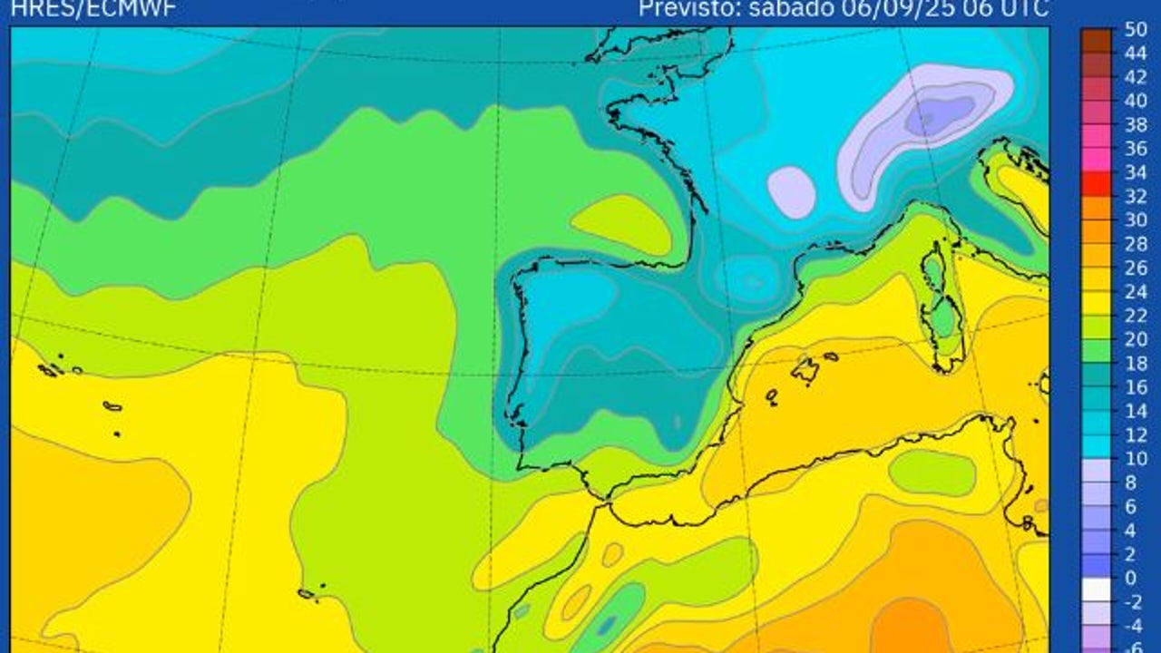
The Aemet foresees a warm Saturday, with rising temperatures in most of Spain, especially in the Cantabrian due to the arrival of southern winds.
In this way, The 30-32ºC on the Peninsula will be generally exceeded and the 32-34ºC in large areas of the north and the Balearic Islands. ANDn cities such as Oviedo or Santander can be touched by 33-34ºC and in Bilbao they can even exceed 35ºC. In good part of the center and south 34-36ºC will be reached and in the Locally Guadalquivir Valley The 38ºC could be reached, for example, in the city of Córdoba.
The rains will be scarce, except in Galicia, for the arrival of again. Nor can any isolated storm in the east peninsular.
On Sunday, the front that entered through Galicia will continue its progress from west to east and leave Abundant rainfall in Galicia, but could extend to Asturias and northwest of Castilla y León.
Likewise, a decrease accused of temperatures is expected, except in the Mediterranean and Balearic Islands where 35ºC could be exceeded.
On Monday it will begin with lower temperatures that will be recovered in the following days. Precipitation will be limited to the peninsular northern third.