
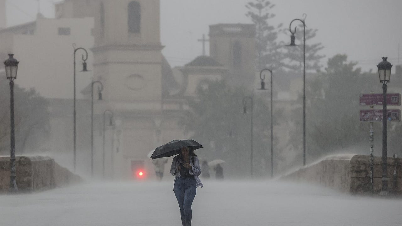
Autumn is presented as one of the most critical stations in terms of meteorological phenomena in Spain. According to Meteored experts (time.com) The risk of torrential rains has increased significantly in the Mediterranean area, driven by a warmer sea than usual, temperatures above average. But can this fall be repeated an episode of catastrophic rains like the Dana de Valencia?
Danas (isolated depressions at high levels) are atmospheric structures capable of triggering extreme rainfall in a matter of hours, especially when they coincide with conditions such as warm seas, high humidity and cold air in height.
However, meteorologists They discard, in principle, an episode as extreme as that of last years. Torrential rains such as those at the end of October 2024 “will probably take years to repeat.” Despite this, remember that With lower rainy amounts, impacts can also be significant.
Dapadas’ danas: more energy, more dangerousness
The climatologist Samuel Biener, expert from Meteored, warns that there is a high risk that heavy rains return to the countries bathed by the Mediterranean. He points out that the exceptionally warm seas, with temperatures that touch the 30 degrees, and an atmosphere full of moisture, The energy available for the formation of violent storms increases significantly.
“Autumn of 2025 is presented as an irregular station due to climate change, With cooler nights, frost in mountain areas and a chaotic behavior of rainfall ”Biener explained.
From Meteored they warn that this type of atmospheric systems This year “you do” are found due to the extreme conditions of the environment, its danger increases. Although not all DANAS generate torrential rainfall, the current combination of factors – such as warm seas and greater energy in the atmosphere – significantly increases the probability that these Episodes are more intense and destructive.
Difficult forecast and very irregular rains
Biener points out that It is difficult to foresee the rain at this time, since most of Spain records very irregular rainfall, especially in the Mediterranean communities, where they can occur intense episodes with important impacts.
According to current ECMWF maps, there is a light Dry anomaly in the west peninsular and something wet in the Mediterranean communities, although without a clear trend. However, the expert emphasizes that “a single intense episode could quickly change the rainfall of autumn and the year, and this type of phenomena can only be anticipated a few days in advance.”
As for temperatures, they are expected to remain above average, following the European trend.