
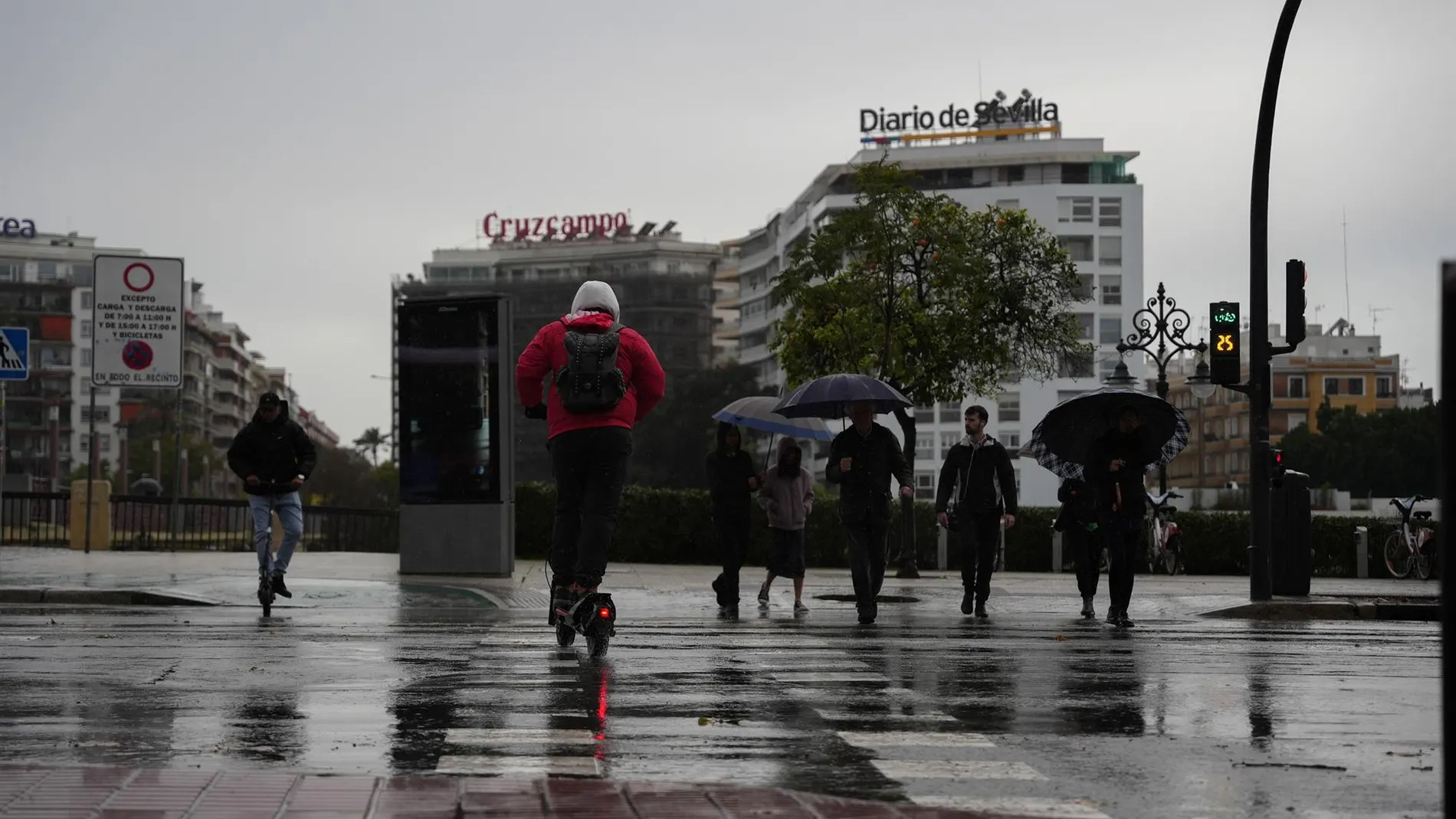
DANA Adam begins to walk away this Tuesday after leaving extraordinary rains in the Balearic Islands, the Valencian Community and Catalonia. Its passage has left historical records, such as the record of 173.8 liters per square meter accumulated in just 24 hours at Ibiza airport, the highest figure for an October day in more than eight decades.
Despite the withdrawal of this weather system, the State Meteorological Agency (AEMET) maintains yellow warnings for rain and storms in several areas of the country. Instability will persist especially in the Balearic Islands and Catalonia, where heavy showers are expected that could be very intense locally.
The AEMET maintains warnings for rain and storms in these areas
This Tuesday, the weather will continue to be unstable in the eastern peninsula and the Balearic Islands, with cloudy or overcast skies and precipitation accompanied by storms. The AEMET foresees significant accumulateds, especially in the Balearic archipelago and the Empordà, in Girona.
The yellow warnings for storms and heavy rain They last until noon in Mallorca, Ibiza, Formentera and areas of Girona, while in Menorca they last until 6:00 p.m.
In Catalonia, rainfall could be accompanied by hail and strong gusts of wind. Furthermore, it is expected maritime storm starting in the afternoon in Empordà.
The rains can also affect the Canary Islands, especially La Palma and El Hierrowhere more than 15 liters per square meter in one hour.
The rains are beginning to subside and temperatures are rising in much of Spain
While the Balearic Islands and Catalonia are still waiting for rainfall, the situation will tend to stabilize in a good part of the Peninsula. Isolated rains may appear in Andalusia, the center of the peninsula and the Cantabrian Sea, with the possibility of being locally strong in parts of Jaén.
Precipitation will cease throughout the day, from south to north, although the approach of a atlantic front It will leave more cloudiness in the northwest. In the Canary Islands, showers could be strong and persistent in El Hierro, without also being ruled out in La Palma.
Regarding temperatures, They will drop in the Balearic Islands, Galicia and the southwest of the peninsula, while they will rise in the rest of the country. The rise may be notable in areas of the eastern façade and the interior of the northeast.
Alicante could reach 29 degreeswhile Almería, Murcia, Santa Cruz de Tenerife and Valencia will be around 26. At the opposite extreme, Segovia will remain at 14 degrees and Ávila, Burgos, León and Palencia will mark around 15.
What will the weather be like on Wednesday, Thursday and over the weekend?
The forecast of the AEMET points to a calmer evolution after the rainy episode associated with DANA Adam. Wednesday will be a much more stable day. The rainfall will be concentrated in Galicia, the cantabrian communities especially in the area around the Basque Country, and the northeast of Catalonia. Rain is also expected on the mountainous Canary Islands. Maximum temperatures will be around 25 degrees in some parts of the southern peninsula.
On Thursday, rainfall will be more restricted to Galicia and the mountainous areas of the Canary Islands. The maximum temperatures will rise slightly, while the minimum temperatures will be somewhat lower than usual for this time of year.
Looking ahead to Friday and the weekend, the relatively stable weather in much of Spainalthough new rains could occur in the extreme north of the peninsula and, more occasionally, in other areas of the northern half. In the Canary Islands, rainfall will tend to gradually subside. Temperatures will remain without major changes, with fresh morningsalthough a new thermal rise could begin on Sunday.