
During the weekend, meteorological stability will spread across most of Spain. However, in some areas should not store umbrellassince some rains are expected in parts of southern Andalusia, the area around the Central System and the Cantabrian area. Thermometers will be below 10 degrees in the northern interior, while in the Cantabrian Sea, the interior of the southern half and the Mediterranean area, the environment will be more temperate.
Where is it going to rain today?
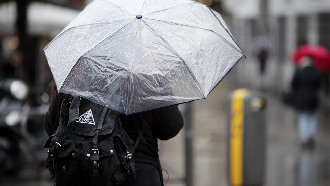
At the moment, the forecast of the State Meteorological Agency (AEMET) indicates that this Friday a situation of instability is expected in the peninsula and the Balearic Islands, with abundant cloudiness and probability of weak rains in the southern half, the northeastern third and areas of the Mediterranean environment. Rainfall could intensify and be locally strong with storms in the northeast of Catalonia, the Alborán area and the coasts of the southeast of the peninsula.
In addition, light snow is possible in the Central System, the south of the Iberian system, the southeastern mountains and, especially, in the Pyrenees, where the snow level will be between 1,200 and 1,600 meters. As the day progresses, precipitation will tend to subside, opening up clearings in many areas. However, showers will persist in western Galicia. In the Canary Islands, the mountainous islands will have cloudy skies with occasional showers likely, while the rest of the archipelago will see cloudy intervals.
The capitals with the lowest temperatures
Regarding temperatures, maximum temperatures will be increasing in the eastern and southern thirds of the peninsula and without major changes in the rest. The coldest values will be recorded in cities such as Ávila, Burgos, León, Segovia and Soria, with maximums of 7 degrees, while Almería, Melilla and Murcia will be around 18 degrees..
Frosts will continue to affect most of the interior of the northern half of the peninsula and mountain environments in the southeast, without ruling them out in the east of the southern plateau. These may be locally strong in mountains in the extreme north. The provincial capitals that will register the lowest values will be León with -3ºC; Burgos, Lugo, Palencia, Salamanca and Soria with -2ºC; and Ávila, Segovia, Valladolid and Zamora with -1ºC.
Abundant fog banks
During the weekend, anticyclonic weather will predominate in much of the country, although this will favor the formation of abundant fog banks and low clouds that will tend to dissipate after middaya, leaving cloudy skies. YesOnly some weak rains are expected in parts of southern Andalusia, the area around the Central System and the Cantabrian area..
How long will this cold last?
As for temperatures, no major changes are expected. The cold atmosphere typical of mid-December will continue, with night frosts in much of the interior of the peninsula, especially intense in the Pyrenees, where -3 or -4ºC could be reached on the northern plateau and central moors.
During the central hours of the day, thermometers will be below 10ºC in the interior of the north, while In the Cantabrian Sea, the interior of the southern half and the Mediterranean area, somewhat higher values will be recorded, reaching around 18 or 20ºC in cities such as Alicante, Almería or Málaga..
Next week will begin with an intensification of night frosts, althoughStarting Tuesday, a notable thermal rise is expected. Rain could also be recorded in the western end of the peninsula.