
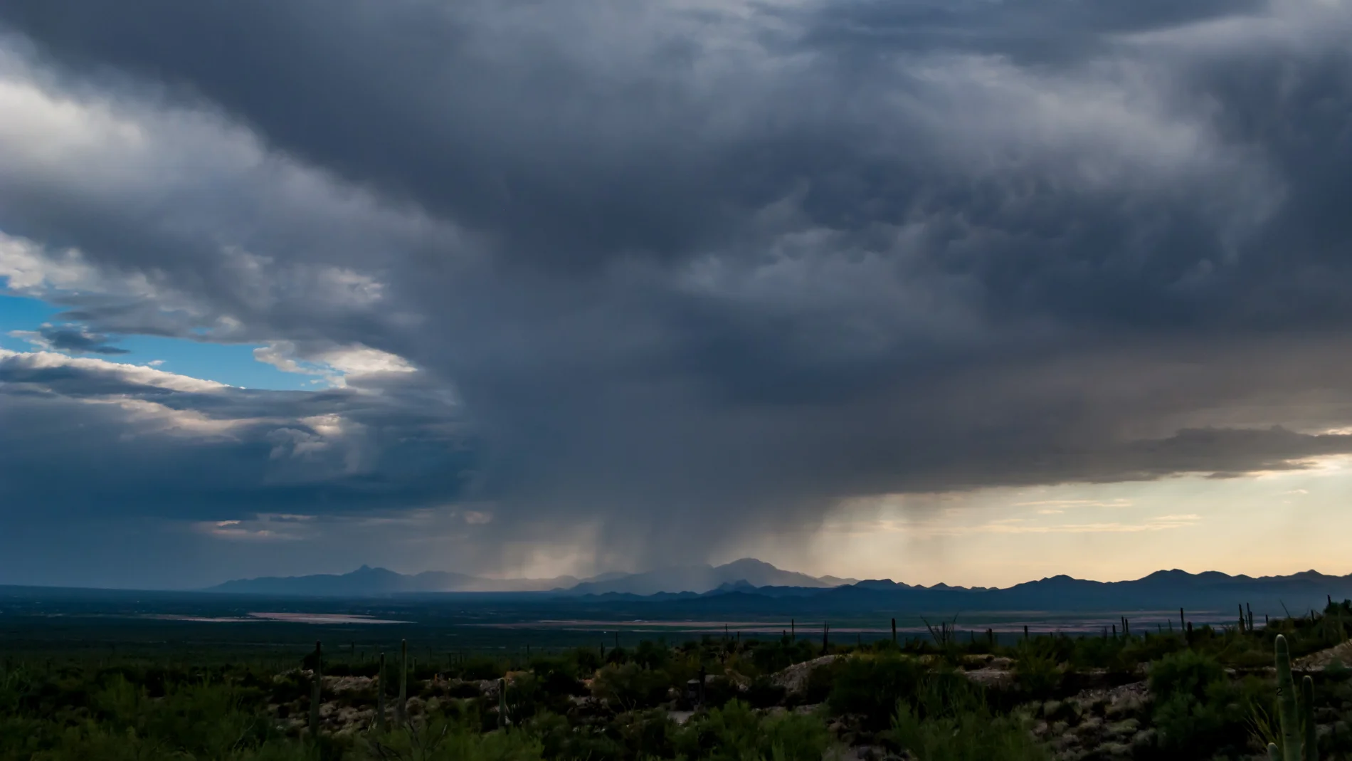
The dog days, the period that usually concentrates the highest temperatures of the year, say goodbye with a significant change in weather. After weeks of intense heat, the arrival of a DANA to the surroundings of the Peninsula will cause a sharp collapse in the thermometers and will activate the alert for strong or very strong storms in large areas of the north, center and east.
The State Meteorological Agency (AEMET) has updated its warnings before the arrival of this episode of instability and predicts showers that may be accompanied by hail, strong gusts of wind and local flooding during the weekend, especially in large areas of the interior of the peninsula.
The change in time will allow all of Spain remains below 40 °C, a threshold that has only been exceeded five days since last June 20.
“We have a change in weather ahead this weekend. A DANA will be located around the peninsula, giving rise to showers accompanied by storms in large areas of the north, center and east,” warns Rubén del Campo, spokesperson for the AEMET. The showers may be strong or very strong and cause ponds of water and local flooding.
Saturday, August 15: the most critical day
Although the instability has already begun to show its first symptoms this Friday in mountain areas, the south of Aragon, Castilla-La Mancha and the interior of the Valencian Community, Saturday will be the day with the most widespread showers due to the impact of DANA.
The storm will affect the Cantabrian coast from the early hours, while the storms will later spread over much of the interior of the peninsula and the Balearic Islands. Only Extremadura and western Andalusia will be left out of the heaviest rainfall.
The AEMET warns that the storms could leave hail with more than two centimeters in diameter. Likewise, the storms will bring gales and strongly intense gusts of wind in their wake.
The change in time will be accompanied by a notable drop in temperatures due to the arrival of cooler air from the Atlantic. In much of the interior the maximums will be between 30 and 32 °Calthough 34 °C will be exceeded in the south of Galicia, Extremadura, Andalusia and the interior of the Mediterranean communities.
Sunday and next week: is the heat coming back?
On Sunday the instability will subside, although the rains will continue in the extreme north and showers and storms will form again in much of the territory, except in the southwest. They will be less widespread than on Saturday, but they may still be strong or very strong, with hail and intense gusts of wind, especially around the Pyrenees, the Iberian System and surrounding areas.
At the same time, thermometers will begin a recovery in much of the country. Mercury It will exceed 34 to 36 degrees in the northeast of the peninsula, the interior of the Mediterranean regions, Mallorca and the central area. The heat will be especially strong in the south of GAlicia, Extremadura and Andalusia, bordering on values of 36 and 38 °Cand even exceeding the threshold of 38 °C. in the Guadiana and Guadalquivir valleys.
Facing the Monday and Tuesday of next weekstable weather will gain ground with a general rise in temperatures that will return the atmosphere to hot, with more than 38 °C in the center, south and northeast. However, the AEMET anticipates that Starting Wednesday the atmosphere will become unstable againwhich could bring new showers and storms and a new drop in temperatures.