
The final stretch of this rocky spring adds a new episode of harsh winter out of season. The State Meteorological Agency has set the focus on Friday, May 15, when a mass of air of polar origin will enter from the north immediately after the passage of a front.
The result will be a combination of persistent rains, locally intense storms, snowfall at relatively low levels for the time and a thermal drop that will return the frost weak to the Pyrenees and other mountains in the northern half.
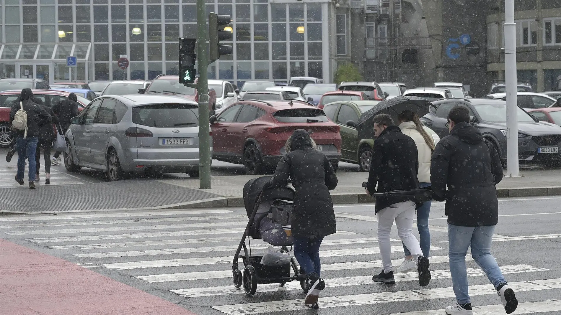
The Cantabrian Sea will be the area where rainfall behaves greater tenacity. The AEMET The rains are expected to be persistent there, occasionally accompanied by storms and especially heavy during the first half of the day. In it opposite end On the map, Girona is emerging as the other hot spot of instability: showers and storms may reach strong intensity, a probability that also extends, although in a more moderate way, to the area around Cabo de la Nao and the Balearic Islands.
With the advance of the front, the skies will cover temporarily in most of the peninsular territory, except in the extreme south, where clouds will be more elusive. Canary Islandsfor its part, will remain outside the polar slope and will record a day of cloudy skies on the northern slope, with weak rains on the mountainous islands and some cloudy intervals in the rest.
Snow from 1200 meters and frost in the Pyrenees
The decrease in the snow level will be one of the most striking of the day. In the mountains of the northern peninsula, flakes will begin to appear from 1,200 or 1,400 meters, with accumulations that may be significant at higher altitudes.
In the rest of the mountain systems, the snow will wait somewhat higher, between 1600 and 1900 meters. The collapse of temperatures maxims It will be widely noticed in the Peninsula and the Balearic Islands, with a notable decrease in the south of the Iberian system and the Catalan precoastal. The minimal They will also fall in the Balearic Islands, the north and the center-east of the peninsula, which will bring weak frosts in the Pyrenees and, more dispersed, in other mountains in the northern half.
Galicia and the Cantabrian coast will remain margin of the fall in maximum temperatures, while the Canary Islands will not experience notable thermal changes. The wind will complete the adverse picture with very strong gusts at various points. It will blow moderately from the north and west in the Peninsula and the Balearic Islands, with strong intervals and very strong gusts on the coast of Alborán, in Ampurdán and in the precoastal mountains of Tarragona and Castellón.
You can also register very strong gusts in the southeast with the front passage. In the Canary Islands, the wind will be moderate from the north with strong intervals and possible very strong gusts. The morning fog banks in the northern mountains will provide the only hint of calm before a day that will be more like a month of March than the anteroom of summer.