
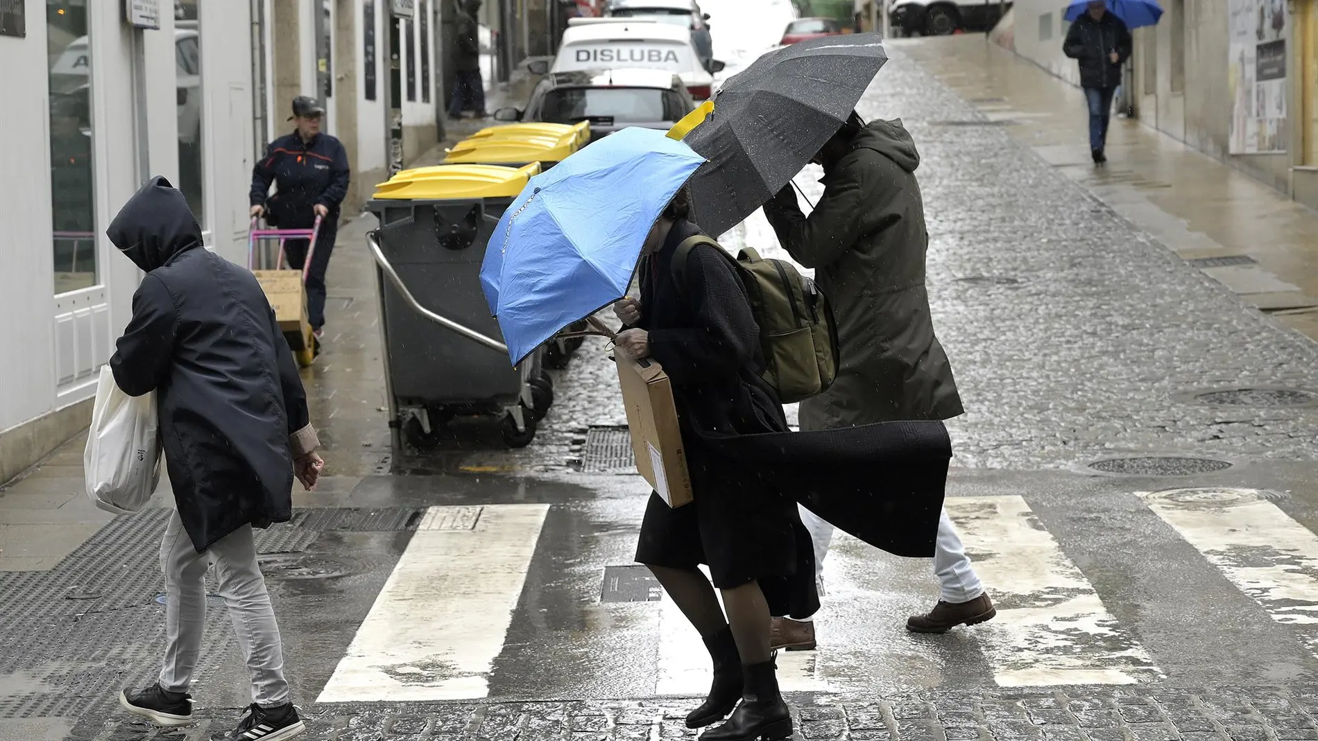
Spain faces 48 hours of unstable weatherwith rain, storms, hail and strong gusts of wind in much of the country. Although the situation will subside towards Thursday, the truce could be brief: meteorologists warn of the possible arrival of a new DANA just in time to complicate the Pilar bridge.
The episode will continue this Tuesday and Wednesday with rains and storms in much of Spain. A DANA located over the northwest of the peninsula will keep the atmosphere unstable, with warnings from the State Meteorological Agency (AEMET) due to rains of up to 40 liters per square meter in one hour, especially in areas of the north, northeast and mountain areas.
This Tuesday, showers and storms may appear in much of the Peninsula, although they will be more intense in northern and central areas. Catalonia, Aragon, Asturias, Castilla-La Mancha, Extremadura and Galicia they have orange notices by precipitation, while they can also be recorded storms in the Balearic Islands and Canary Islands.
Instability will continue Wednesdaywhen rainfall may be strong or very strong, persistent and accompanied by storms and hail, especially in the Cantabrian Sea, the northeast and the Balearic Islands.
The episode will also be accompanied by a general drop in temperaturesmore pronounced in the north of the peninsula and the Canary Islands. Madrid will remain around 21 degrees, while Ávila, León and Segovia will barely reach 18 degrees. In the Mediterranean and the south, higher values will remain, with up to 30 degrees in Alicante. As for the minimum temperatures, the lowest values will be recorded in León, with 9 degrees, and in Ávila and Salamanca, with 10 degrees.
According to the AEMET, starting Thursday, the weather will tend to progressively stabilize, although there may still be intense rains in the extreme north, Catalonia and the Balearic Islands. Rainfall will decrease starting Friday and heading into the weekend, temperatures, still cool for the time of year, will also begin to recover.
A new DANA could complicate the Pilar bridge
However, the weather truce could be brief. According to meteorologist Andrea Danta, from Meteored, a cold air trough It could cause the collapse of another DANA to the southwest of the Peninsula, over North Africa.
Its position is still uncertain, but this configuration could favor the entry of humidity and leave rain and showers in large areas of the southern half, especially in Andalusia, Ceuta and Melilla. It could also increase instability in Canary Islands due to the presence of cold air at altitude.
The evolution of this possible DANA will be especially relevant for the Pilar bridge. According to Danta, small changes in its trajectory could modify the affected areas and the intensity of the rainfall. For now it is too early to specify where it will rain the mostso we will have to follow the evolution of the depression over the next few days.