
The cold morningswith temperatures below 10 degrees recorded in several capitals of the Northern Plateau, and the showers of the last hours their days are numbered.
After the passage of an Atlantic front and a brief thermal lull that has caused a general drop in temperatures in much of the Peninsula, the weather will take a radical turn in the coming hours.
lto meteorological stability will once again prevail throughout the country heading into the last weekend of August and the beginning of September.
Temperatures begin to rise
The instability It will subside after leaving significant accumulations of water in the northeast and very strong gusts of wind in mountain areas. Although Friday will start with a cool atmosphere in the eastern half of the peninsula and in both archipelagos, lThe thermometers will begin their recovery in the west.
On Saturday the stable time in practically the entire country, except on the Galician coast and the north of the Canary Islands, where light rains are expected. The greater presence of sun will favor a almost general rise in maximum temperatures.
The heat will once again exceed 35°C on Sunday
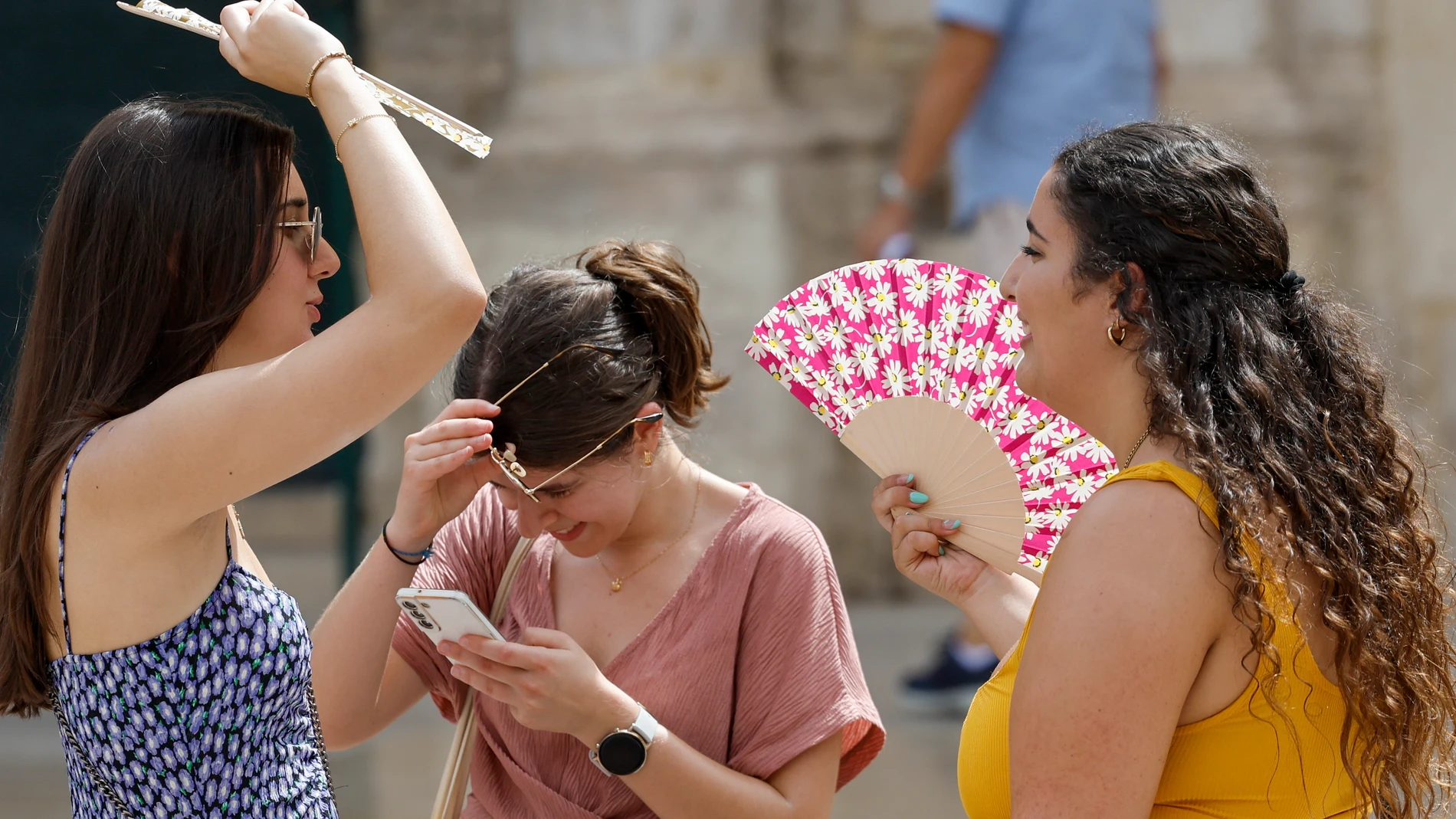
The thermal rise will be even more pronounced on Sunday. The mercury will once again exceed 35 °C in the Guadalquivir and Ebro valleys, the Segura plains, Granada and different areas of the northeast of the peninsula.
For its part, from the specialized portal Meteored They warn that, after this thermal drop, summer has not yet said its last word. The arrival of a warm air mass It will favor a rebound in temperatures that will not only mark the last weekend of the climatological summer, but could last for a good part of next week.
Up to 38 °C in the south with the arrival of September
Coinciding with the start of September, the heat will once again gain prominence and several points in southern Spain could reach 38 °C againwith values more typical of the height of the dog days than of the first days of meteorological autumn.