
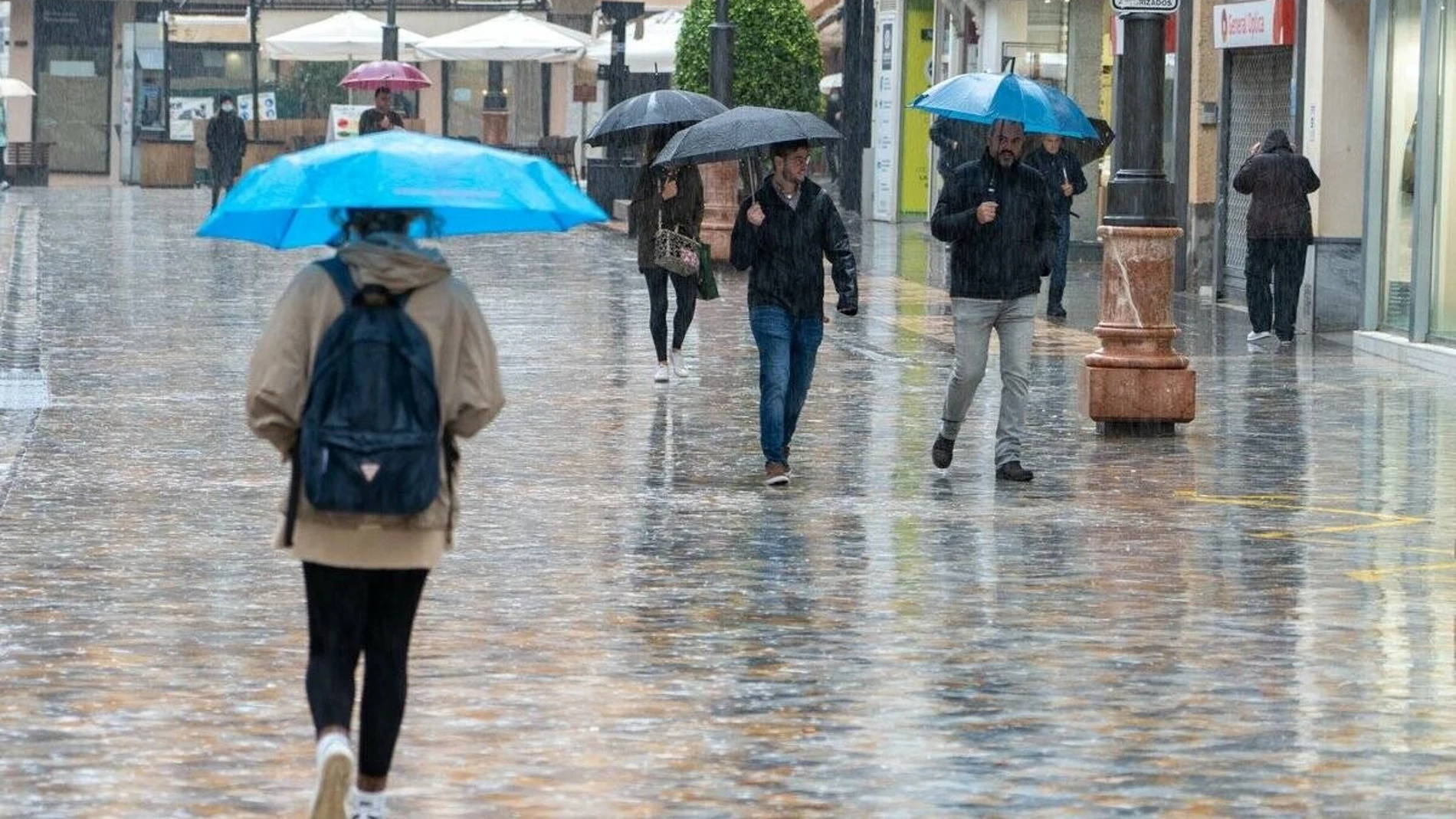
The weather will take a turn this Monday, August 24 in much of Spain. According to the prediction of the State Meteorological Agency (AEMET), A storm located to the west of Portugal will approach the Peninsula and will cause a day marked by instability, with rain, storms and very strong gusts of wind. in different areas.
The situation will be especially complicated in the northwest and west of the Central System, where locally strong and persistent precipitation is expected. In the northeast and the Balearic Islands, strong or very strong showers and storms may also occur, accompanied by hail and wind gusts that could exceed 70 kilometers per hour.
The change will be especially visible in temperatures. The maximums will decrease across the board and the drop will be notableof more than six degrees, in areas of the west of the Northern Plateau and the Central System. However, the heat will continue to be present in some points, with values that may exceed 35 degrees in the Ebro valley, Mallorca and the pre-coastal areas of the Levant.
The storm will leave a Monday of storms in several areas
The fronts associated with the storm will cross the west of the peninsula and will leave very cloudy or overcast skies, in addition to precipitation that may be intense and persistent. Galicia It will be one of the most exposed communities, although instability will also reach other areas of the north and center of the Peninsula..
In the northeast and the Balearic Islands, the scenario will be different but equally adverse. AEMET predicts strong or very strong showers and storms, with hail that could occasionally be large. The agency does not even rule out the formation of a tornado in these areas.
The wind will be another of the protagonists of the day. The southern and southwestern components will predominate in a good part of the Peninsulawith strong intervals and probable very strong gusts in Galicia, the plateaus and the mountainous areas of the northern half. On the coast of the Alboran Sea, gusts of special intensity are not ruled out either.
The situation will be much calmer in the southeast and in some parts of the center, where slightly cloudy or clear skies will predominate. In the Canary Islands, meanwhile, there will be cloudy skies in the north of the islands and some weak rainfall in mountainous areas.
Asturias will have 28 degrees and Santander will stay at 26
The thermal drop will be one of the most notable elements of this day. In Asturias, Oviedo will register a minimum of 16 degrees and a maximum of 28, while in Santander the thermometers will range between 19 and 26 degrees. A Coruña and Pontevedra will have maximum temperatures of just 25 degrees.
In other northern capitals the change will also be noticeable. León will remain at 21 degrees, Burgos will reach 27 and Vitoria-Gasteiz will reach 31. Bilbao will have a maximum of 32 degrees, while Donostia-San Sebastián will reach 31.
The heat will be stronger in the east and southeast. Murcia will be one of the hottest capitals, with 35 degrees, followed by Girona and Palma, which will reach 34. Zaragoza and Logroño will reach 34 and 33 degrees, respectively, while Pamplona will be at 33.
Madrid will have a maximum of 28 degrees and Barcelona will reach 31. In Andalusia, Córdoba will reach 32, Granada at 33 and Málaga at 32, while Seville will remain at 29. The forecast thus reflects an important contrast between the thermal decline in the west and north and the heat that will still persist in much of the east.
In the interior of Galicia, the Cantabrian Sea, the upper Ebro and a good part of the interior of the eastern third, fog could also form during the first hours of the day. The minimums, for their part, will rise in the eastern Cantabrian Sea, some points in the southwest and the Canary Islands, while they will remain without relevant changes in the rest of the country.