
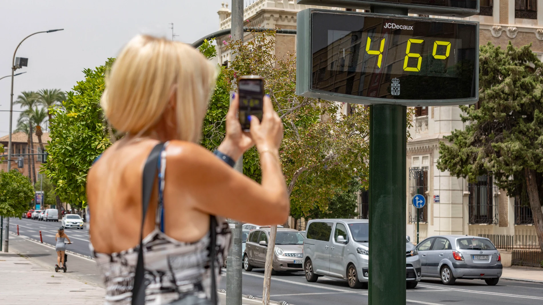
The State Meteorological Agency has placed Zaragoza, Córdoba and Granada as the provincial capitals where the mercury will press with more intensity during the second day of the heat wave that is going through the country. According to the prediction released for July 30, 2026, thermometers will reach 42 degrees on the banks of the Ebro and will remain around 41 in the Andalusian plains, on a day dominated by clear skies.
The episode of extreme heat, which was already harshly felt the day before, will worsen especially in the southwest quadrant, the valleys of the eastern peninsula and the Ebro depression. It will not just be the maximum temperatures that punish the population: the AEMET warns that the minimum temperatures they will barely give way during the early morningwith nights tropical (those in which the thermometer does not drop below 20 degrees) in the entire Mediterranean strip, the Ebro basin, the southern half and the two archipelagos.
A map dyed red and Saharan dust as an added guest
Beyond the specific records in capitals, the prediction indicates that the 35 degrees They will be surpassed in a general way in the interior of the peninsula, in the interior of Mallorca and in parts of the Canary Islands. The thermal rise will be especially pronounced in the eastern third and in Andalusia, with the Gulf of Cádiz as one of the areas where the rise in mercury will be most noticeable compared to the previous day.
Faced with this generalized warming, the Cantabrian façade and Galicia They will experience a respite, with drops that in some inland regions will be notable and maximums that in cities like A Coruña will remain at 23 degrees.
Added to the high temperatures will be the presence of haze, which will especially affect the south of the Peninsula and the eastern end of Canary Islands. The combination of sweltering heat and airborne dust will worsen air quality and add additional muggy sensations in provinces such as Seville, Huelva, Cádiz or Almería. At the opposite end of the country, the skies will not be completely clear: Galicia and the Cantabrian coasts will dawn with low clouds and mists that could leave some isolated drizzle, although they will tend to dissipate as the day progresses.
Afternoon showers on the Ebro and strong wind in the Canary Islands
The heat will not be the only one relevant phenomenon in the Ebro area. The AEMET contemplates that, during the afternoon, evolution clouds will grow in the northern third of the peninsula and that some scattered showers will escape precisely in the valley and its nearby areas. These are isolated storms that, far from cooling the atmosphere, will be accompanied by gusty winds and will maintain the feeling of thermal heaviness.
On the Mediterranean coast the wind will blow loose of an eastern component, while in the interior of the peninsula it will be in a southwesterly direction and will intensify in the central hours of the day. In the Canary Islands, the trade wind will be felt with intensity, with very strong gusts probable in exposed areas, which will not prevent temperatures from continuing to rise in the archipelago.
With this panorama, the day is shaping up to be the hottest of the week in much of the country, waiting for the thermal relief promised by the models for the weekend to be confirmed.