
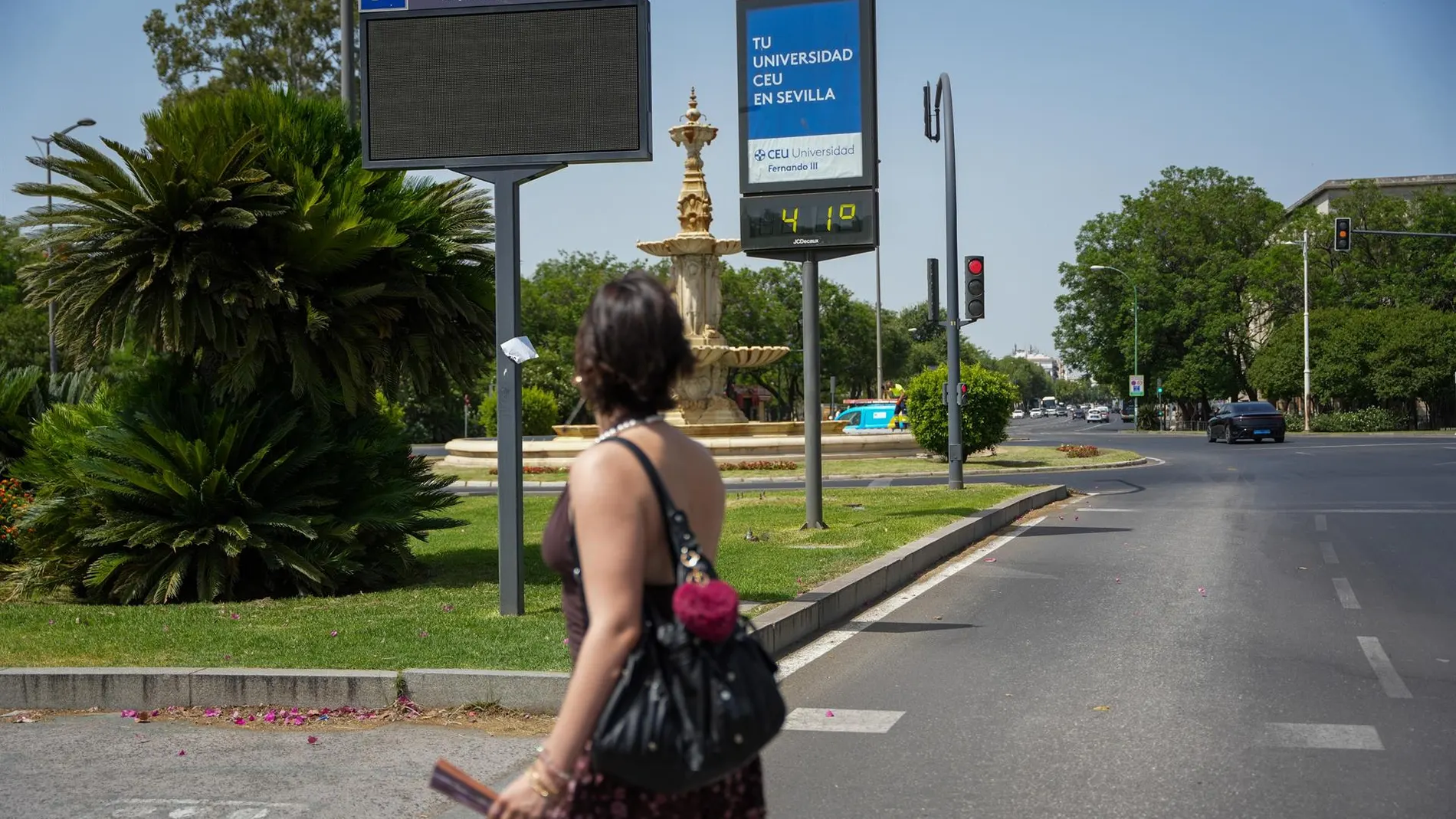
Friday’s day is shaping up, like Thursday’s, as a reflection of the climatic contrasts that mark this summer. While most of the country will continue under clear skies and temperatures typical of a heat wave, the extreme north will wake up under a blanket of thick clouds and showers that the State Meteorological Agency (AEMET) does not rule out that they reach strong intensity during the first hours of the day.
The official prediction details that the Stability will dominate almost the entire Peninsula and the Balearic Islands, but this thermal calm will bring with it a phenomenon that is repeated more and more frequently: torrid nights, incapable of offering respite for rest.
The AEMET has focused on minimum temperatures. The forecast is meridian: the thermometers “they will not drop below 20 degrees, even locally 25, in regions of Andalusia, the Mediterranean, the Canary Islands and the interior of the northeastern and southeastern thirds of the peninsula”.
This circumstance makes the early morning in a suffocating prolongation of the daytime heat, particularly in capitals such as Murcia, where a minimum of 27 degrees is expected, Alicante or Valencia, with 25 and 24 respectively, and in Córdoba or Málaga, which will dawn around 20-24 degrees. The Canary Islands neither They will escape that reality, with Santa Cruz de Tenerife at 24 and Las Palmas at 23 degrees minimum.
The southeastern peninsula reaches 42 degrees during the afternoon
To these very high minimums will be added some maximums that the AEMET itself qualifies as “significantly high” in the Balearic Islands, the eastern third of the peninsula and Andalusia. The mercury will exceed 35 degrees in large areas of the interior and archipelagos, but it will be in the interior of the southeast, points of the Alborán basin and the Guadalquivir valley where there could be exceed 40 degrees.
The most affected capitals will be Murcia, with a forecast of 42 degrees maximum, followed by Córdoba with 39 and Granada with 39. In the Balearic Islands, Palma will remain at 35, while in the Cantabrian the values will be much more contained, with Bilbao at 28 degrees and Santander at 24. The thermal relief will be concentrated exclusively in Galicia and the Cantabrian stripwhere the maximum temperatures will barely touch 25 degrees in cities like A Coruña or Pontevedra.
That same northwest will, however, be the scene of the most notable rainfall of the day. The AEMET warns that the skies will remain “cloudy or covered with probable precipitation, generally weak and occasional, but in the early hours they may be locally strong in parts of the Cantabrian coast.” The combination of low clouds and morning fog banks in Galicia and the Cantabrian area It will put a gray and humid note at the start of the day, just in the opposite corner to the provinces that will sweat from dawn.
South wind and haze in the Mediterranean
Along with the heat, the suspended dust will once again cloud the atmosphere in the south and east of the Peninsula and in the Balearic Islands. The haze will add to the skyrocketing thermometers to worsen the air quality, while the westerly wind will blow moderately on the coasts of the southern peninsula and will roll from south to north lightly in the Balearic Islands. In the Canary Islands, the trade wind will be felt with strong intervals in the most exposed areas, and in the Cantabrian Sea and Galicia the north wind will increase in the afternoon on the Galician coasts.
The image that the AEMET draws is that of a country fractured by time: on one side, the Mediterranean coastline, Andalusia and the archipelagos, trapped in a mass of persistent heat that does not even grant a night’s respite; on the other, a northwest corner covered in clouds, fog and rain that contrasts with the 42 degrees that will be reached hundreds of kilometers away.
The general stability does not hide that Friday will be a day of extremes in which warnings for morning rains in the north will coexist with the implicit warning not to put the fan away even at dawn on the entire Mediterranean coast.