
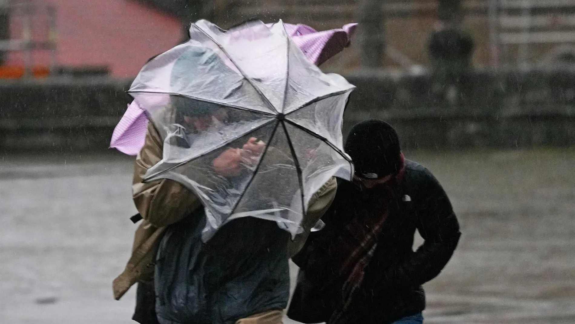
During the remainder of the week the very unstable weather in much of Spainwith temperatures between 5 and 10 degrees below usual for these dates and frequent rainfall in many areas of the country. This episode will be caused by the interaction between a DANA located in the southwest of the peninsula and a cold air trough that will descend from the north between Friday and Sunday, leaving intense showers, storms, snowfall in the mountains and even frost in inland areas
According to the State Meteorological Agency (AEMET)this Wednesday the entry of a humid flow from the north will begin to be noticed, leaving cloudy skies and precipitation in the Cantabrian area, the Pyrenees and northeastern Catalonia. In the afternoon, showers and storms will extend towards the Central System and the south of the Iberian System, and may be locally strong in areas of the west of the Central System and in the Catalan northeast. Besides, Girona will be on notice for waves, while Tarragona and Castellón will activate alerts for strong gusts of wind. The AEMET also predicts snowfall in northern mountains from levels between 1,800 and 2,000 meters, as well as morning fog in mountainous areas, the south of Galicia and areas of both plateaus.
He Thursday A very similar panorama will remain, with weak or moderate rains in the north of the peninsula and snowfall in the Pyrenees, where the snow level could drop to 1,200 meters at the end of the day. During the afternoon, evolution clouds will grow in the interior, Catalonia and the Balearic Islands, leaving behind storms that could be locally strong. Temperatures will continue to drop, especially in the north of the peninsula. Cities like Lugo, Pamplona or Vitoria will barely reach 15 degrees, while during the early morning towns such as Soria or Teruel could register temperatures close to 2 or 3 degrees. The north wind will blow with intensity, increasing the feeling of cold and leaving an especially unpleasant atmosphere.
The weather gets worse on Friday
The situation it will get worse on friday with the arrival of an arctic air mass that will intensify the thermal drop. The maximum temperatures will remain below 15 degrees in large areas of the interior north and east of the peninsula, on a day that, according to the AEMET, will leave temperatures “more typical of March than mid-May”. For its part, Meteored indicates that The rains will be persistent and intense in the north of Galicia, Asturias, Cantabria, the Basque Country, Navarra and the extreme north of Castilla y León. Storms are also expected in Catalonia and, As the front advances, the showers will reach Madrid, Castilla-La Mancha, the Valencian Community and the Balearic Islands. The snow level will drop to 1,300-1,500 meters in the north of the peninsula, something unusual for this time of year. In the Pyrenees and the Cantabrian Mountains, up to 30 centimeters of snow.
Meteored also warns that the frontal system will carry storms that could be accompanied by hail and strong gusts of wind. During the afternoon, the most intense rainfall will move towards the southeast and the Balearic Islands, especially affecting the Valencian Community, Murcia, eastern Andalusia and areas of Castilla-La Mancha. After the front passes, post-frontal showers will continue to occur on the Cantabrian slope, Navarra, the north of the Iberian System and the Pyrenees. Although the atmosphere will continue to be cool during the weekend, the models point to a progressive recovery of temperatures starting on Saturdayhear a stabilization of time.