
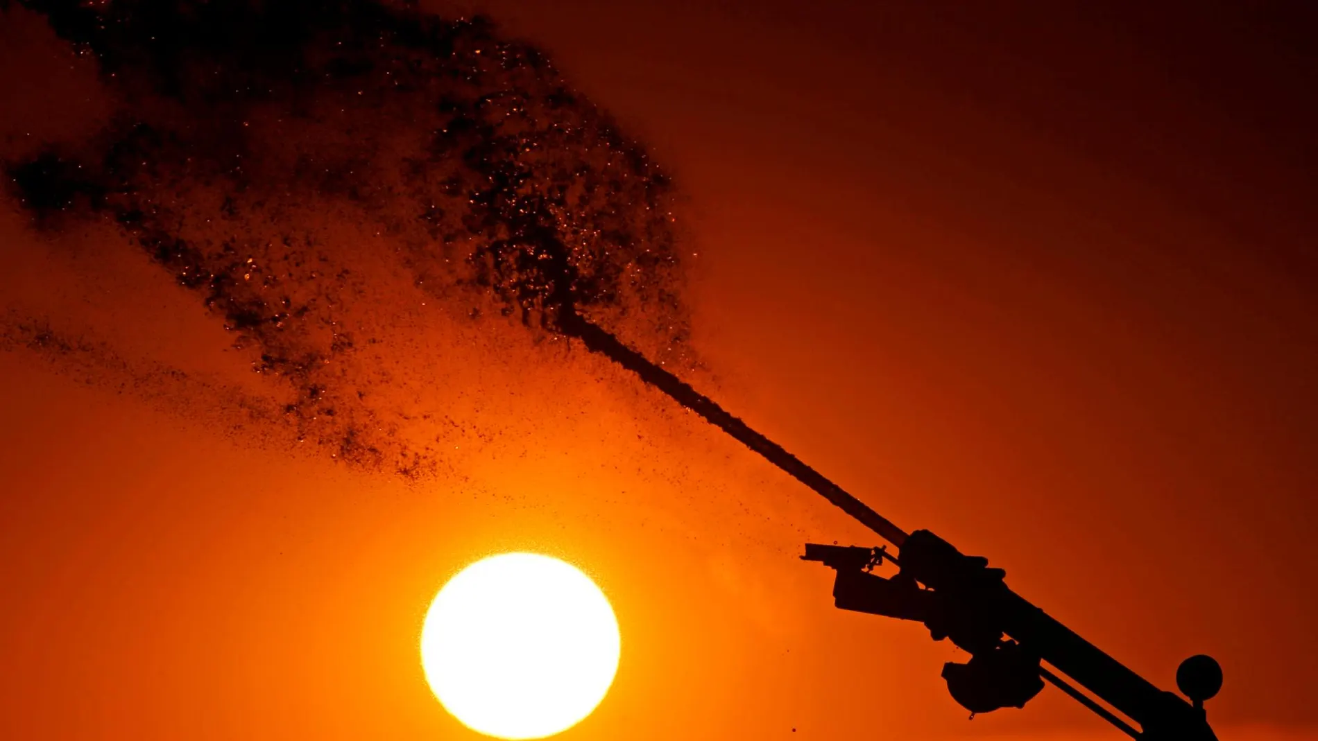
The weather forecast in Spain today confirms a drastic turn towards summer conditions in large areas of Spain. A Saharan air mass will sweep across the peninsula, shooting thermometers to more summer-like levels. Up to 25 provinces will exceed the 28 degree barrier, reaching peaks of 31 degrees in points in the north and center.
The heat map: Where will the sun shine the most?
The prediction of the State Meteorological Agency (AEMET), collected by Servimedia, indicates that the thermal rise will be widespread, but will especially strongly affect the Cantabrian area, where the mercury will rise up to six degrees in just 24 hours.
He ranking of the hottest cities for this Friday is headed byOurense, Toledo and Zaragoza (31 degrees)and Almería, Bilbao, Granada, Guadalajara and Lleida (30).
The predicted values will be typical of the hottest days of the year in Ourense (31), Bilbao (30) and Lugo (29); from mid-July in Almería (30) and Pamplona (28)early July in Logrono (29) and Soria (28)and June in many other capitals.
Meanwhile, cities like Santander, Cádiz or A Coruña They will maintain a much milder environment, with maximum temperatures that will not exceed 19 °C.
Calima and storm warning
The entry of African air will bring with it a notable presence of suspended dust (haze)especially in the southern half of the peninsula, which will give the sky a cloudy and leaden appearance. Furthermore, the arrival of aa storm in the southwest will break stability starting at noon: In Andalusia storms are expected, which may leave plocally strong precipitations and extend towards Extremadura and the west Meseta Sur. With low probability, storms may also occur on the Northern Plateau.