
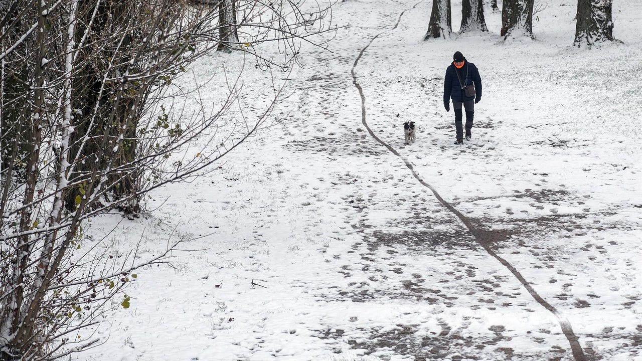
Starting this Wednesday, an air mass of Arctic origin will bring a winter episode to the north of the Peninsula, with snowfall at low levels and a sharp drop in temperatures. The Spanish Meteorological Agency (AEMET) has issued a special warning because it could snow in large areas.
Where is it going to snow?
The first warnings will be activated this Wednesday in four provinces: Lleida (Aran Valley), León (Cantabrian Mountain Range of León), Principality of Asturias (Mountain Range and Picos de Europa) and Huesca (Pyrenees of Huesca). Minimum temperatures of up to 3 degrees below zero are expected in Soria and Ávila, and The largest snow accumulations in 24 hours will occur in Leónwith 15 centimeters and expected from 1000 meters.
.
On Thursday, the snow level will drop to 600 meters, also affecting low areas of the Basque Country, Navarra and the north of the Northern Plateau. In the Cantabrian mountain range, more than 20 cm could accumulate in 24 hours.
The peak moment is expected between Thursday afternoon and Friday morning, when The snow level could be around 300-400 meters in the eastern Cantabrian Sea and the upper Ebro, affecting important communication routes. They are expected accumulations of 3-5 cm in low areas and 10-20 cm in mountain spots. Less intense snowfall could also affect the Iberian and Central systems, as well as the Catalan pre-Pyrenees.
Starting on Saturday, the arrival of a warmer Atlantic air mass is expected, which will favor an increase in temperatures and snow levels, with snowfall and frost gradually being restricted to mountain areas.