
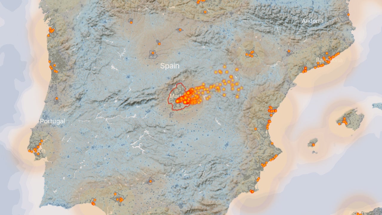
For decades, the world’s climate commitments have been based on a paradox: we depend on the data that countries themselves report about their emissions. A system that, although well-intentioned, is more like an exam where each student corrects his or her own exam. But now, that opacity has a new observer: Climate TRACE, a global alliance that uses artificial intelligence, satellites and open data to track gas emissions with unprecedented precision greenhouse effect in real time.
Founded in 2020 by a group including Gavin McCormick, an expert in sensing technology systems, Al Gore, and a consortium of universities and technology organizations, The project has an ambitious goal: to measure all the Earth’s emissions, without depending on governments. And he is achieving it. According to its latest reports, Climate TRACE already tracks more than 352 million individual sources of pollution, from oil refineries to thermal power plants, mines, factories, ships and airplanes.
The system combines billions of data from about 300 observation satellites (NASA, ESA, Planet Labs, among others) with more than 11,000 ground sensors and climate models. Each pixel of a satellite image, of an agricultural field, an industrial chimney or a glacier, becomes a source of information: temperature, radiation, gas concentration, changes in vegetation or the color of the sea.
From this data, algorithms identify patterns invisible to the human eye. For example, a subtle increase in sulfur dioxide that betrays an active refinery or the thermal footprint of a newly reopened coal mine and the trace of methane escaping from an oil pipeline in Siberia or a gas plant in Texas.
As Gavin McCormick explains: “We can see who is polluting, how much and from where, without anyone having to tell us.”. The system crosses satellite data with atmospheric models and inverse reconstruction algorithms, a technique that allows calculating the origin of a gas from its dispersion, to estimate emissions on a scale that goes from the country to the individual facility.
Traditionally, emissions inventories were built with indirect data: how much coal was purchased, how much gasoline was burned, how many animals were on a farm. Climate TRACE changes that logic. It is no longer about estimating consumption, but rather directly observing the atmosphere.
This means that climate reporting is no longer dependent on political will or administrative delay. It can take two years for a country to report its emissions; Climate TRACE does it in weeks. Furthermore, as a non-profit coalition supported by scientists at the University of Oxford, Stanford University, Johns Hopkins, MIT and other institutions, their data is public and verifiable.
The impact of this transparency is profound, beyond cartographic curiosity. For the first time, companies and governments can be audited from space. And not only to denounce, but to improve. Several energy companies have already used Climate TRACE data to detect methane leaks or inefficiencies in your industrial processes before they become bigger problems.
Early analyzes of the project showed something revealing: global emissions do not come primarily from countries, but from a surprisingly small number of infrastructures. Just 500 industrial facilities (power plants, refineries, steel mills, cement plants and gas fields) are responsible for more than 14% of all emissions on the planet.
They also detected massive leaks of methane, a gas with a warming potential 80 times greater than CO₂, especially in areas where there was no monitoring before. In 2023, for example, The satellites used by Climate TRACE detected a leak equivalent to the entire annual gas consumption of France.
These data not only reconfigure climate diplomacy, but they give names and coordinates to the pollution. We are no longer talking about “Chinese emissions” or “American emissions”, but rather about specific facilities, with dates, managers and monthly trends.
But the power of this tool also raises ethical and geopolitical questions: Could it be used to sanction countries or companies in real time? Could it open the door to a new type of environmental diplomacy based on data and not promises?
For now, what is clear is that the atmosphere no longer holds secrets. And Every time a power plant burns coal, an oil pipeline loses gas, or a forest disappears, artificial intelligence sees it, measures it, and records it.