
The first weekend of September will begin with intense heat and stable time in the Mediterranean and the Guadalquivir, where the Tropical nights. However, From Sunday a notable time change is expected with the arrival of an Atlantic Front which will increase cloudiness and rainfall in the northeast peninsular, according to the forecast of the State Meteorology Agency (Aemet).
Thermal climb
On Saturday it will be marked by a remarkably ascent of temperatures. The spokesman of the Aemet, Rubén del Campo, warns of “significantly high” maxims in areas of the Eastern Cantabrian and Guadalquivir, with “notable, even locally extraordinary” promotions in the Cantabrian and Alto Ebro, where they can be up to 10 higher degrees on Friday for the arrival of South winds. In Bilbao they could reach 36 or 37 degrees, while in Santander the 33 will be touched and in San Sebastián the 30.
The 34 degrees will also be exceeded in points of the Ebro Valley, the North Plateau and much of the center and southern the Peninsula, likely to reach 38 degrees. In the Guadalquivir. The minimums will also increase significantly in the northern half and will not fall from 20 in the Mediterranean and Guadalquivir.
At the end of the day, the approach of a front will cover the heavens in Galicia and leave rains in its west half that could be locally strong in Rías Baixas.
A front advances Sunday and changes the panorama
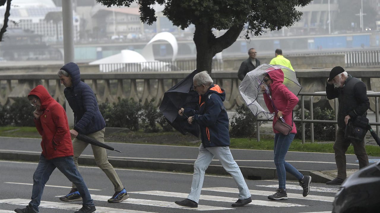
On Sunday, the front will advance east and cover the skies of the northwest half leaving high cloudiness in the rest of the Peninsula and in the Balearic Islands. It will also bring rainfall to Galicia, Asturias and west of Castilla y León and Extremadura, without ruling out other regions of the northwest half.
With the arrival of a fresher air mass after the front, a remarkable decrease in temperatures is expected. As pointed out from the field, in the east peninsular a Thermal drop from 6 to 8 degrees with respect to the previous day. However, the wind will arrive more overheated to the Mediterranean area, which will cause a significant ascent of temperatures, especially inside the Valencian Community and Region of Murcia.
Forecast for next week
Facing next week, the forecast points to temperatures below normal for the time in the west peninsular, while in the Mediterranean area they will be higher than the average for this time of the year. As for rainfall, they will be above the usual in Galicia, extreme north, Catalonia and the Balearic Islands. On Tuesday, intense showers could occur in the Peninsular Mediterranean area and in the Balearic Islands.