
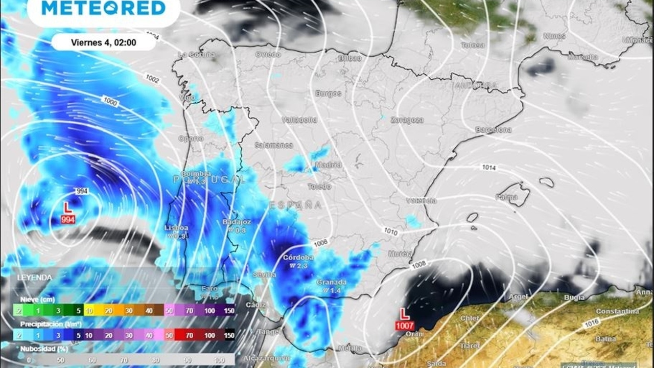
The Deep Nuria storm will continue to affect the peninsula and the Canary Islands between this Thursday and Friday, leaving generalized rains and accumulations of More than 100-150 l/m² at points of the Centra systeml. These rainfall, combined with the thaw, could cause a Increase in river and stream flows. Ibérica Soriana also expected significant rainfall.
Samuel Biener, meteored meteorologist, warns that, as the center of Borrasca approaches, Several lines of instability and frontal systems will tour the Peninsula and the Canary Islands. In the archipelago, the winds of the West-Sign will cause hurricane gusts in La Palma and Tenerife points, although they are expected to lose intensity for the night.
Very unstable atmosphere in the next few hours
The expert explains that Nuria will boost a mass of temperate and very humid subtropical air of subtropical origin, which will favor the extension of rainfall to much of Spain. The rains are expected to be more intense inside, the Iberian system, the Ebro and Navarra Valley, with the possibility of occasional storms.
According to Biener, Precipitation will advance from southwest to northeasternEntering Ceuta, Andalusia and Extremadura, and extending during the morning to Castilla y León, Community of Madrid, Castilla-La Mancha, Galicia, the Cantabrian mountain range and the interior of the Valencian Community.
Rains and storms in these communities
Between early morning and Friday morning, The rains will reach the Ebro Valley, the Iberian system and Navarra. Besides, The formation of a low in the Mediterranean could intensify rainfall in some areas of the interior east. In the early hours of the day, the center of La Borrasca will enter through the west weakening rapidly, but due to the proximity of the core of Borrasca, another front system will arrive through the west. that will reinforce the rains.
During the morning and noon on Friday, Precipitation will be more intense in Andalusia, Extremadura, the Central System, Galicia and Los Montes de Toledor, affecting much of the territory. However, the Cantabrian coast, part of the East Peninsular and the Balearic Islands will be outside this new phase of instability.
Biener also points out that The storms can be locally strong in the Iberian, the Ebro and Navarra Valley, with possible hails and intense wind gusts. The snow level will remain high, between 1,800 and 2,200 meters, due to the temperate air that Nuria drags to the peninsula.