
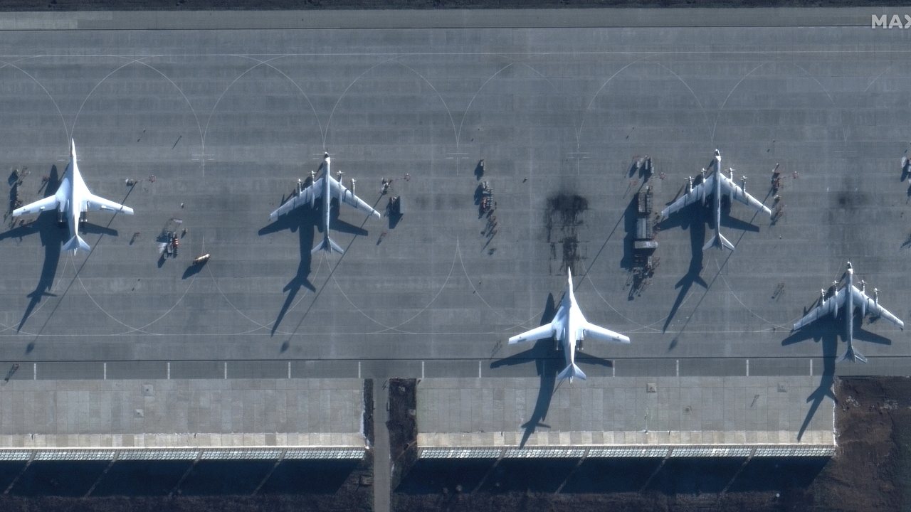
According to the European Space Agency, remote sensing is a way of obtaining information about objects by taking and analyzing data without the instruments used to acquire it being in direct contact with the object. Basically, photography is a form of remote sensing. Like most satellites. What they can detect It will depend on the sensors they have on board: cameras, infrared, spectrometers…And the news is that Iran has communicated through the Tasnim agency that it will launch three remote sensing satellites before the end of the current Persian year, on March 22.
Hassan Salarieh, director of the Iranian Space Agency, noted during the opening of World Space Week that the launch of Iran’s first satellite in geostationary orbit, Pajouhesh 3, was a milestone achieved through collaboration with knowledge-based companies through a public tender.
“The Iran’s space industry has more than 20 years of history and we owe its progress to the achievements during the era of Sacred Defense,” Salarieh said, referring to Iran’s technological advances in times of war.
He also stated that the agency was established in the early 2000s, initially focusing on the development of simple communication and remote sensing satellites similar to Sputnik 1. “At that time, the goal was to launch an object into orbit,” Salarieh added.
In 2008, Iran successfully launched its Omid satellite, which was followed remote sensing satellites developed by local universitieswhich presented resolutions ranging from tens to hundreds of meters.
“Today, after two decades, we are capable of building advanced communication and remote sensing satellites”said Salarieh, mentioning the Pars satellite, launched last year with a resolution of 15 meters. He added that the Noor satellites, which are also remote sensing, have been a success, with the participation of the private sector playing a key role.
“This year, we will have a private sector launch – confirmed the director of the Iranian space agency -. Soon, we will launch the Kosar satellite in collaboration with private companies. The Iranian Space Agency has pre-purchased its full capacity as a support measure.”
Salarieh also highlighted the upcoming launch of the Martyr Soleimani IoT satellite constellation, which will collect and transmit critical data from disaster-prone areasparticularly where there is no land infrastructure.
The satellites will be launched at an orbit of 500 kilometers above the Earth’s surface. Kosar is a detection satellite with a resolution of 3.5 meters, weighs 30 kilograms and has a color image width of 15 kilometers. “The images sent by the satellite are suitable for agricultural and cartographic applications,” explains Shahrabi Farahani, director of the company Space Omid, responsible for the design of the satellites, in a statement.
The Hodhod, for its part, is an Internet of Things (IoT) satellite designed and built based on the cubic satellite standard in dimensions of three units. “It can be used in the fields of agriculture, transportation and crisis management. Hodhod has an orbital life of 4 years and is placed in an orbit similar to the Kosar satellite – adds Farahani -. We search build a satellite constellation that simultaneously performs the two tasks of remote sensing and narrowband communications”.
What does this mean? Basically, Iran will launch a satellite, Kosar, whose resolution will allow it to clearly see objects whose size is not less than 3.5 meters, while Hodhod will act like Elon Musk’s Starlink satellites, giving access to the internet in those regions where access by antenna or terrestrial is impossible.