
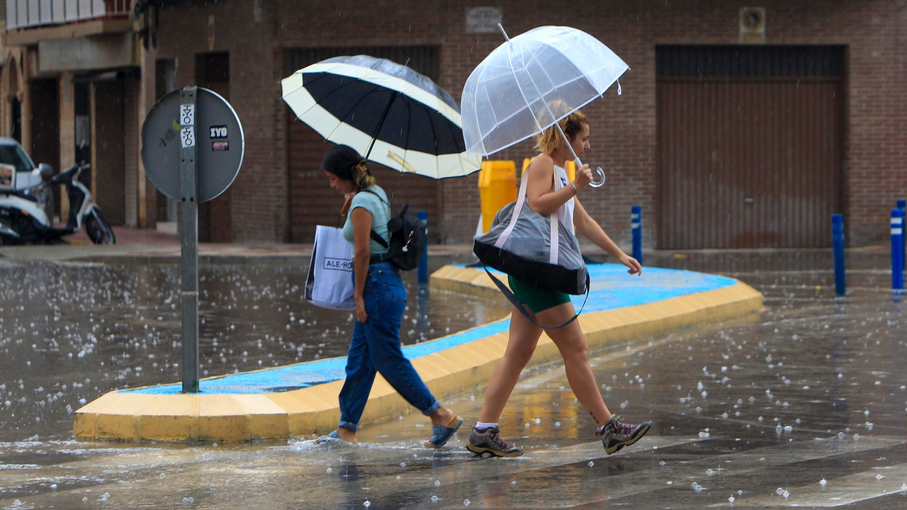
The weekend has been marked, once again, by meteorological instability before the imminent arrival of a new Atlantic front which will mainly affect the northwest and southeast of the Peninsula. Thus, today’s weather in Spain will stand out for the arrival of more precipitation, cloudy skies and a general drop in temperatures.
Nevertheless, The State Meteorological Agency (AEMET) highlights significant phenomena as locally heavy and/or persistent rainfall in the west and south of Galicia, Sanabria, north of Cáceres, west of the Central system and southwest of the Northern plateau. Furthermore, he points out that probable intervals of strong wind, and/or very strong gustsin high areas of the northern third of the peninsula, without ruling out them in the Northern plateau.
However, the AEMET has assured in a publication on its official account on the social network X (previously known as Twitter), @AEMET_Espthat Tropical Cyclone Kirkwhich is currently a hurricane, will approach Europe in the coming days, becoming a “deep storm”although it will not be until on Wednesday when it passes near the north of the peninsula and shows its effectssuch as sea storms and very strong winds.
Regarding cloudiness, it is expected that, due to the Atlantic front that will enter the Peninsula, cloudiness increases from northwest to southeast, with rainfall that may occasionally be accompanied by storms in Galicia and that will also extend across the northwest quadrant, upper Ebro and western Pyreneesand less likely and more dispersed in surrounding areas.
Likewise, also These storms are expected to be abundant over wide areaseven locally strong or persistent in the west and south of Galicia, Sanabria, north of Cáceres, west of the Central system and southwest of the Northern plateau. Thus, in the rest of the Peninsula there are slightly cloudy skies or with intervals of medium and high clouds, and with low morning clouds in the north of the Mediterranean area. Furthermore, in the Canary Islands, slightly cloudy skies or with intervals of low clouds are expected, without ruling out evolving cloudiness in the interior of Tenerife.
Maximum temperatures drop in some areas
The AEMET warns that The maximum temperatures will decrease in the northwest of the peninsula and the midlands of the Canary Islands, while they will increase in the rest of the Peninsula and in the Balearic Islands, especially on the coast of Valencia.where this sharp rise will be most noticeable. In addition, Minimum temperatures will increase almost universallybeing even notable in the eastern Cantabrian, upper Ebro and areas of Aragon.
In this way, provincial capitals such as Albacete, Bilbao, Córdoba or Girona will reach maximum temperatures of 30ºCreaching said temperature in some places such as Valencia (34ºC), Seville (33ºC), Murcia (34 ºC) or Malaga and Jaen (31ºC).
Strong gusts of wind on the coasts and mountain areas
The State Meteorological Agency Winds from the south are expected to blow in the eastern Mediterranean area and northeast of the peninsula. Loose or variable west of the Strait and Alborán. Thus, the winds will blow from the southwest in the rest, being more intense in the northwest of the peninsula, with possible intervals of strong and/or very strong gusts on coastlines and high areas, without ruling them out in areas of the Northern plateau. For its part, In the Canary Islands, light trade winds will blow, with a tendency to roll northwest..